MyTopo
Mott Creek Montana US Topo Map
Couldn't load pickup availability
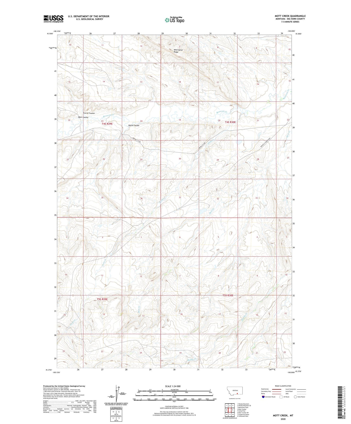
2024 topographic map quadrangle Mott Creek in the state of Montana. Scale: 1:24000. Based on the newly updated USGS 7.5' US Topo map series, this map is in the following counties: Big Horn. The map contains contour data, water features, and other items you are used to seeing on USGS maps, but also has updated roads and other features. This is the next generation of topographic maps. Printed on high-quality waterproof paper with UV fade-resistant inks.
Quads adjacent to this one:
West: Bear Coulee
Northwest: Woody Mountain
North: Woody Mountain SE
Northeast: Bentonite Flats
East: Camp Four
Southeast: Yellowtail Dam
South: Grapevine Dome
Southwest: Bear Coulee SW
This map covers the same area as the classic USGS quad with code o45108d1.
Contains the following named places: Bear Coulee, Corral Coulee, Horse Coulee, J R Scott Number 15 Dam, Point Creek