MyTopo
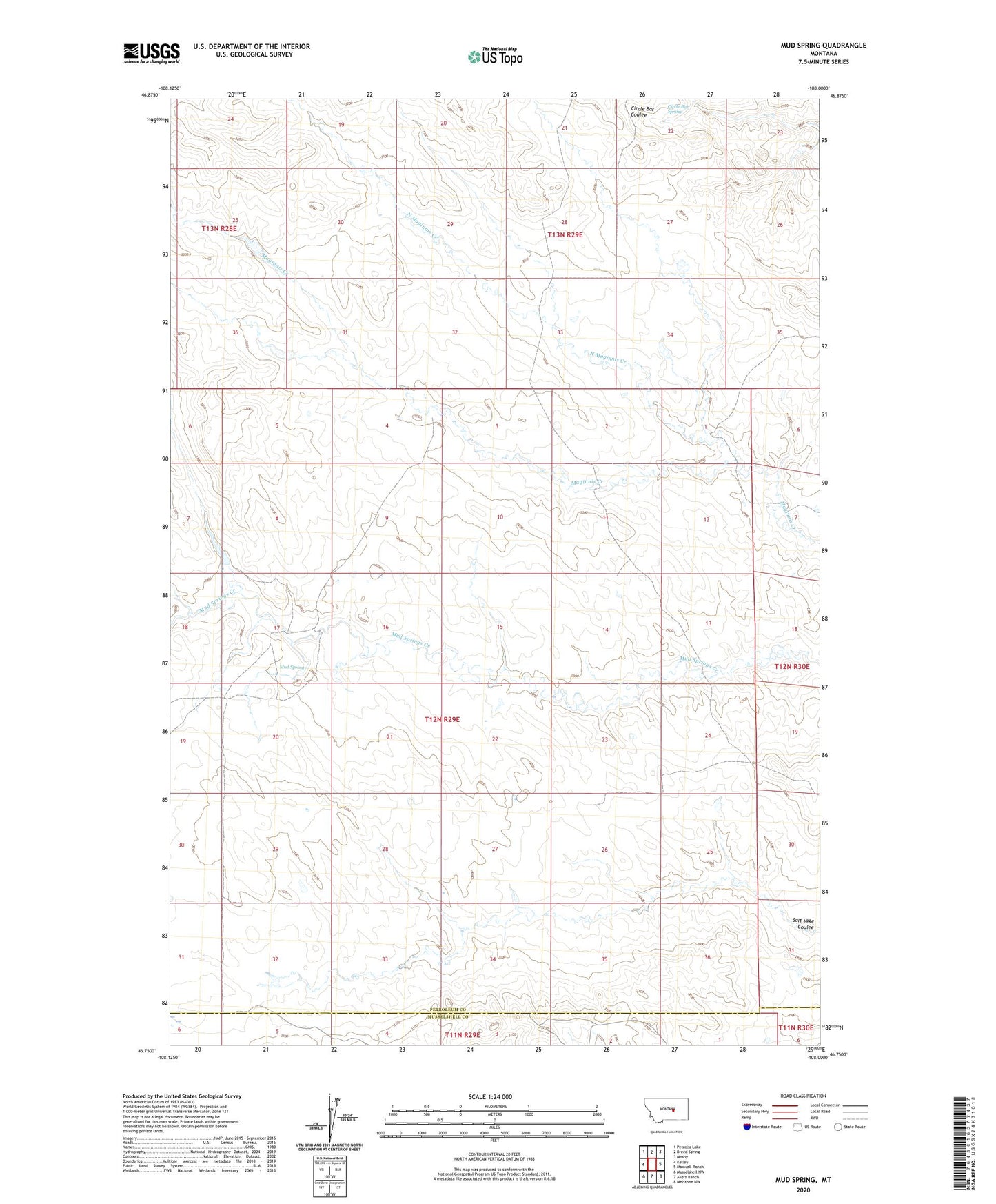
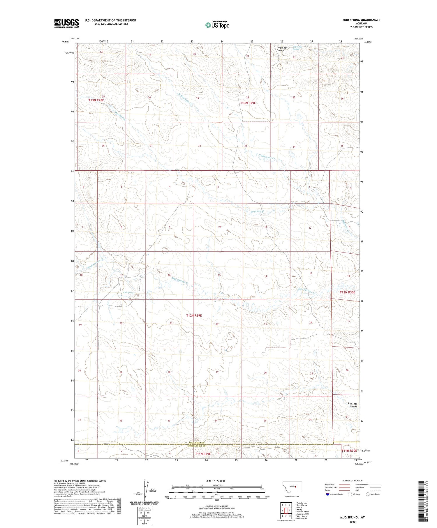
Mud Spring Montana US Topo Map
Couldn't load pickup availability
2020 topographic map quadrangle Mud Spring in the state of Montana. Scale: 1:24000. Based on the newly updated USGS 7.5' US Topo map series, this map is in the following counties: Petroleum, Musselshell. The map contains contour data, water features, and other items you are used to seeing on USGS maps, but also has updated roads and other features. This is the next generation of topographic maps. Printed on high-quality waterproof paper with UV fade-resistant inks.
Quads adjacent to this one:
West: Kelley
Northwest: Petrolia Lake
North: Breed Spring
Northeast: Mosby
East: Maxwell Ranch
Southeast: Melstone NW
South: Akers Ranch
Southwest: Musselshell NW
Contains the following named places: Bethel Number 1 Dam, Bethel Number 7 Dam, Circle Bar Spring, East Burgeton School, Frazer Number 1 Dam, Goffena Number 2 Dam, Minor School, Mud Spring, North Maginnis Creek