MyTopo
Needle Butte Montana US Topo Map
Couldn't load pickup availability
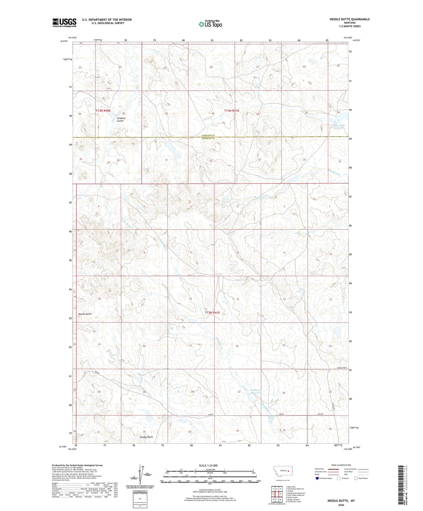
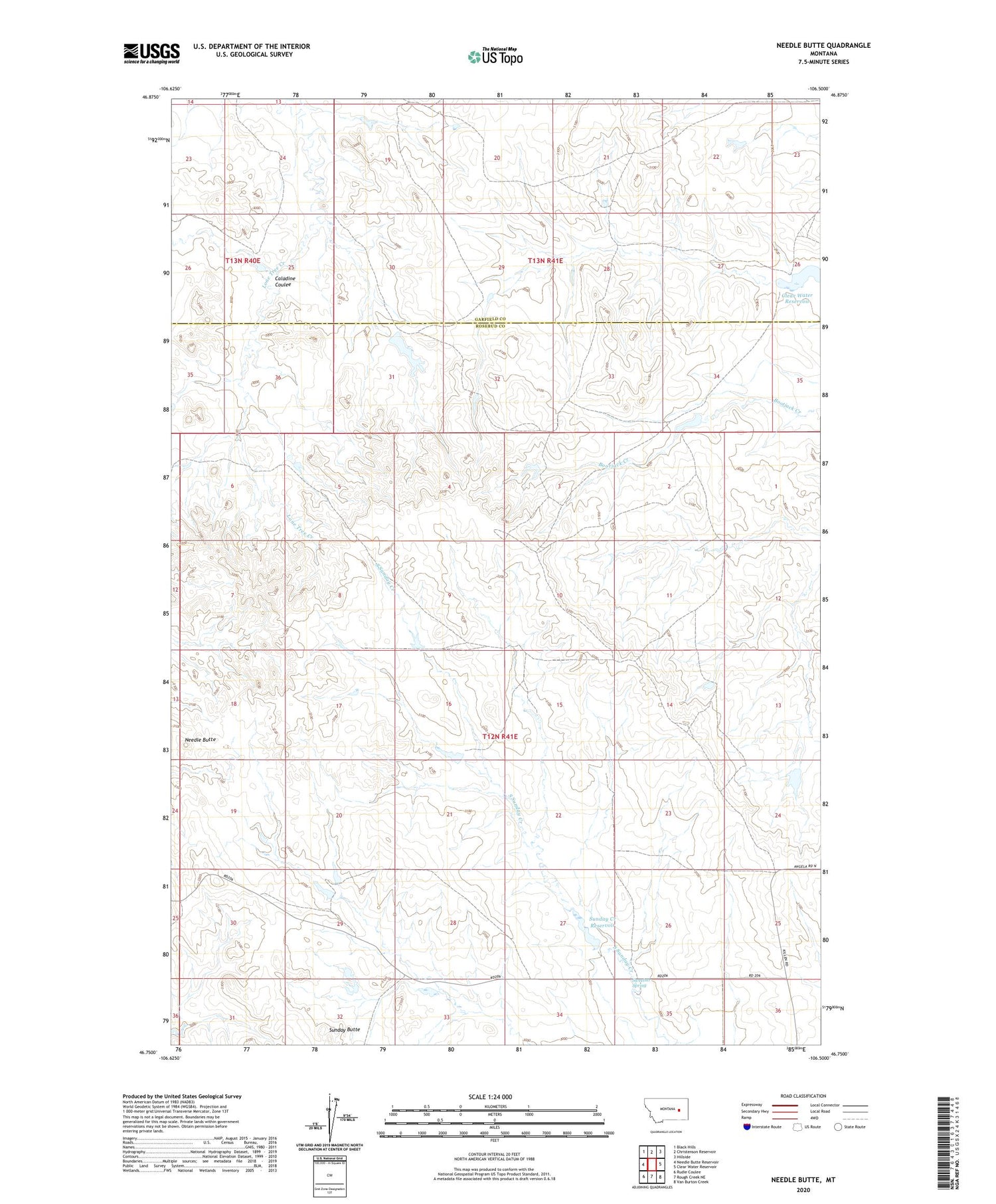
2020 topographic map quadrangle Needle Butte in the state of Montana. Scale: 1:24000. Based on the newly updated USGS 7.5' US Topo map series, this map is in the following counties: Rosebud, Garfield. The map contains contour data, water features, and other items you are used to seeing on USGS maps, but also has updated roads and other features. This is the next generation of topographic maps. Printed on high-quality waterproof paper with UV fade-resistant inks.
Quads adjacent to this one:
West: Needle Butte Reservoir
Northwest: Black Hills
North: Christenson Reservoir
Northeast: Hillside
East: Clear Water Reservoir
Southeast: Van Burton Creek
South: Rough Creek NE
Southwest: Rudie Coulee
Contains the following named places: Caladine Coulee, G Newman Number 1 Dam, G Newman Number 6 Dam, Killen Number 7 Dam, Killen Number 8 Dam, Killen Number 9 Dam, Lee Number 11 Dam, Lee Number 12 Dam, Lee Number 13 Dam, Maudlin Post Office, Maudlin School, Needle Butte, Nordang Coulee, Sunday Butte, Sunday Creek Reservoir, Sunday Creek Reservoir Dam, Sweetser Spring, Westcott School