
MyTopo
Oliver Point Montana US Topo Map
Couldn't load pickup availability
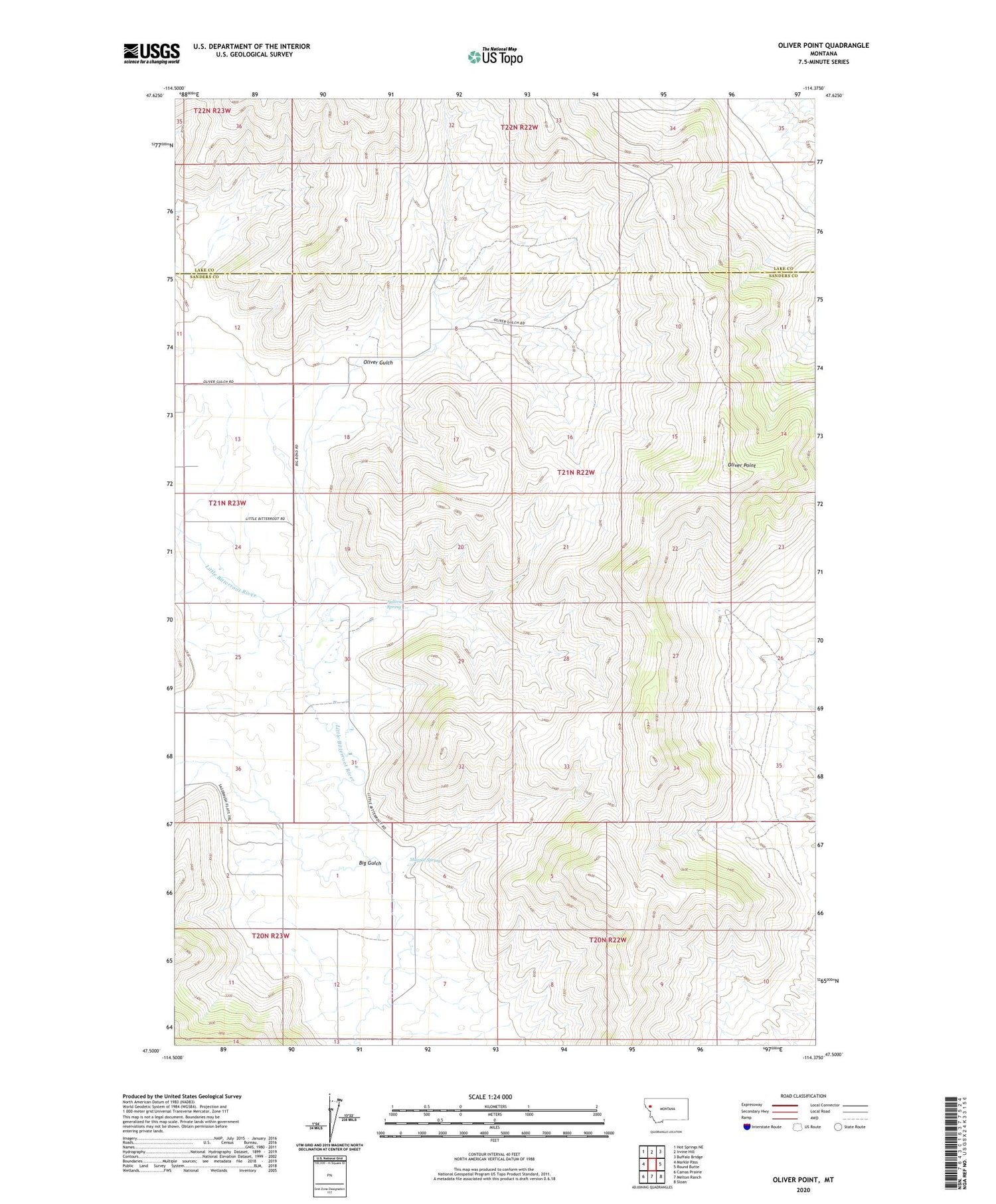
2020 topographic map quadrangle Oliver Point in the state of Montana. Scale: 1:24000. Based on the newly updated USGS 7.5' US Topo map series, this map is in the following counties: Sanders, Lake. The map contains contour data, water features, and other items you are used to seeing on USGS maps, but also has updated roads and other features. This is the next generation of topographic maps. Printed on high-quality waterproof paper with UV fade-resistant inks.
Quads adjacent to this one:
West: Markle Pass
Northwest: Hot Springs NE
North: Irvine Hill
Northeast: Buffalo Bridge
East: Round Butte
Southeast: Sloan
South: Melton Ranch
Southwest: Camas Prairie
Contains the following named places: 20N23W12AAA_01 Well, 21N22W07DCAA01 Well, 21N22W30BAD_01 Well, 21N22W30BDAA01 Well, 21N22W30CDA_01 Well, 21N23W13CCBC01 Well, 21N23W13CCD_01 Well, 21N23W13CCD_02 Well, 21N23W24ADC_01 Well, Big Gulch, Magpie Spring, Oliver Gulch, Oliver Gulch Post Office, Oliver Point, Sullivan Spring


