MyTopo
Papps Reservoir Montana US Topo Map
Couldn't load pickup availability
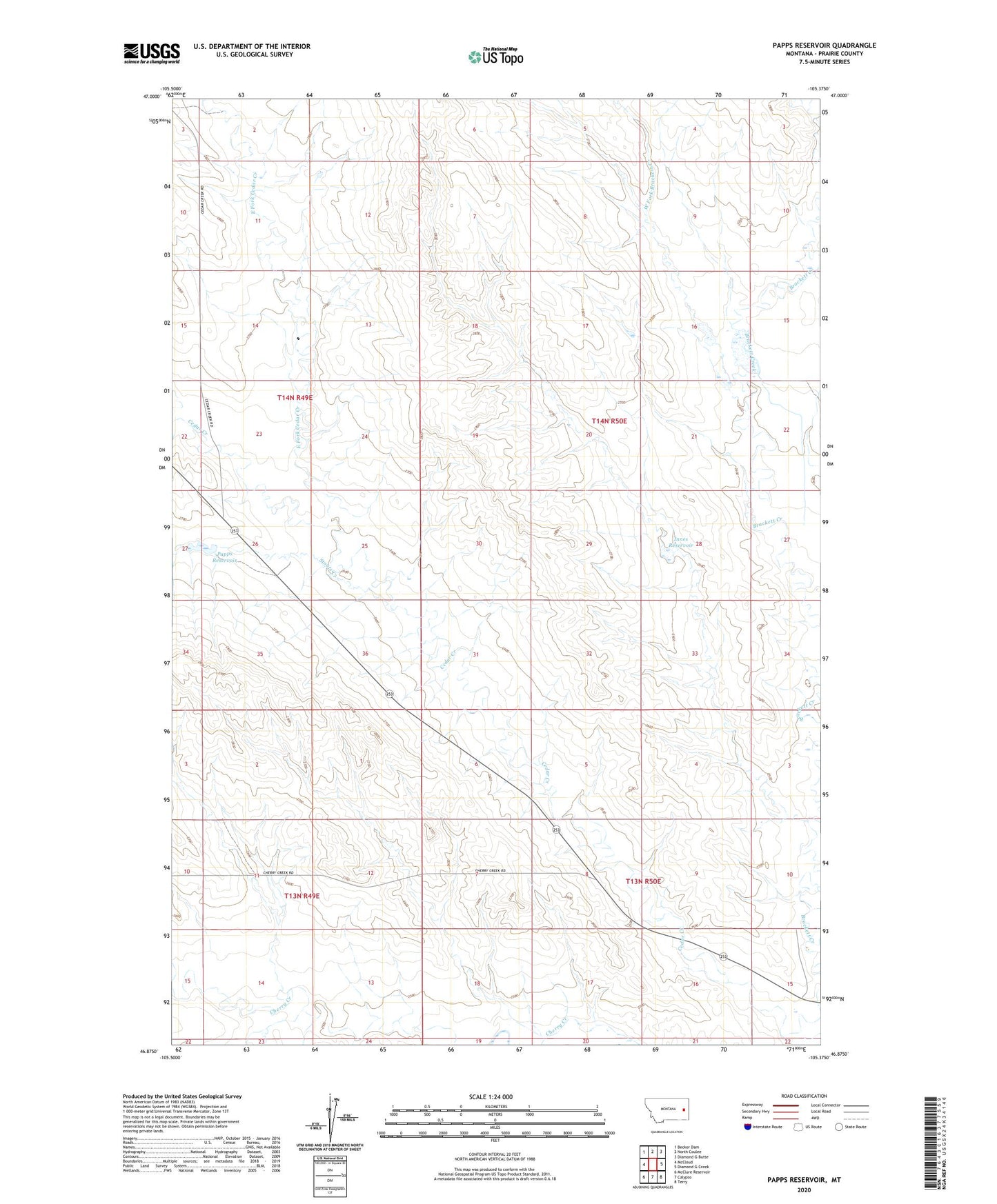
2020 topographic map quadrangle Papps Reservoir in the state of Montana. Scale: 1:24000. Based on the newly updated USGS 7.5' US Topo map series, this map is in the following counties: Prairie. The map contains contour data, water features, and other items you are used to seeing on USGS maps, but also has updated roads and other features. This is the next generation of topographic maps. Printed on high-quality waterproof paper with UV fade-resistant inks.
Quads adjacent to this one:
West: McCloud
Northwest: Becker Dam
North: North Coulee
Northeast: Diamond G Butte
East: Diamond G Creek
Southeast: Terry
South: Calypso
Southwest: McClure Reservoir
Contains the following named places: 13N49E02CCDB01 Well, 13N50E09CCAA01 Well, 13N50E10CDDC01 Well, 14N50E29DCBA01 Well, East Fork Cedar Creek, Fraser School, Innes Reservoir, Innes Reservoir Dam, Nefsy Number 2 Dam, Nefsy Number 3 Dam, Papps Reservoir, Roosevelt School, Stouts Creek, West Fork Brackett Creek