MyTopo
Pocochichee Butte Montana US Topo Map
Couldn't load pickup availability
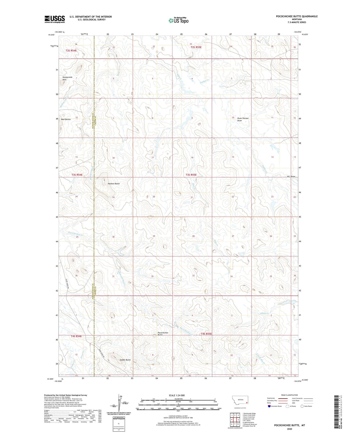
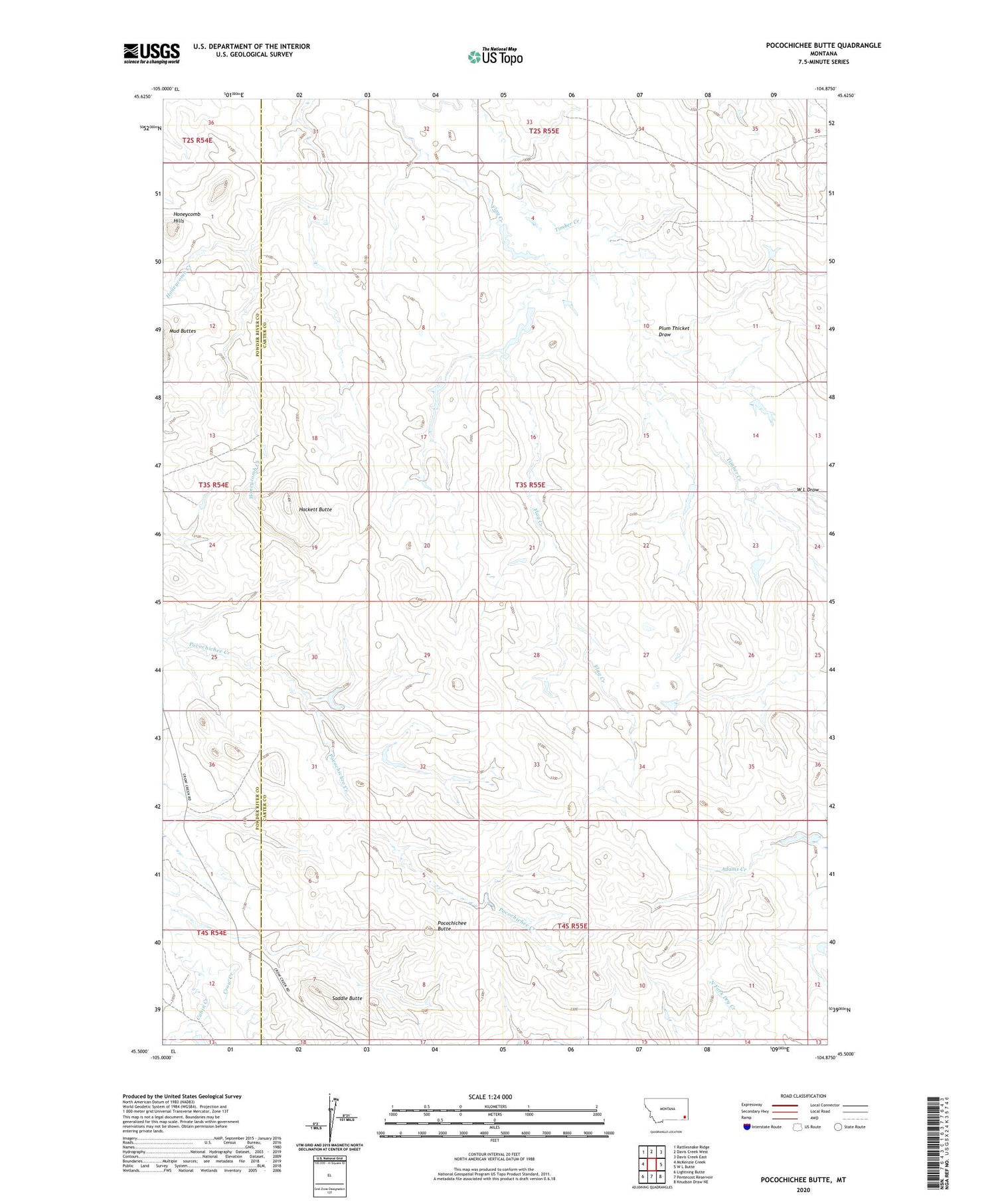
2020 topographic map quadrangle Pocochichee Butte in the state of Montana. Scale: 1:24000. Based on the newly updated USGS 7.5' US Topo map series, this map is in the following counties: Carter, Powder River. The map contains contour data, water features, and other items you are used to seeing on USGS maps, but also has updated roads and other features. This is the next generation of topographic maps. Printed on high-quality waterproof paper with UV fade-resistant inks.
Quads adjacent to this one:
West: McKenzie Creek
Northwest: Rattlesnake Ridge
North: Davis Creek West
Northeast: Davis Creek East
East: W L Butte
Southeast: Knudson Draw NE
South: Pentecost Reservoir
Southwest: Lightning Butte
Contains the following named places: 03S55E07DAB_01 Well, 04S55E07ABC_01 Well, Cabin Creek, Hackett Butte, Moore School, Pete Dam, Plum Thicket Draw, Pocochichee Butte, Saddle Butte, W L Draw