MyTopo
Lightning Butte Montana US Topo Map
Couldn't load pickup availability
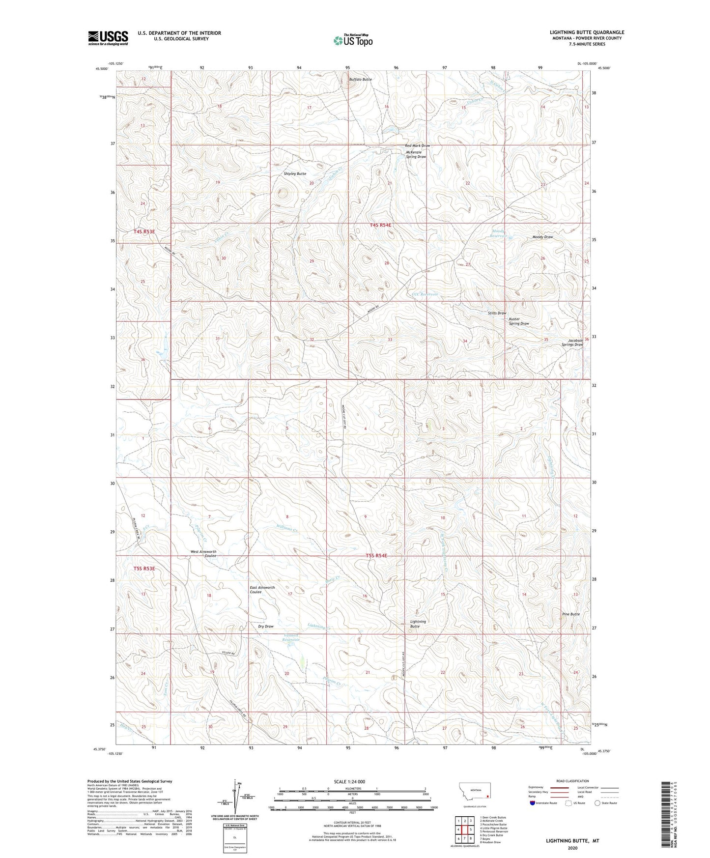
2024 topographic map quadrangle Lightning Butte in the state of Montana. Scale: 1:24000. Based on the newly updated USGS 7.5' US Topo map series, this map is in the following counties: Powder River. The map contains contour data, water features, and other items you are used to seeing on USGS maps, but also has updated roads and other features. This is the next generation of topographic maps. Printed on high-quality waterproof paper with UV fade-resistant inks.
Quads adjacent to this one:
West: Little Pilgrim Butte
Northwest: Deer Creek Buttes
North: McKenzie Creek
Northeast: Pocochichee Butte
East: Pentecost Reservoir
Southeast: Knudson Draw
South: Boyes
Southwest: Dry Creek Butte
This map covers the same area as the classic USGS quad with code o45105d1.
Contains the following named places: 04S54E17CDD_01 Well, 04S54E20DB__01 Well, 04S54E21BAA_01 Well, 04S54E21BAD_01 Well, 04S54E22CBB_01 Well, 04S54E26ACAD01 Well, 04S54E32CBD_01 Well, 04S54E33BDA_01 Well, 05S53E13BD__01 Well, 05S54E16ACC_01 Well, 05S54E17BABA01 Well, 05S54E19BB__01 Well, 05S54E20BDD_01 Well, Buffalo Butte, Butte Creek, CCC Reservoir, Dry Draw, East Ainsworth Coulee, Jacobson Springs Draw, Jim Drake Creek, Kuster Spring Draw, Lightning Butte, Lightning Creek, McKenzie Spring Draw, Moody Reservoir, North Cabin Creek, Pine Butte, Red Mark Draw, Shipley Butte, Shipley Reservoir Dam, South Creek, Stilts Draw, Vanettes Dam, Vannett Reservoir, West Ainsworth Coulee, West Fork Lightning Creek, Williams Creek