MyTopo
W L Butte Montana US Topo Map
Couldn't load pickup availability
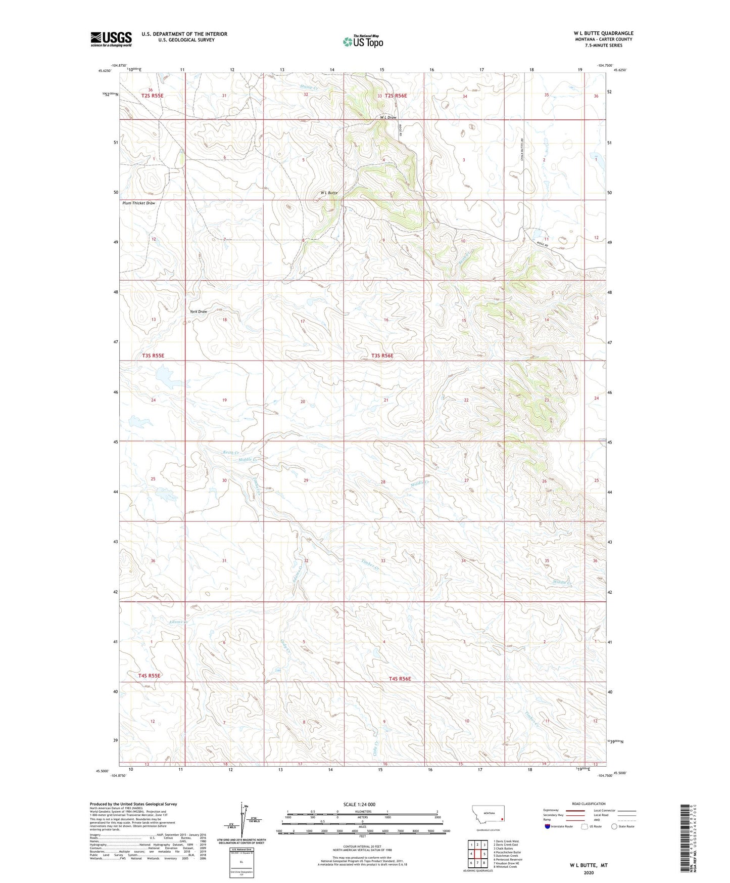
2024 topographic map quadrangle W L Butte in the state of Montana. Scale: 1:24000. Based on the newly updated USGS 7.5' US Topo map series, this map is in the following counties: Carter. The map contains contour data, water features, and other items you are used to seeing on USGS maps, but also has updated roads and other features. This is the next generation of topographic maps. Printed on high-quality waterproof paper with UV fade-resistant inks.
Quads adjacent to this one:
West: Pocochichee Butte
Northwest: Davis Creek West
North: Davis Creek East
Northeast: Chalk Buttes
East: Dutchman Creek
Southeast: Whitetail Creek
South: Knudson Draw NE
Southwest: Pentecost Reservoir
This map covers the same area as the classic USGS quad with code o45104e7.
Contains the following named places: 03S56E04CBAC01 Well, 03S56E22BCCC01 Well, Adams Creek, Cady Creek, Keith Creek, Middle Creek, W L Butte, York Draw