MyTopo
Poker Jim Butte Montana US Topo Map
Couldn't load pickup availability
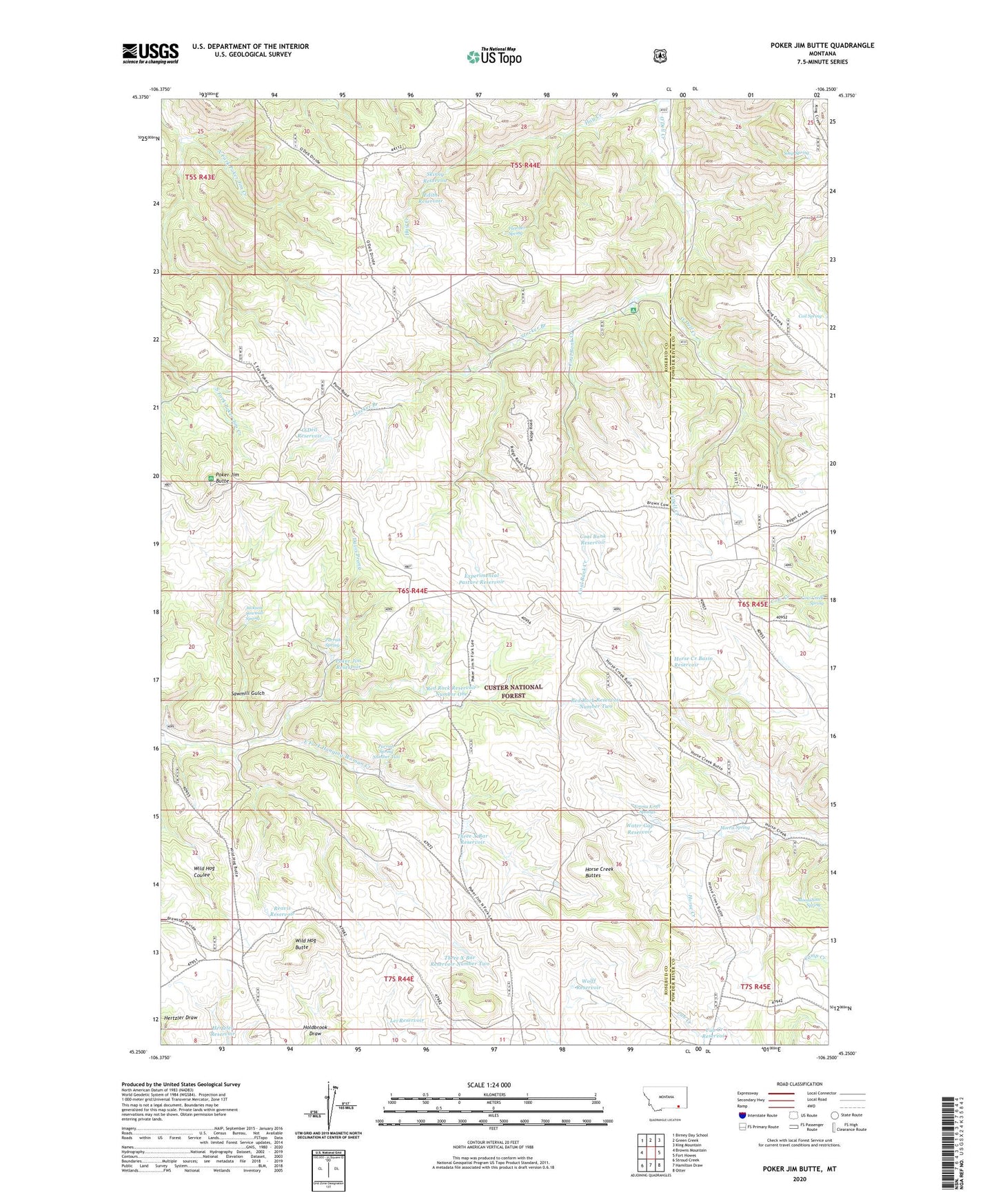
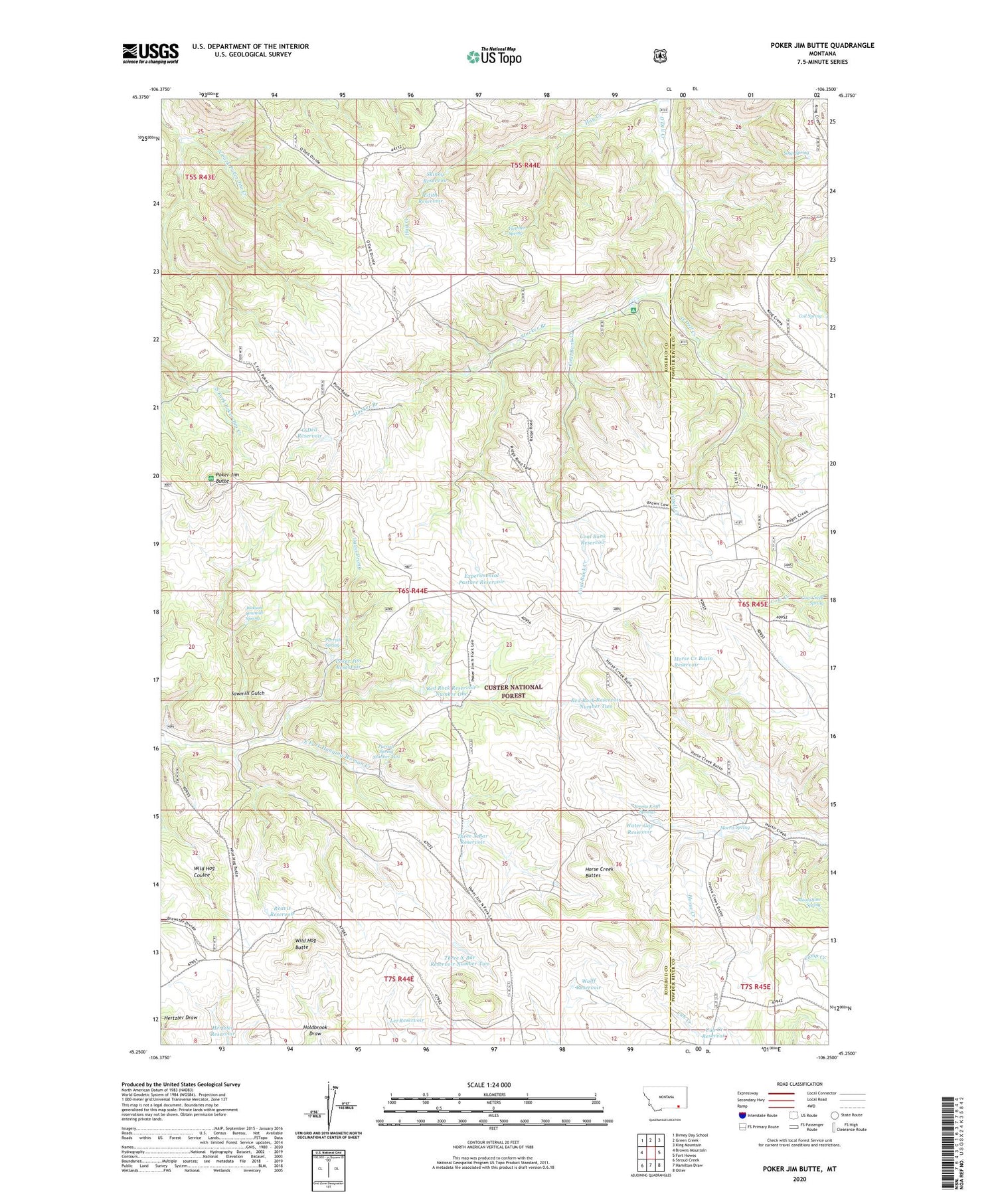
2020 topographic map quadrangle Poker Jim Butte in the state of Montana. Scale: 1:24000. Based on the newly updated USGS 7.5' US Topo map series, this map is in the following counties: Rosebud, Powder River. The map contains contour data, water features, and other items you are used to seeing on USGS maps, but also has updated roads and other features. This is the next generation of topographic maps. Printed on high-quality waterproof paper with UV fade-resistant inks.
Quads adjacent to this one:
West: Browns Mountain
Northwest: Birney Day School
North: Green Creek
Northeast: King Mountain
East: Fort Howes
Southeast: Otter
South: Hamilton Draw
Southwest: Stroud Creek
Contains the following named places: Coal Bank Creek, Coal Bank Reservoir, Coil Spring, Cub Creek Reservoir, Davis Prong, Edith Reservoir, Emma Kraft Springs, Experimental Pasture Reservoir, Fletcher Spring, Hertzler Reservoir, Horse Creek Basin Reservoir, Horse Creek Buttes, Jackson Sawmill Spring, Lei Reservoir, Moonshine Spring, Morris Spring, O'Dell Reservoir, Parrish Spring, Parrish Spring Number Two, Poker Jim Butte, Poker Jim Picnic Area Recreation Site, Poker Jim Reservoir, Reavis Reservoir, Red Rock Reservoir Number One, Red Rock Reservoir Number Two, Sawmill Gulch, Skinny Reservoir, Soap Spring, Stocker Branch, Three X Bar Reservoir, Three X Bar Reservoir Number Two, Water Gap Reservoir, Wild Hog Butte, Wolff Reservoir