MyTopo
Birney Day School Montana US Topo Map
Couldn't load pickup availability
Also explore the Birney Day School Forest Service Topo of this same quad for updated USFS data
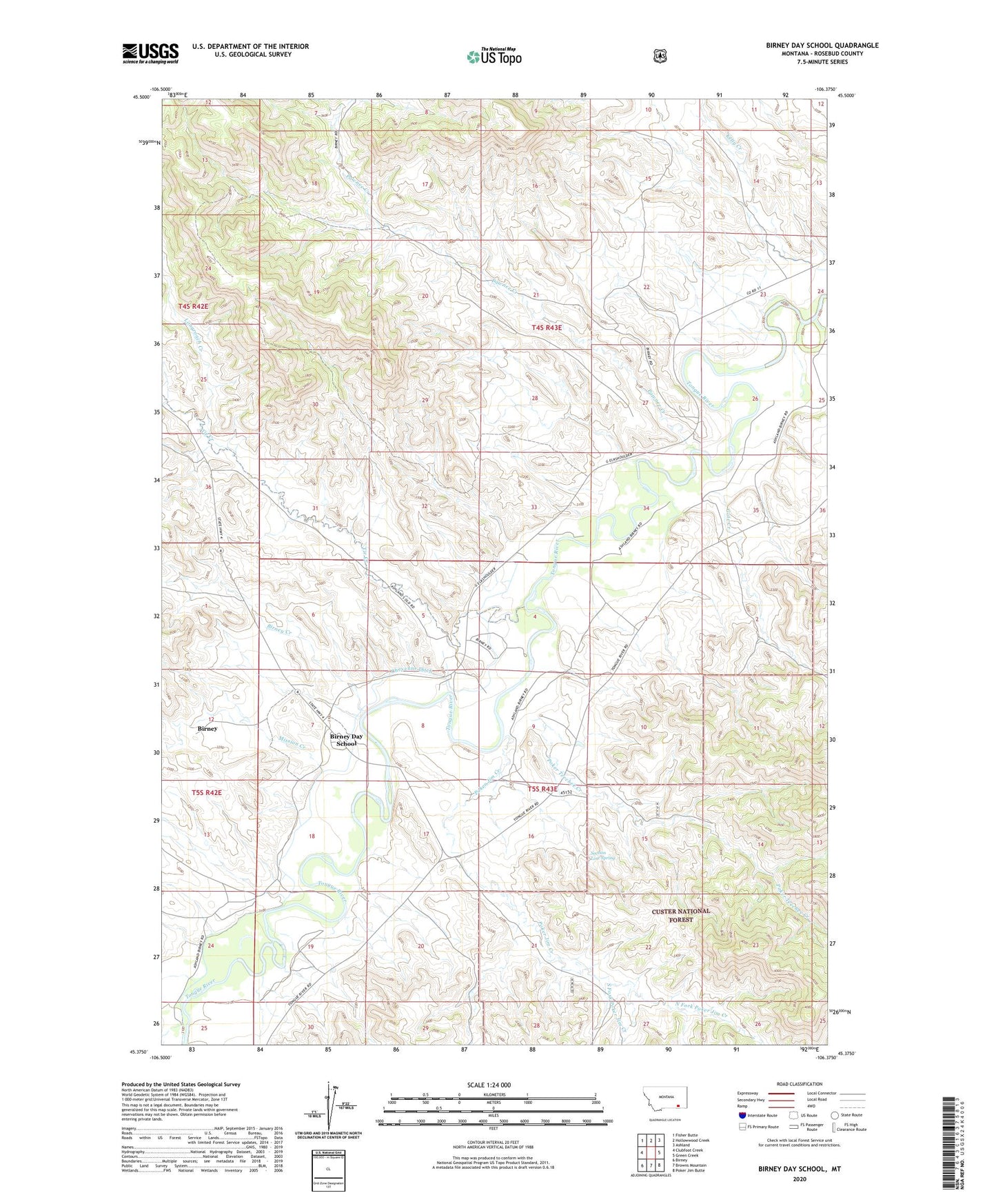
2024 topographic map quadrangle Birney Day School in the state of Montana. Scale: 1:24000. Based on the newly updated USGS 7.5' US Topo map series, this map is in the following counties: Rosebud. The map contains contour data, water features, and other items you are used to seeing on USGS maps, but also has updated roads and other features. This is the next generation of topographic maps. Printed on high-quality waterproof paper with UV fade-resistant inks.
Quads adjacent to this one:
West: Clubfoot Creek
Northwest: Fisher Butte
North: Hollowwood Creek
Northeast: Ashland
East: Green Creek
Southeast: Poker Jim Butte
South: Browns Mountain
Southwest: Birney
This map covers the same area as the classic USGS quad with code o45106d4.
Contains the following named places: 04S43E15ABA_01 Well, 04S43E27DDD_01 Well, 04S43E33CCD_01 Well, 04S43E33CDD_01 Well, 04S43E35CDCD01 Well, 05S43E04AAAA01 Well, 05S43E04CBC_01 Well, 05S43E04CBDA01 Well, 05S43E07DBDA01 Well, 05S43E07DD__01 Well, 05S43E08CBCC01 Well, 05S43E08CBCC02 Well, 05S43E16AAAD01 Well, 05S43E17CBCB01 Well, 05S43E18ABBD01 Well, 05S43E18ABCA01 Well, 05S43E18DBAA01 Well, Birney Census Designated Place, Birney Creek, Birney Day School, Cheyenne Ditch, Cook Creek, Gate Creek, Longroach Creek, Mission Creek, North Fork Poker Jim Creek, O'Dell Creek, Pawnee Creek, Poker Jim Creek, Poker Teechee Creek, Section Line Spring, South Fork Poker Jim Creek, Tie Creek