MyTopo
Rocky Coulee SE Montana US Topo Map
Couldn't load pickup availability
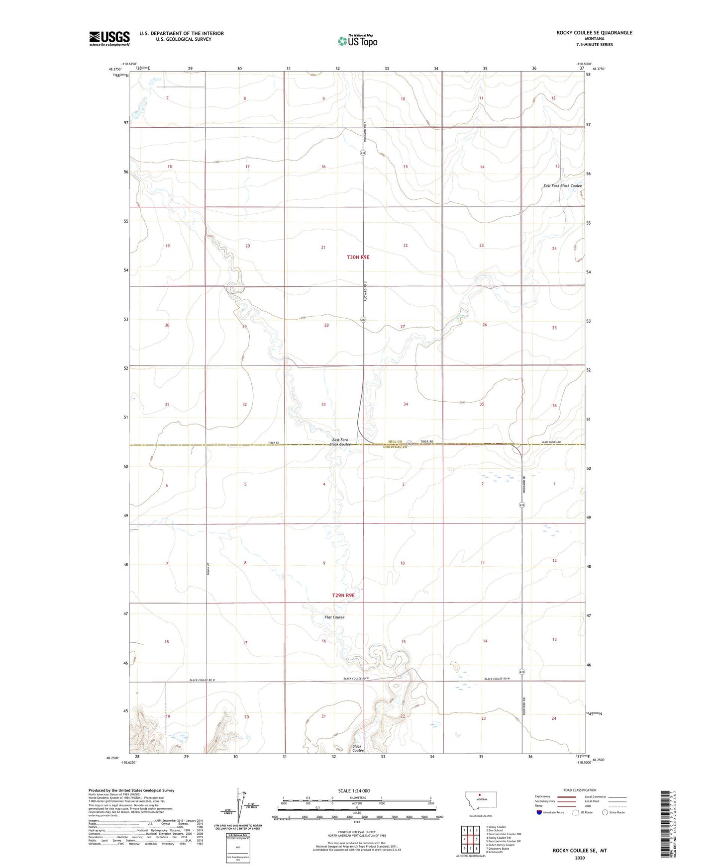
2024 topographic map quadrangle Rocky Coulee SE in the state of Montana. Scale: 1:24000. Based on the newly updated USGS 7.5' US Topo map series, this map is in the following counties: Hill, Chouteau. The map contains contour data, water features, and other items you are used to seeing on USGS maps, but also has updated roads and other features. This is the next generation of topographic maps. Printed on high-quality waterproof paper with UV fade-resistant inks.
Quads adjacent to this one:
West: Rocky Coulee SW
Northwest: Rocky Coulee
North: Een School
Northeast: Fourteenmile Coulee NW
East: Fourteenmile Coulee SW
Southeast: Kenilworth
South: Discovery Butte
Southwest: Dutch Henry Coulee
This map covers the same area as the classic USGS quad with code o48110c5.
Contains the following named places: 29N09E05AA__01 Well, 29N09E06AA__01 Well, 29N09E07BB__01 Well, 29N09E08CC__01 Well, 29N09E14AD__01 Well, 29N09E14ADDD01 Well, 29N09E17DA__01 Well, 29N09E18CB__01 Well, 29N09E18CB__02 Well, 29N09E24CB__01 Well, 30N09E13DC__01 Well, 30N09E23CD__01 Well, 30N09E25BA__01 Well, 30N09E25CC__01 Well, 30N09E26DD__01 Well, 30N09E27DA__01 Well, 30N09E29DD__01 Well, 30N09E32CB__01 Well, 30N09E34CD__01 Well, Black Cat Dam, Black Coulee Hall, East Fork Black Coulee, Flat Coulee