MyTopo
Saint Mary Peak Montana US Topo Map
Couldn't load pickup availability
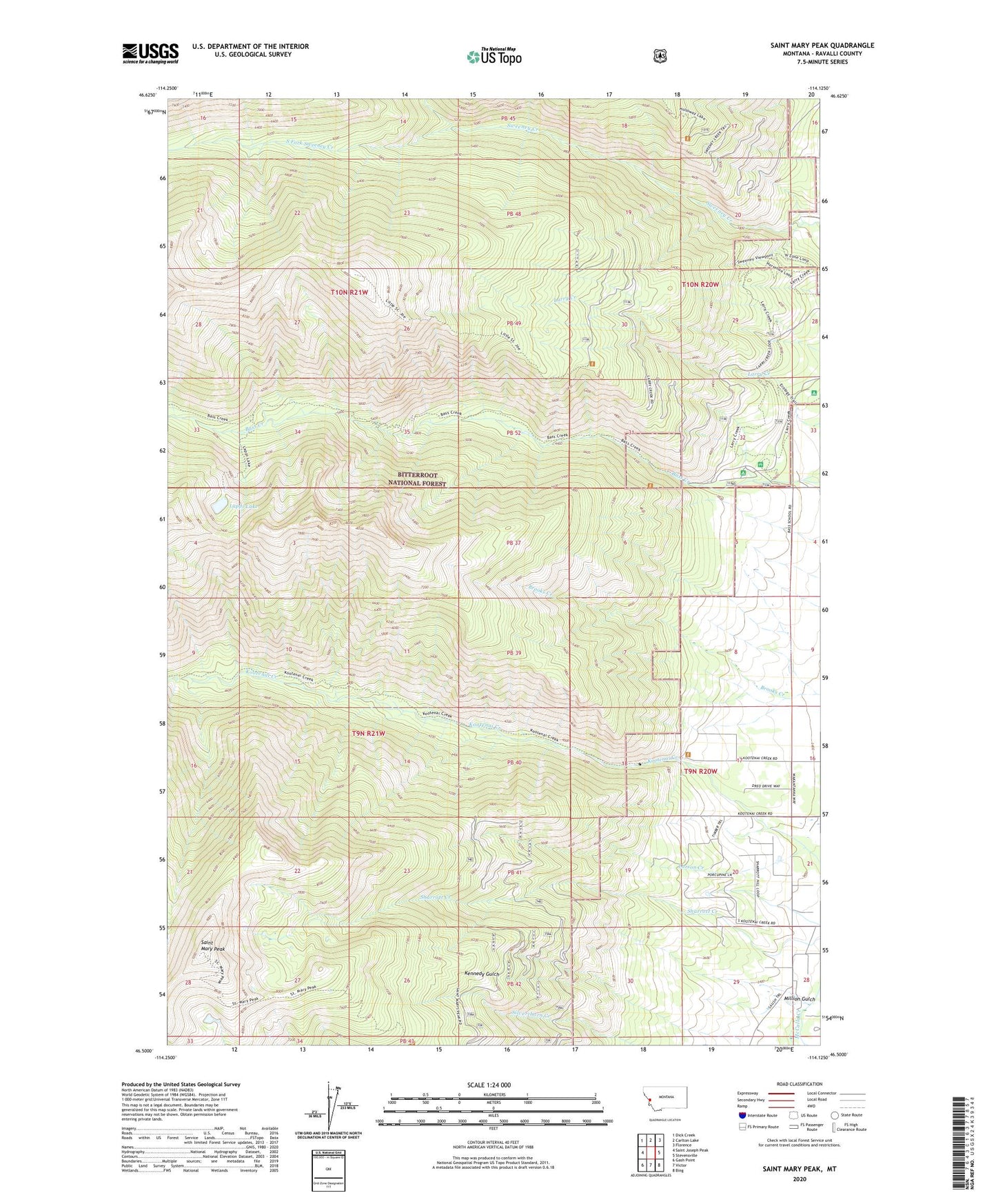
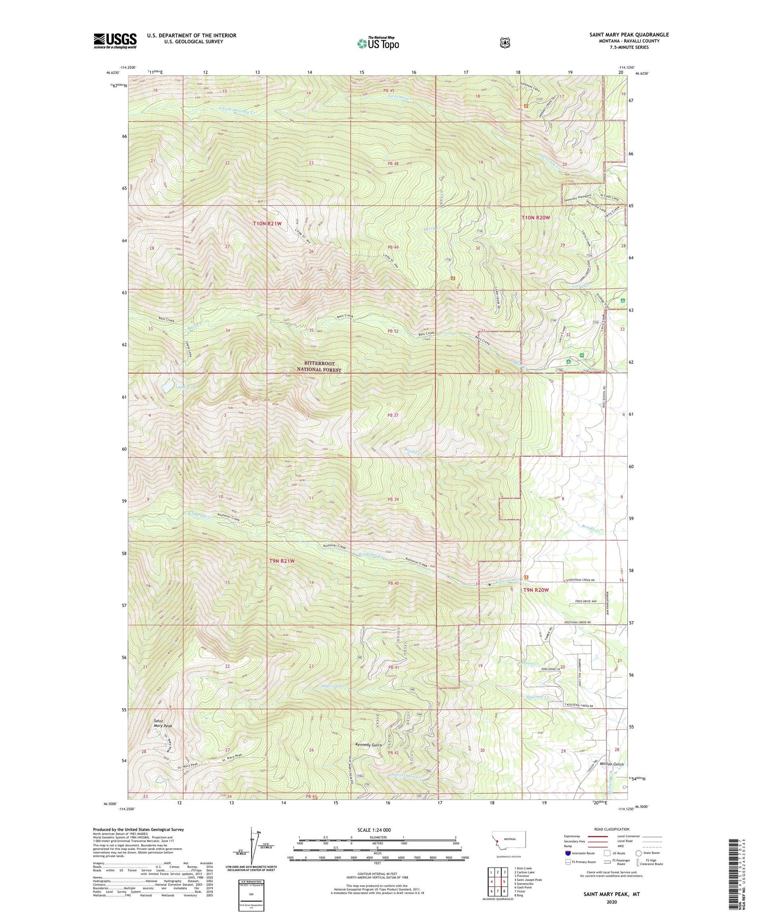
2020 topographic map quadrangle Saint Mary Peak in the state of Montana. Scale: 1:24000. Based on the newly updated USGS 7.5' US Topo map series, this map is in the following counties: Ravalli. The map contains contour data, water features, and other items you are used to seeing on USGS maps, but also has updated roads and other features. This is the next generation of topographic maps. Printed on high-quality waterproof paper with UV fade-resistant inks.
Quads adjacent to this one:
West: Saint Joseph Peak
Northwest: Dick Creek
North: Carlton Lake
Northeast: Florence
East: Stevensville
Southeast: Bing
South: Victor
Southwest: Gash Point
Contains the following named places: 09N20W20CDCD01 Well, Charles Waters Memorial Campground, Kennedy Gulch, Lappi Lake, Larry Creek Campground, Larson Creek, Million Gulch, North Fork Sweeney Creek, Saint Mary Peak, Saint Mary Peak Trail, South Fork Sweeney Creek