MyTopo
Sand Buttes Montana US Topo Map
Couldn't load pickup availability
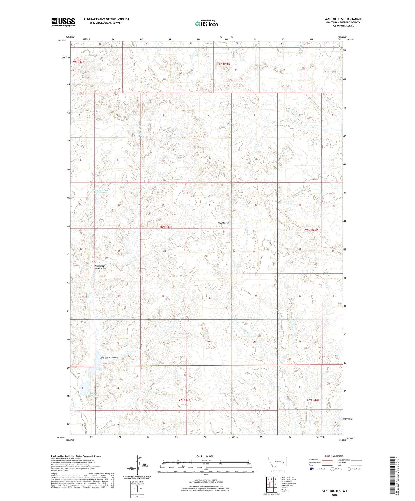
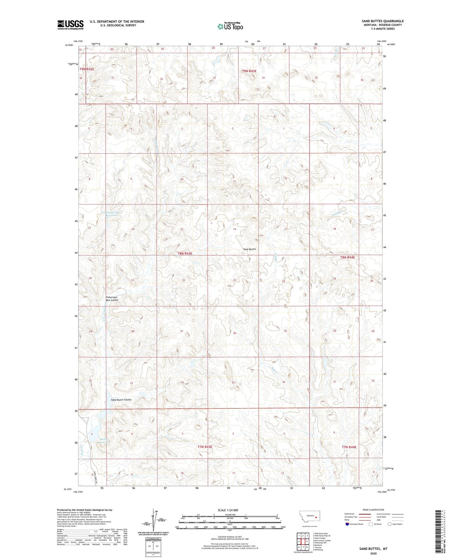
2020 topographic map quadrangle Sand Buttes in the state of Montana. Scale: 1:24000. Based on the newly updated USGS 7.5' US Topo map series, this map is in the following counties: Rosebud. The map contains contour data, water features, and other items you are used to seeing on USGS maps, but also has updated roads and other features. This is the next generation of topographic maps. Printed on high-quality waterproof paper with UV fade-resistant inks.
Quads adjacent to this one:
West: Box Canyon Coulee
Northwest: Wild Horse Pass
North: Wild Horse Pass SE
Northeast: Hobo Coulee
East: Hathaway NW
Southeast: Hathaway
South: Thurlow
Southwest: Rosebud
Contains the following named places: Barley Ranch, Barley Reservoir, Barley Reservoirs, Fisherman Dan Coulee, Fisherman Dan Reservoir, Hook Number 50 Dam, Hook Number 51 Dam, Hook Number 52 Dam, Hook Number 55 Dam, North Fork Sand Creek, Sand Butte Coulee, Sand Buttes, ZIP Code: 59347