MyTopo
Shirley Montana US Topo Map
Couldn't load pickup availability
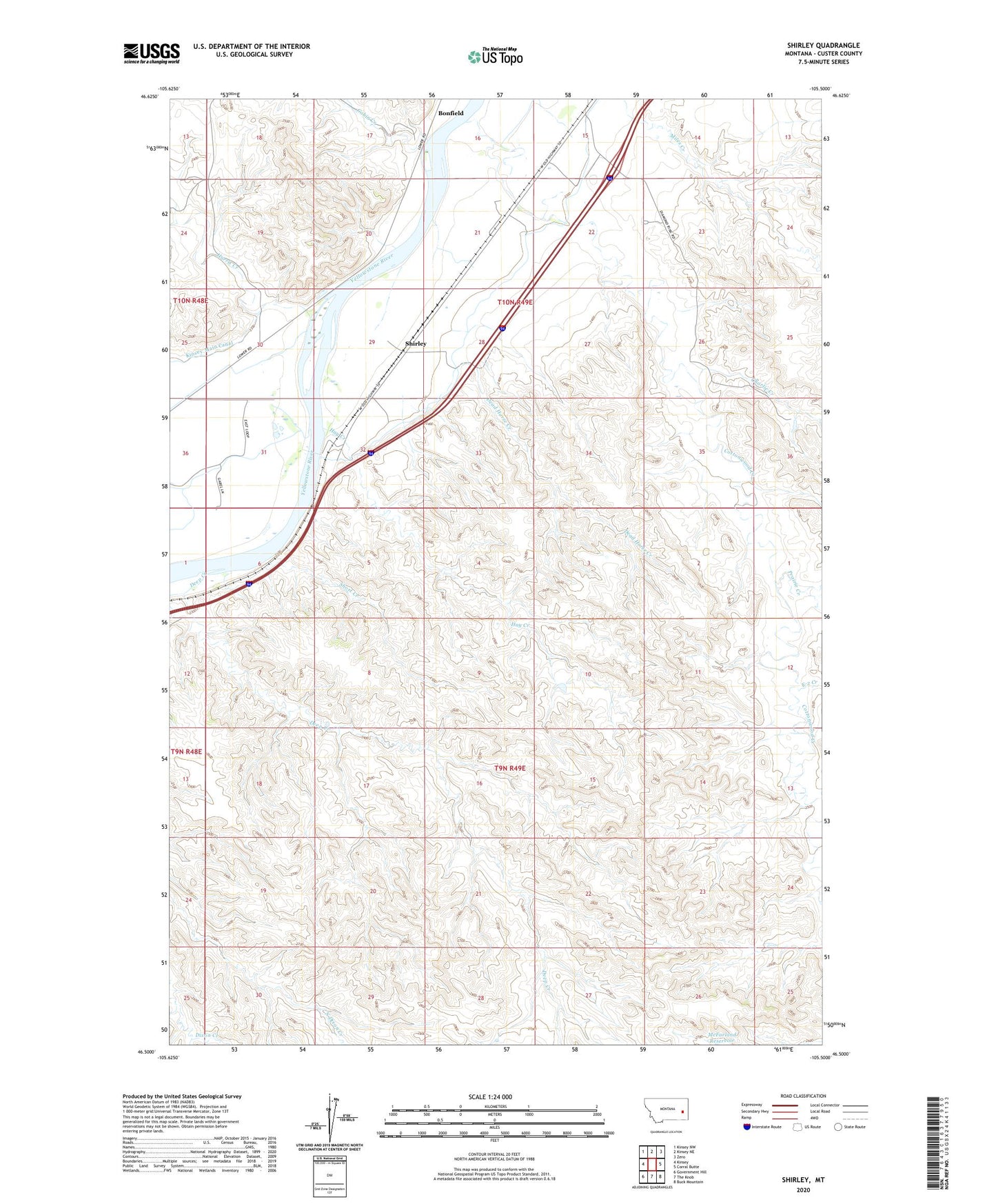
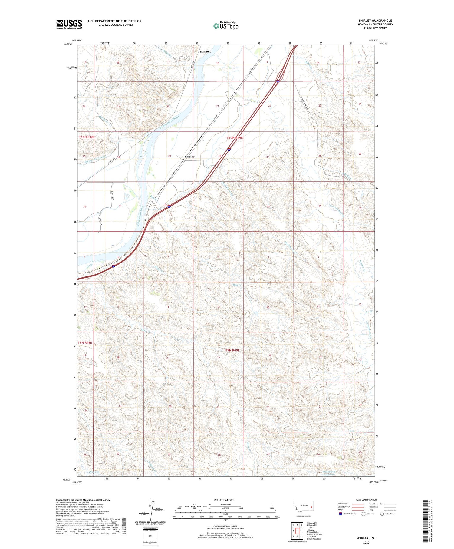
2020 topographic map quadrangle Shirley in the state of Montana. Scale: 1:24000. Based on the newly updated USGS 7.5' US Topo map series, this map is in the following counties: Custer. The map contains contour data, water features, and other items you are used to seeing on USGS maps, but also has updated roads and other features. This is the next generation of topographic maps. Printed on high-quality waterproof paper with UV fade-resistant inks.
Quads adjacent to this one:
West: Kinsey
Northwest: Kinsey NW
North: Kinsey NE
Northeast: Zero
East: Corral Butte
Southeast: Buck Mountain
South: The Knob
Southwest: Government Hill
Contains the following named places: 09N49E05CBC_01 Well, 09N49E06BBBA01 Well, 09N49E07DDBC01 Well, 09N49E13BDAA01 Well, 10N48E24ACAC01 Well, 10N48E36DAAD01 Well, 10N49E14DDDD01 Well, 10N49E17DBDA01 Well, 10N49E30ABCD01 Well, 10N49E30DBBC01 Well, 10N49E31BAAA01 Well, 10N49E31BBBB01 Well, 10N49E31CCAC01 Well, 10N49E33ADD_01 Well, 10N49E35DACD01 Well, Ainslie Post Office, Cabin Creek, Charlie Creek, Cottonwood Creek, Dead Horse Creek, Deep Creek, E-2 Creek, Harris Creek, Hay Creek, Kinsey Main Canal, Miles Creek, Prairie Creek, Shirley, Shirley Post Office, Shirley School, Short Creek