
MyTopo
South Bench Montana US Topo Map
Couldn't load pickup availability
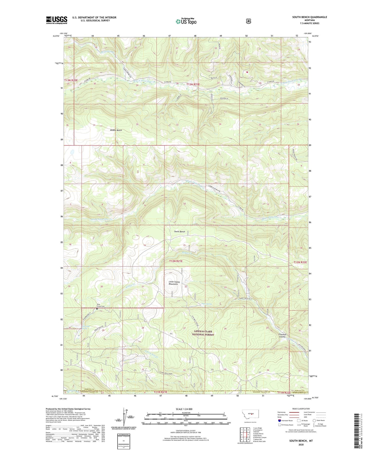
2020 topographic map quadrangle South Bench in the state of Montana. Scale: 1:24000. Based on the newly updated USGS 7.5' US Topo map series, this map is in the following counties: Fergus, Golden Valley, Musselshell. The map contains contour data, water features, and other items you are used to seeing on USGS maps, but also has updated roads and other features. This is the next generation of topographic maps. Printed on high-quality waterproof paper with UV fade-resistant inks.
Quads adjacent to this one:
West: Alaska Bench
Northwest: Loco Ridge
North: Forestgrove
Northeast: Becket
East: Bald Butte
Southeast: Devils Hole Lake
South: Sahara Hill
Southwest: Patterson Canyon
Contains the following named places: Ashbridge Spring, Fivemile Coulee, Geary School, McCartney Creek, Middle Bench Pine Grove School, North Fork and Flatwillow Rural Fire District, Pine Grove Cemetery, Pine Grove School, Pinegrove Post Office, Posey Spring, South Bench


