MyTopo
Van Dusen Spring Montana US Topo Map
Couldn't load pickup availability
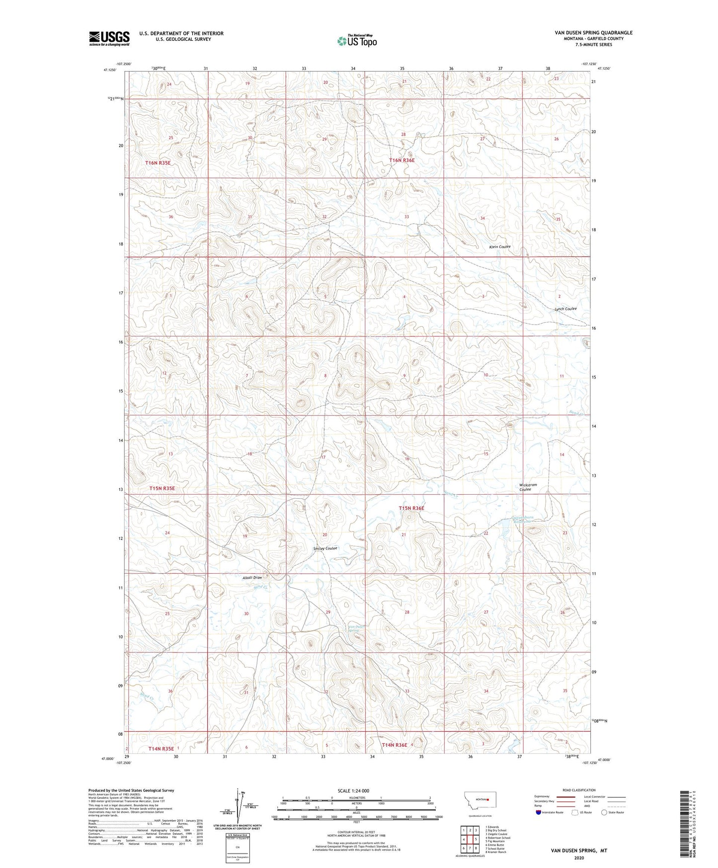
2020 topographic map quadrangle Van Dusen Spring in the state of Montana. Scale: 1:24000. Based on the newly updated USGS 7.5' US Topo map series, this map is in the following counties: Garfield. The map contains contour data, water features, and other items you are used to seeing on USGS maps, but also has updated roads and other features. This is the next generation of topographic maps. Printed on high-quality waterproof paper with UV fade-resistant inks.
Quads adjacent to this one:
West: Robertson School
Northwest: Edwards
North: Big Dry School
Northeast: Ziegele Coulee
East: Fig Mountain
Southeast: Kramer Ranch
South: School Butte
Southwest: Emma Butte
Contains the following named places: 16N36E28CA__01 Well, Alkali Draw, GA Kramer Number 1 Dam, Garfield Post Office, Guesanborn Dam, Guesanborn Reservoir, Klein Coulee, Lynch Coulee, Michel Guesenburu Dam, Michel Number 1 Dam, Smiley Coulee, Van Dusen Spring, Wickstrom Coulee