MyTopo
Ziegele Coulee Montana US Topo Map
Couldn't load pickup availability
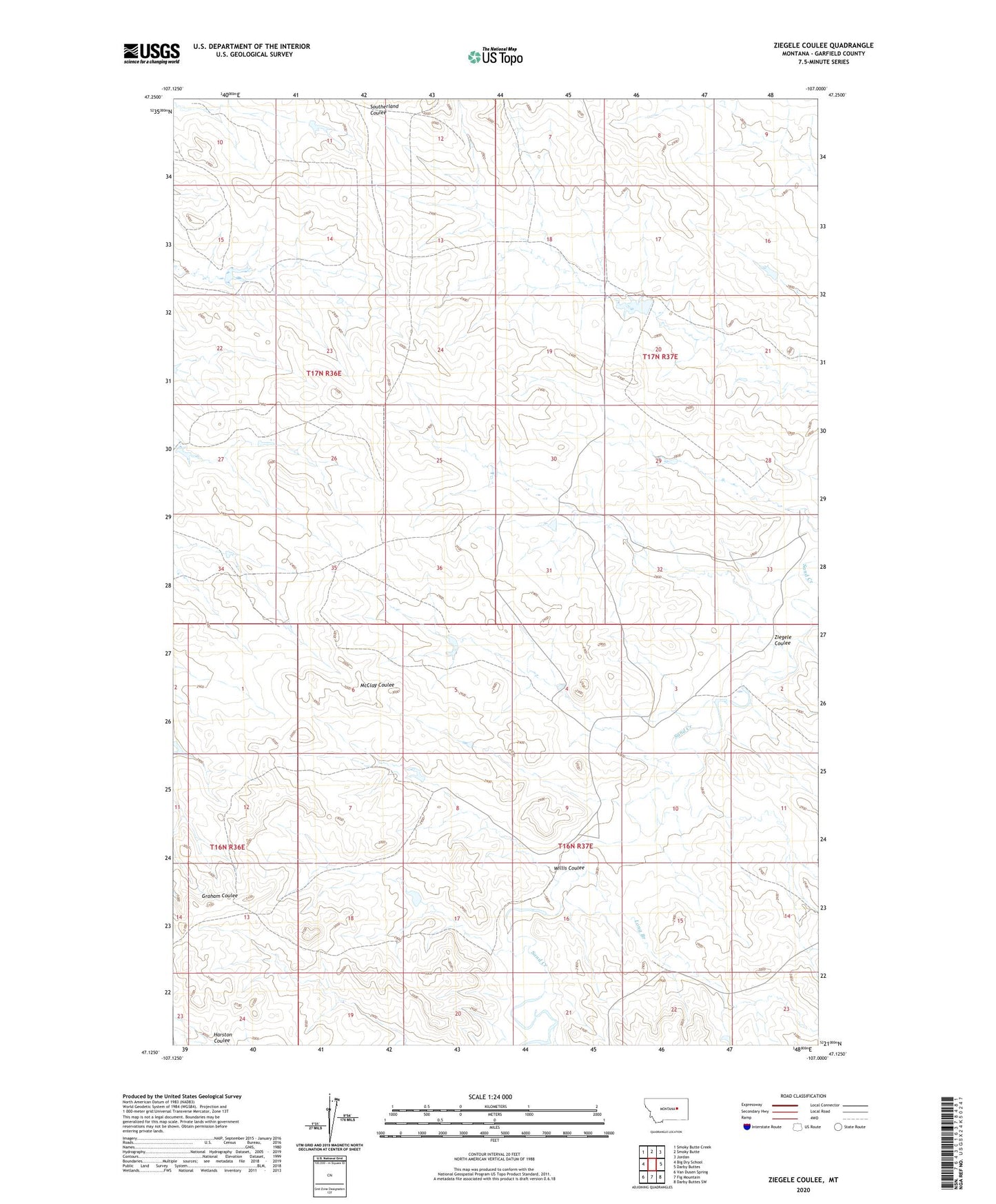
2024 topographic map quadrangle Ziegele Coulee in the state of Montana. Scale: 1:24000. Based on the newly updated USGS 7.5' US Topo map series, this map is in the following counties: Garfield. The map contains contour data, water features, and other items you are used to seeing on USGS maps, but also has updated roads and other features. This is the next generation of topographic maps. Printed on high-quality waterproof paper with UV fade-resistant inks.
Quads adjacent to this one:
West: Big Dry School
Northwest: Smoky Butte Creek
North: Smoky Butte
Northeast: Jordan
East: Darby Buttes
Southeast: Darby Buttes SW
South: Fig Mountain
Southwest: Van Dusen Spring
This map covers the same area as the classic USGS quad with code o47107b1.
Contains the following named places: Big Railroad Reservoir Dam, Gliblet Dam, Long Branch, Southerland Lacosta Dam, Tom Number 2 Dam, Weeding Number 3 Dam, Willis Coulee, Ziegele Coulee