
MyTopo
Waco Montana US Topo Map
Couldn't load pickup availability
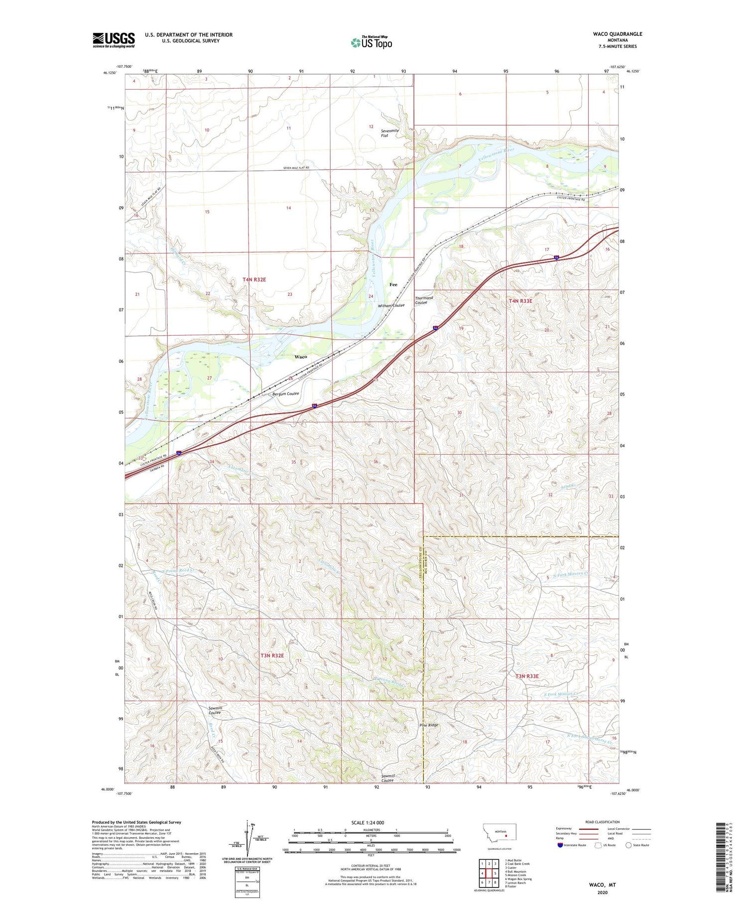
2020 topographic map quadrangle Waco in the state of Montana. Scale: 1:24000. Based on the newly updated USGS 7.5' US Topo map series, this map is in the following counties: Yellowstone, Big Horn. The map contains contour data, water features, and other items you are used to seeing on USGS maps, but also has updated roads and other features. This is the next generation of topographic maps. Printed on high-quality waterproof paper with UV fade-resistant inks.
Quads adjacent to this one:
West: Bull Mountain
Northwest: Mud Butte
North: Coal Bank Creek
Northeast: Custer
East: Mission Creek
Southeast: Foster
South: Lemon Ranch
Southwest: Wagon Box Spring
Contains the following named places: 03N33E06AA__01 Well, 04N32E14CCBA01 Well, 04N32E26A___01 Well, 04N32E35BABA01 Well, 04N33E18DCAC01 Well, Automatic Creek, Bergum Coulee, Captain Clark Fishing Access Site, East Prong Reed Creek, Fee, Hibbard Creek, Kemph Ranch, Montana Industrial School, Sawmill Coulee, Sevenmile Flat, Thurmond Coulee, Waco, Waco Custer Canal, Witham Coulee


