MyTopo
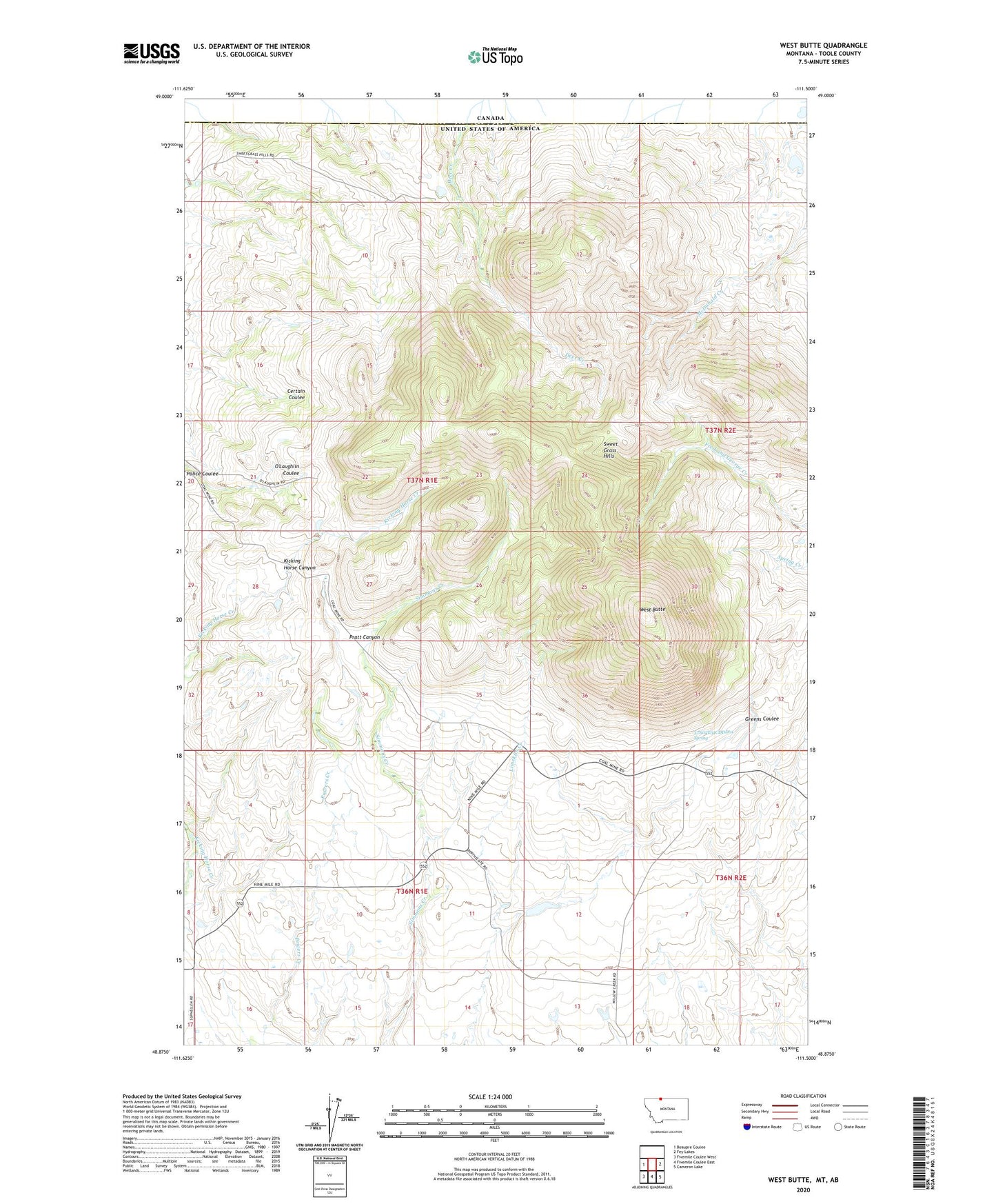
West Butte Montana US Topo Map
Couldn't load pickup availability
2024 topographic map quadrangle West Butte in the state of Montana. Scale: 1:24000. Based on the newly updated USGS 7.5' US Topo map series, this map is in the following counties: Toole. The map contains contour data, water features, and other items you are used to seeing on USGS maps, but also has updated roads and other features. This is the next generation of topographic maps. Printed on high-quality waterproof paper with UV fade-resistant inks.
Quads adjacent to this one:
West: Beaupre Coulee
East: Fey Lakes
Southeast: Cameron Lake
South: Fivemile Coulee East
Southwest: Fivemile Coulee West
This map covers the same area as the classic USGS quad with code o48111h5.
Contains the following named places: 37N02E31CDDD01 Spring, Berthelote Dam, Deer Creek, Deer Creek Mine, El Pina Mine, Kicking Horse Canyon, Limekiln Creek, McDermott, McDermott Mine, McDermott Post Office, Monroe Mine, O'Loughlin Ranch, Pratt Canyon, Quarter Circle ZN Ranch, Roscoe Ranch, West Butte, West Butte Ranch