MyTopo
Whitewater West Montana US Topo Map
Couldn't load pickup availability
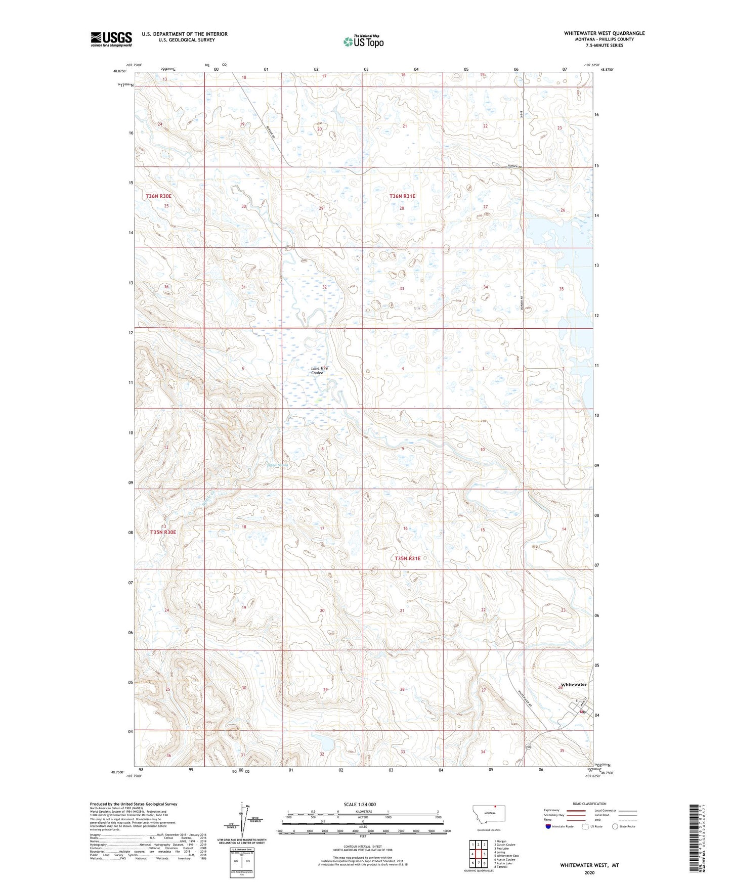
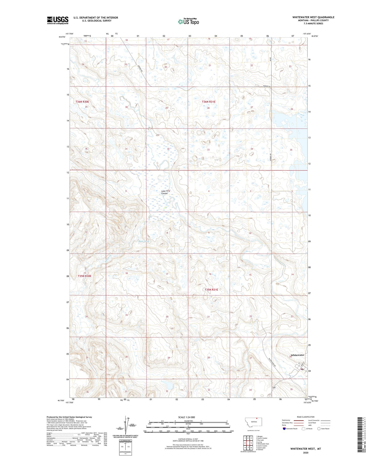
2020 topographic map quadrangle Whitewater West in the state of Montana. Scale: 1:24000. Based on the newly updated USGS 7.5' US Topo map series, this map is in the following counties: Phillips. The map contains contour data, water features, and other items you are used to seeing on USGS maps, but also has updated roads and other features. This is the next generation of topographic maps. Printed on high-quality waterproof paper with UV fade-resistant inks.
Quads adjacent to this one:
West: Loring
Northwest: Morgan
North: Gustin Coulee
Northeast: Pea Lake
East: Whitewater East
Southeast: Tattnall
South: Austin Lake
Southwest: Austin Coulee
Contains the following named places: 35N31E26D___01 Well, Austin Number 2 Dam, Dibble Creek, Dibble Spring, Lone Tree Coulee, Ordean, Phillips County Volunteer Fire Company - Whitewater Station, Saint Johns Catholic Church, Whitewater, Whitewater Census Designated Place, Whitewater Division, Whitewater Lutheran Church, Whitewater Post Office, Whitewater Public Schools, Ynot, Ynot Post Office