MyTopo
Willshaw Flats Montana US Topo Map
Couldn't load pickup availability
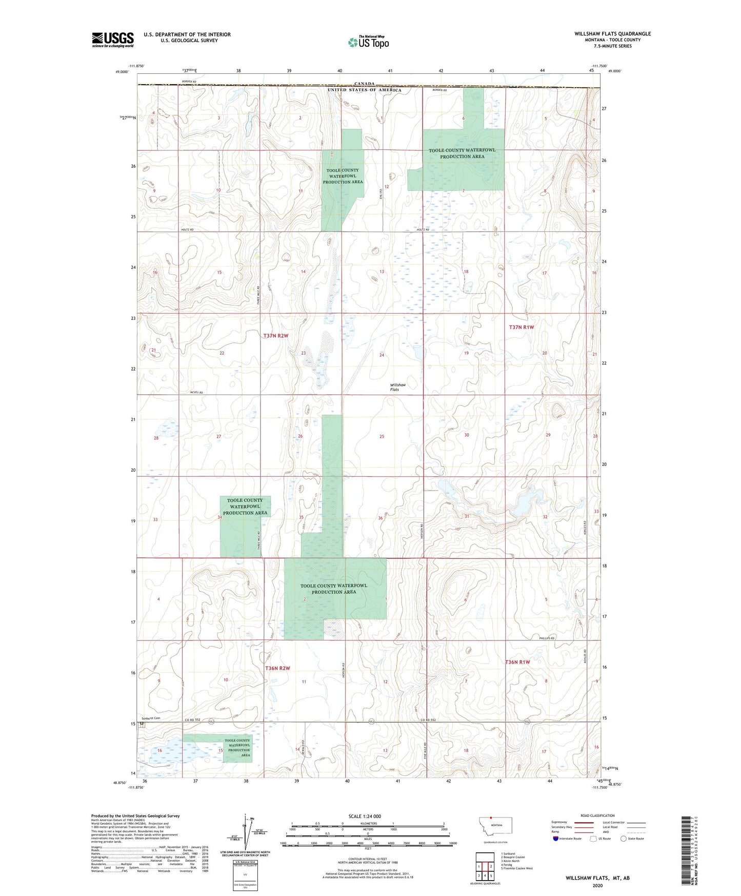
2024 topographic map quadrangle Willshaw Flats in the state of Montana. Scale: 1:24000. Based on the newly updated USGS 7.5' US Topo map series, this map is in the following counties: Toole. The map contains contour data, water features, and other items you are used to seeing on USGS maps, but also has updated roads and other features. This is the next generation of topographic maps. Printed on high-quality waterproof paper with UV fade-resistant inks.
Quads adjacent to this one:
West: Sunburst
East: Beaupre Coulee
Southeast: Fivemile Coulee West
South: Ferdig
Southwest: Kevin North
This map covers the same area as the classic USGS quad with code o48111h7.
Contains the following named places: Beaupre Coulee, Fender Bender Dam, Sunburst Cemetery, Willshaw Flats, Willshaw School