MyTopo
Winifred East Montana US Topo Map
Couldn't load pickup availability
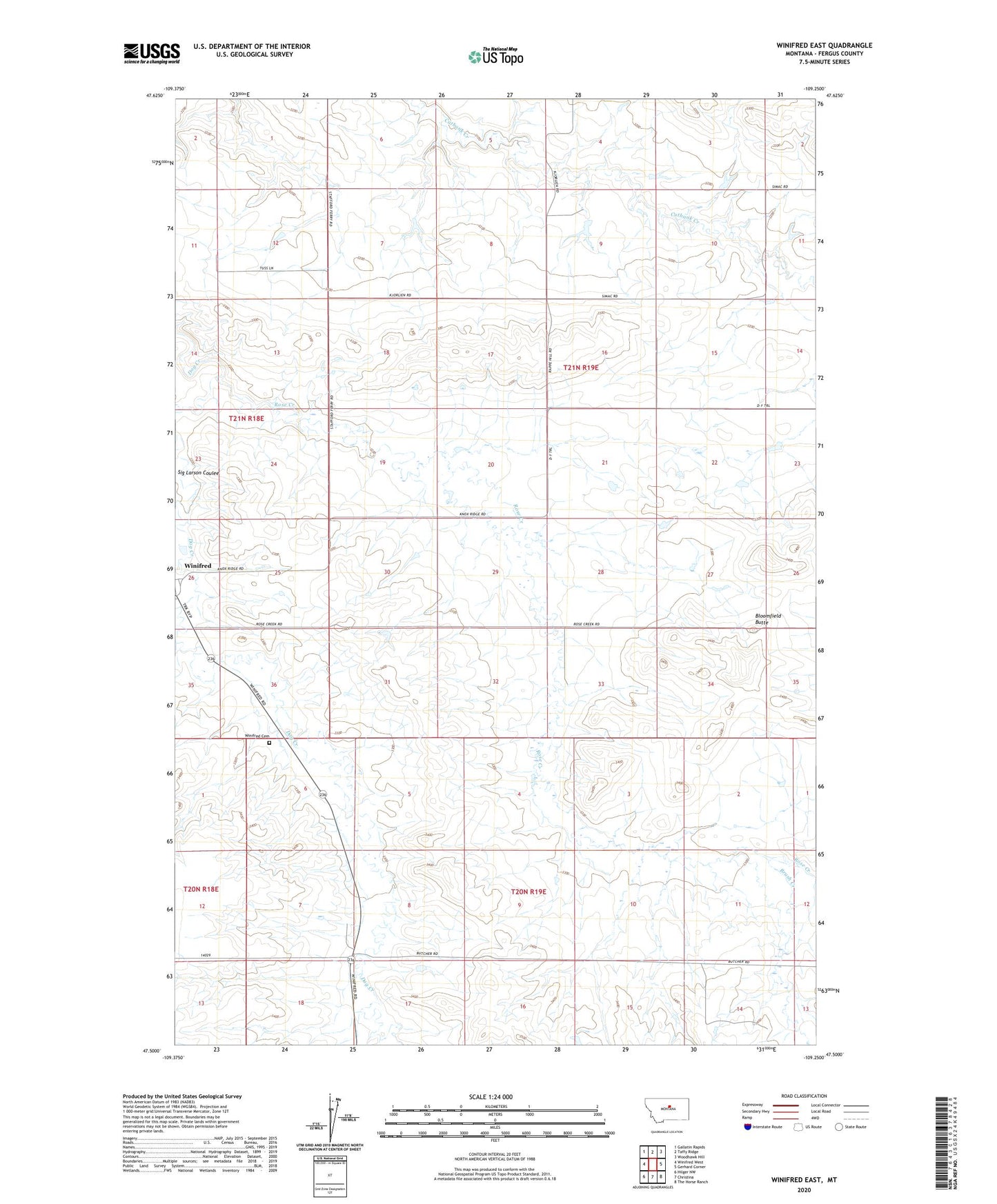
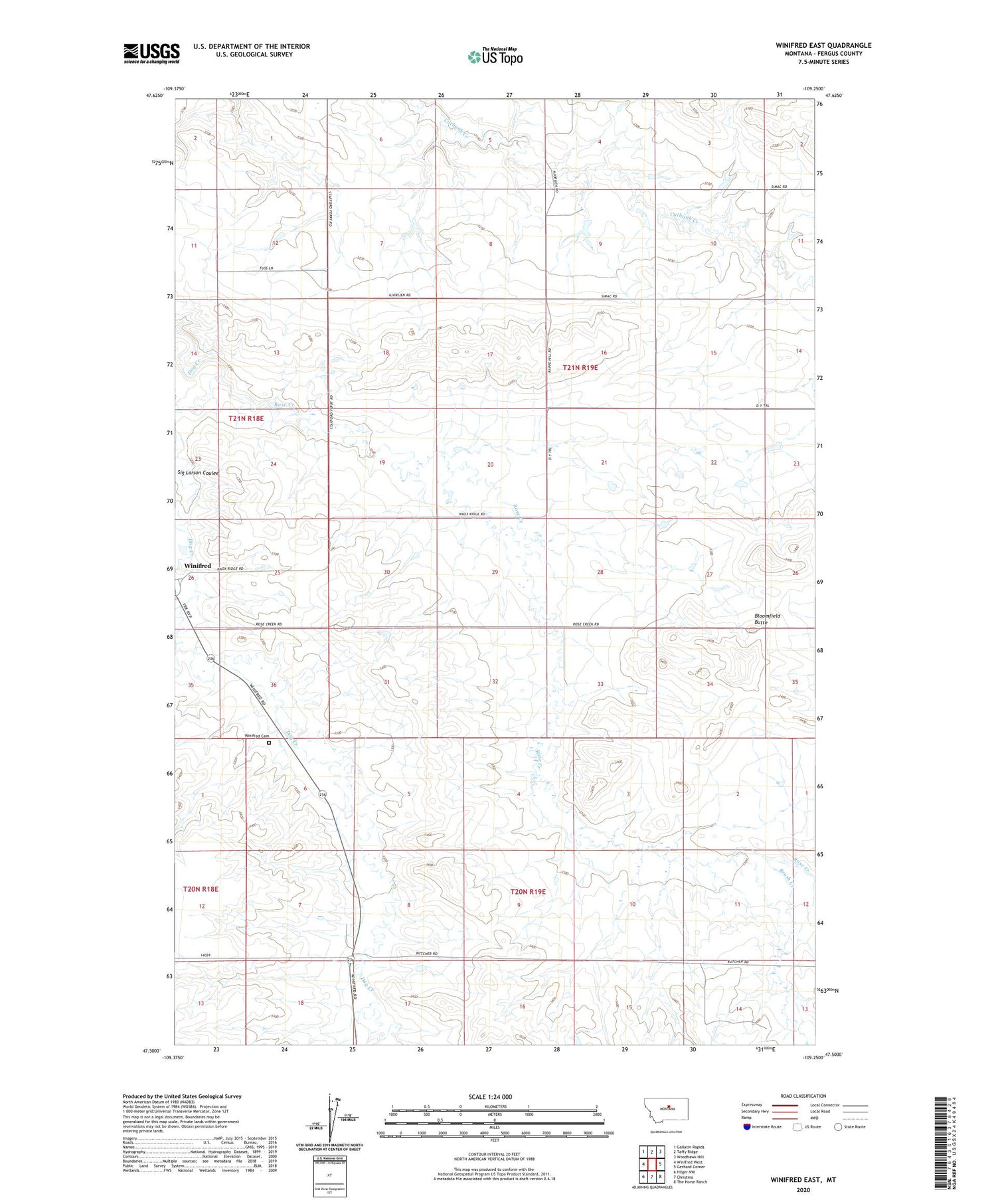
2020 topographic map quadrangle Winifred East in the state of Montana. Scale: 1:24000. Based on the newly updated USGS 7.5' US Topo map series, this map is in the following counties: Fergus. The map contains contour data, water features, and other items you are used to seeing on USGS maps, but also has updated roads and other features. This is the next generation of topographic maps. Printed on high-quality waterproof paper with UV fade-resistant inks.
Quads adjacent to this one:
West: Winifred West
Northwest: Gallatin Rapids
North: Taffy Ridge
Northeast: Woodhawk Hill
East: Gerhard Corner
Southeast: The Horse Ranch
South: Christina
Southwest: Hilger NW
Contains the following named places: 21N18E25BACD01 Well, Albert Number 2 Dam, Albery Number 1 Dam, Bloomfield Butte, Brunton Dam, Brush Creek, Hoover School, Jo Dam, Robert Bold Number 3 Dam, Rose Creek, Rose Creek School, Sherrard School, Wilson School, Winifred, Winifred Cemetery