MyTopo
Woodhawk Hill Montana US Topo Map
Couldn't load pickup availability
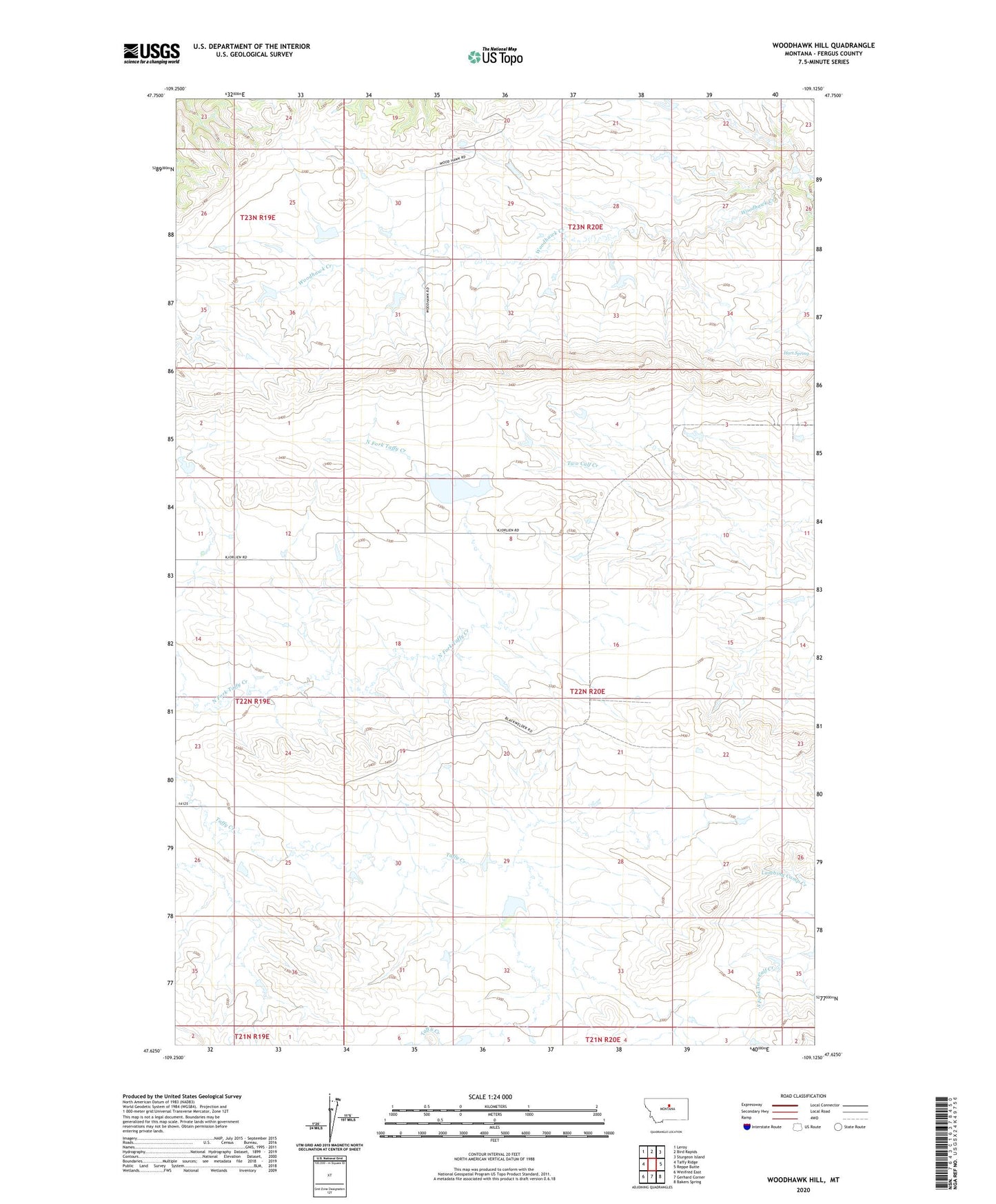
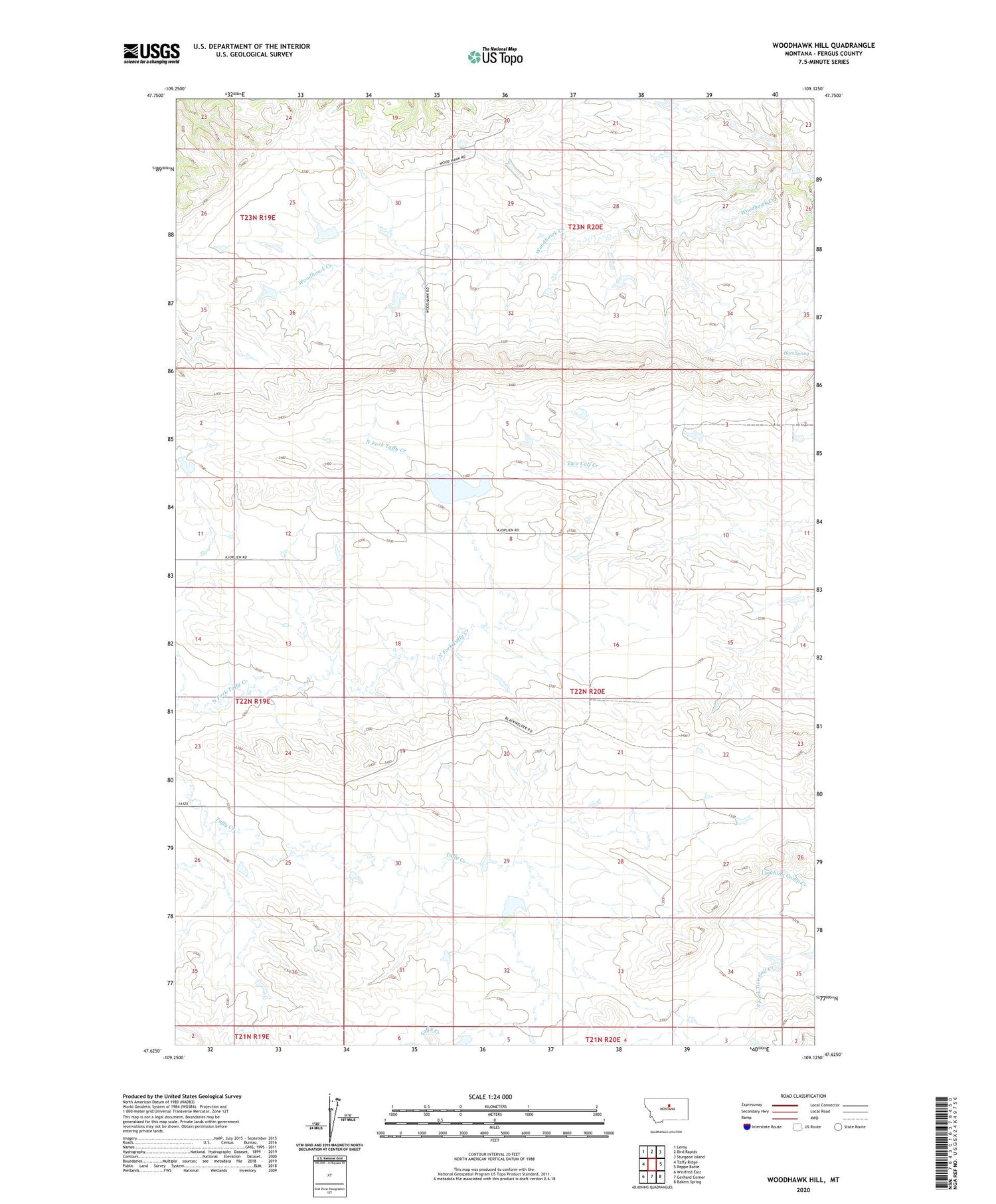
2020 topographic map quadrangle Woodhawk Hill in the state of Montana. Scale: 1:24000. Based on the newly updated USGS 7.5' US Topo map series, this map is in the following counties: Fergus. The map contains contour data, water features, and other items you are used to seeing on USGS maps, but also has updated roads and other features. This is the next generation of topographic maps. Printed on high-quality waterproof paper with UV fade-resistant inks.
Quads adjacent to this one:
West: Taffy Ridge
Northwest: Leroy
North: Bird Rapids
Northeast: Sturgeon Island
East: Reppe Butte
Southeast: Bakers Spring
South: Gerhard Corner
Southwest: Winifred East
Contains the following named places: 21N21E19BCAC01 Well, 22N20E22BBBB01 Well, 22N20E22CABD01 Well, Farr View School, Ford Irrigation Dam, Hart Spring, Kermits Dam, Number Four School, Othar Number 2 Dam, White Horse Butte, Winifred Division, Wood Hawk School, Woodhawk, Woodhawk Hill