MyTopo
Zero NE Montana US Topo Map
Couldn't load pickup availability
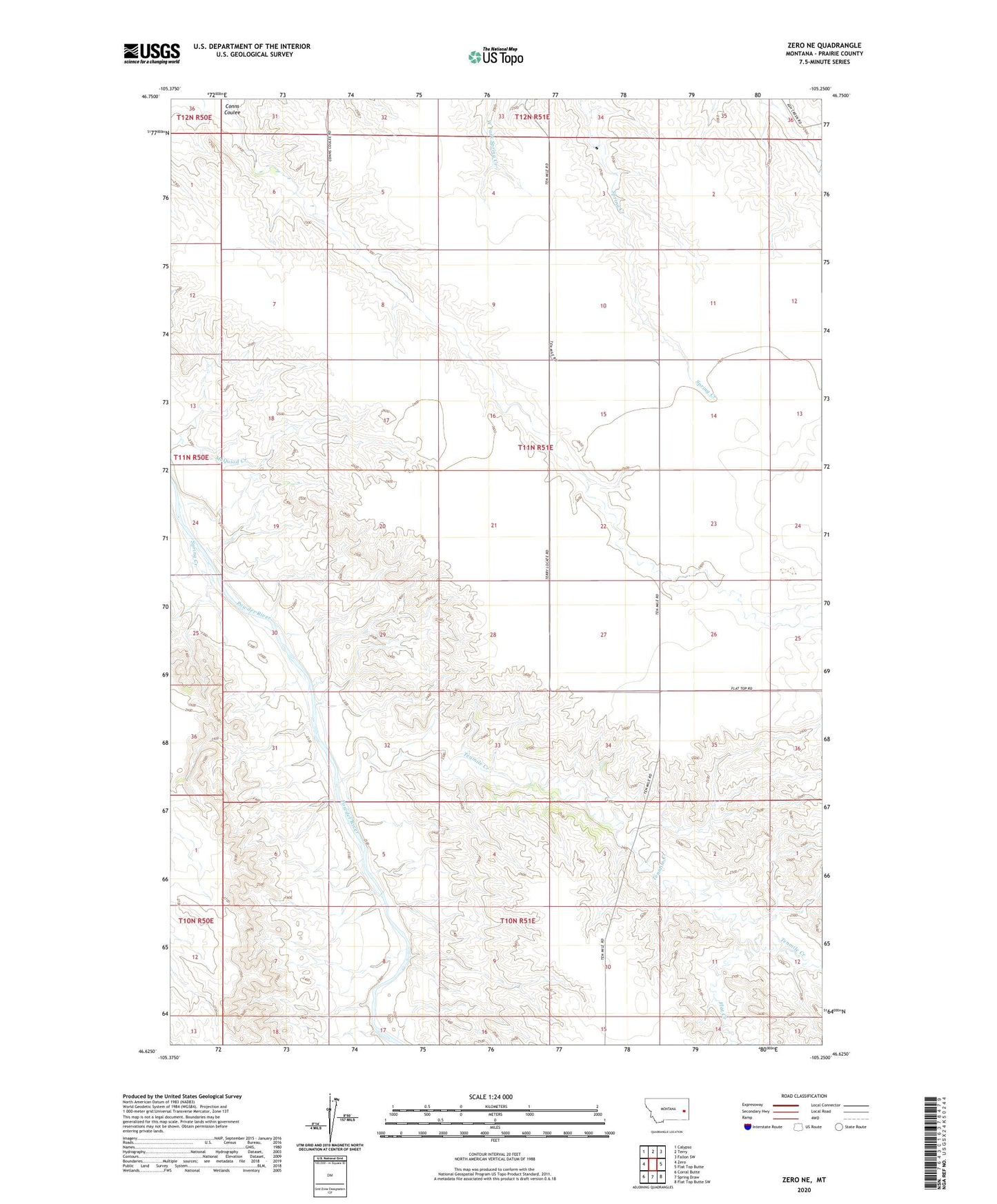
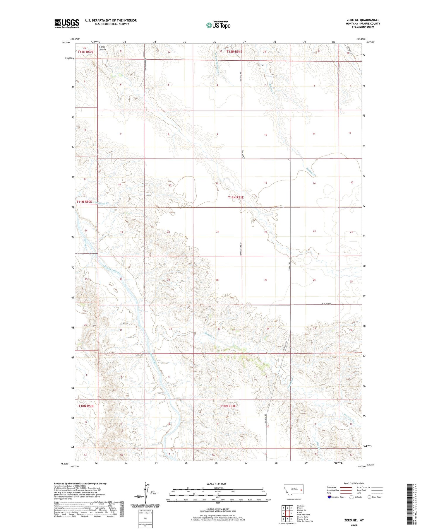
2020 topographic map quadrangle Zero NE in the state of Montana. Scale: 1:24000. Based on the newly updated USGS 7.5' US Topo map series, this map is in the following counties: Prairie. The map contains contour data, water features, and other items you are used to seeing on USGS maps, but also has updated roads and other features. This is the next generation of topographic maps. Printed on high-quality waterproof paper with UV fade-resistant inks.
Quads adjacent to this one:
West: Zero
Northwest: Calypso
North: Terry
Northeast: Fallon SW
East: Flat Top Butte
Southeast: Flat Top Butte SW
South: Spring Draw
Southwest: Corral Butte
Contains the following named places: 10N51E11ADAA01 Well, 11N51E08AB__01 Well, 11N51E21CDDD01 Well, Flat Creek, Pleasant View School, Spring Creek, Tenmile Creek