MyTopo
Almeria Nebraska US Topo Map
Couldn't load pickup availability
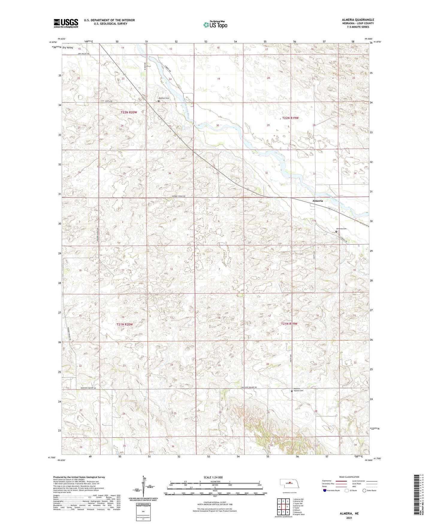
2021 topographic map quadrangle Almeria in the state of Nebraska. Scale: 1:24000. Based on the newly updated USGS 7.5' US Topo map series, this map is in the following counties: Loup. The map contains contour data, water features, and other items you are used to seeing on USGS maps, but also has updated roads and other features. This is the next generation of topographic maps. Printed on high-quality waterproof paper with UV fade-resistant inks.
Quads adjacent to this one:
West: Almeria SW
Northwest: Almeria NW
North: Almeria NE
Northeast: Taylor NW
East: Taylor
Southeast: Sargent West
South: Walworth
Southwest: Milburn
This map covers the same area as the classic USGS quad with code o41099g5.
Contains the following named places: Almeria, Almeria Cemetery, Almeria Post Office, Knobby Ridge School, Liberty School, Madison Square Cemetery, Madison Square Election Precinct, Madison Square School, Moulton Cemetery, Moulton Post Office, School Number 26, Taylor Election Precinct, Township of Madison Square, Township of Strohl