MyTopo
Arcadia SE Nebraska US Topo Map
Couldn't load pickup availability
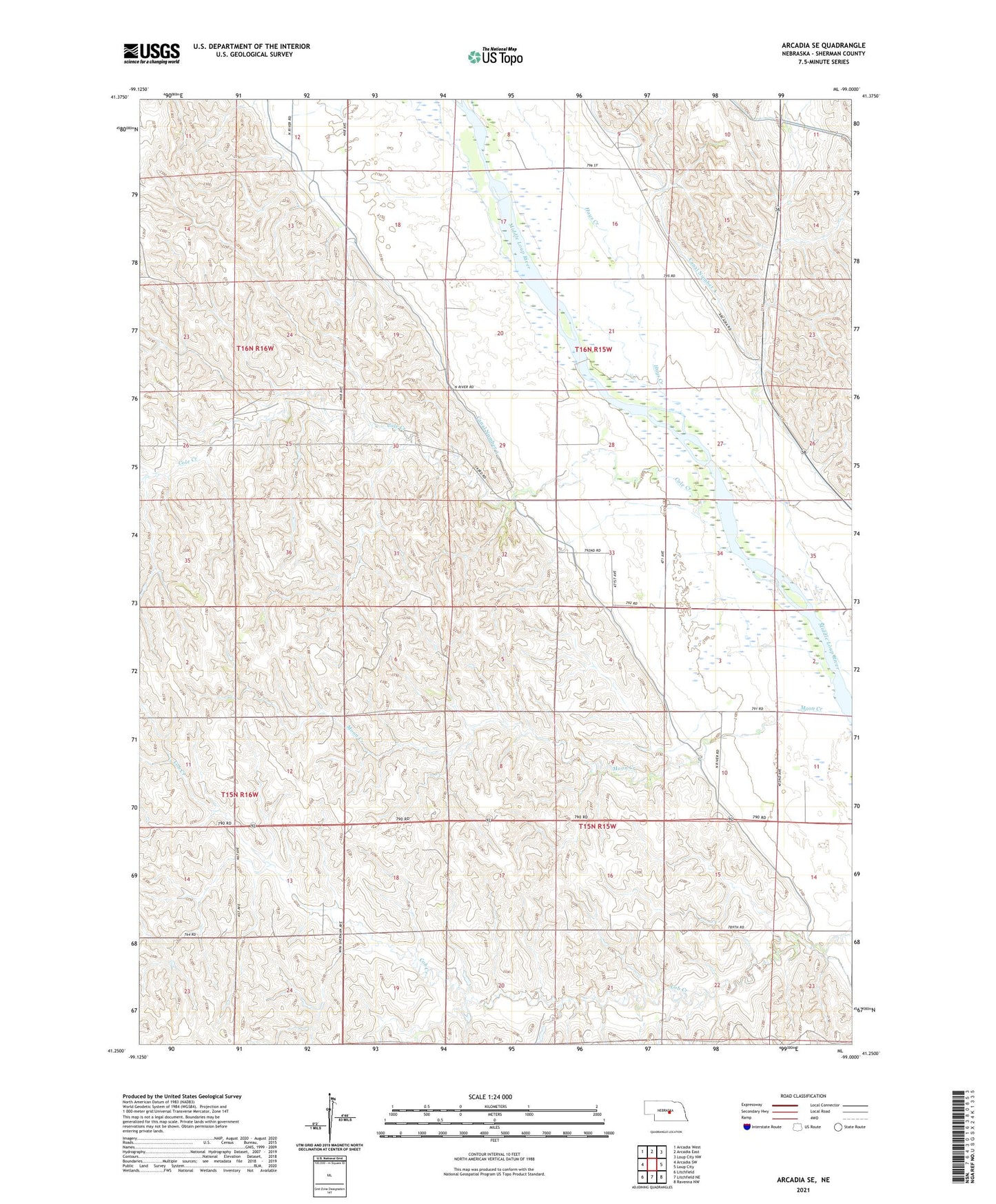
2021 topographic map quadrangle Arcadia SE in the state of Nebraska. Scale: 1:24000. Based on the newly updated USGS 7.5' US Topo map series, this map is in the following counties: Sherman. The map contains contour data, water features, and other items you are used to seeing on USGS maps, but also has updated roads and other features. This is the next generation of topographic maps. Printed on high-quality waterproof paper with UV fade-resistant inks.
Quads adjacent to this one:
West: Arcadia SW
Northwest: Arcadia West
North: Arcadia East
Northeast: Loup City NW
East: Loup City
Southeast: Ravenna NW
South: Litchfield NE
Southwest: Litchfield
Contains the following named places: Bristow School, Canal Number 3, Canal Number 4, Central Loup City Election Precinct, Cob Creek School, Cole Creek, Hays Creek, McAlpine, Mixed Grove School, Moon Creek, Moon Creek School, School Number 59, Sunny Hollow School, Sunny Slope School, Township of Washington, Township of Webster, Tracey School, Turkey Roost School