MyTopo
Aurora East Nebraska US Topo Map
Couldn't load pickup availability
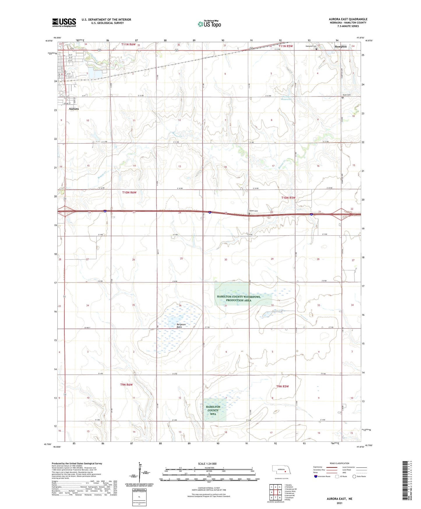
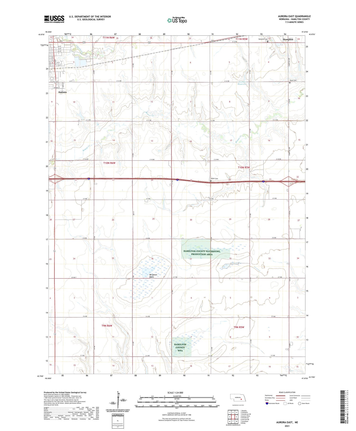
2021 topographic map quadrangle Aurora East in the state of Nebraska. Scale: 1:24000. Based on the newly updated USGS 7.5' US Topo map series, this map is in the following counties: Hamilton. The map contains contour data, water features, and other items you are used to seeing on USGS maps, but also has updated roads and other features. This is the next generation of topographic maps. Printed on high-quality waterproof paper with UV fade-resistant inks.
Quads adjacent to this one:
West: Aurora West
Northwest: Murphy
North: Hampton
Northeast: Henderson NE
East: Henderson
Southeast: Bixby
South: Stockham
Southwest: Harvard NE
Contains the following named places: Alice M Farr Library, Aurora Country Club, Bergeson Basin, Edgerton Educational Center, Election Precinct 3, First Evangelical Lutheran Church, Hampton Cemetery, Nelson Federal Waterfowl Production Area, Peetzke Dam, Peetzke Reservoir, Pintail State Wildlife Management Area, Plainsman Museum, Salem Cemetery, Sallans Chiropractic Clinic, Stone School, Township of Aurora, Township of Beaver, Troester Federal Waterfowl Production Area, Youst Cemetery