MyTopo
Battle Creek SW Nebraska US Topo Map
Couldn't load pickup availability
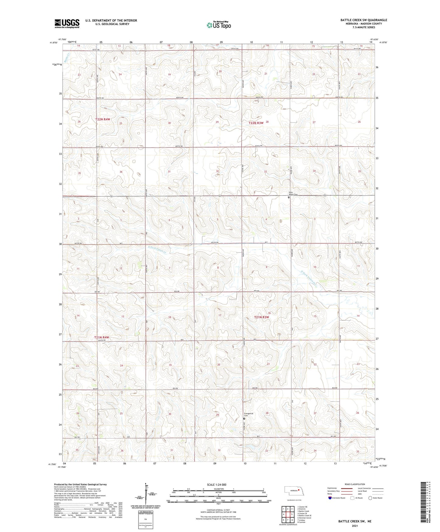
2021 topographic map quadrangle Battle Creek SW in the state of Nebraska. Scale: 1:24000. Based on the newly updated USGS 7.5' US Topo map series, this map is in the following counties: Madison. The map contains contour data, water features, and other items you are used to seeing on USGS maps, but also has updated roads and other features. This is the next generation of topographic maps. Printed on high-quality waterproof paper with UV fade-resistant inks.
Quads adjacent to this one:
West: Closter SE
Northwest: Closter NE
North: Emerick
Northeast: Battle Creek
East: Battle Creek SE
Southeast: Cornlea
South: Lindsay
Southwest: Newman Grove
Contains the following named places: Chloe School, Evangelical Cemetery, Iowa Valley Cemetery, Iowa Valley School, Jenkins School, Kalamazoo, Kalamazoo Election Precinct, Kalamazoo Public School, Olson School, Saint Francis de Sales Church, School Number 28, Schoolcraft Election Precinct, Solso School, Upland School