MyTopo
Brunswick Nebraska US Topo Map
Couldn't load pickup availability
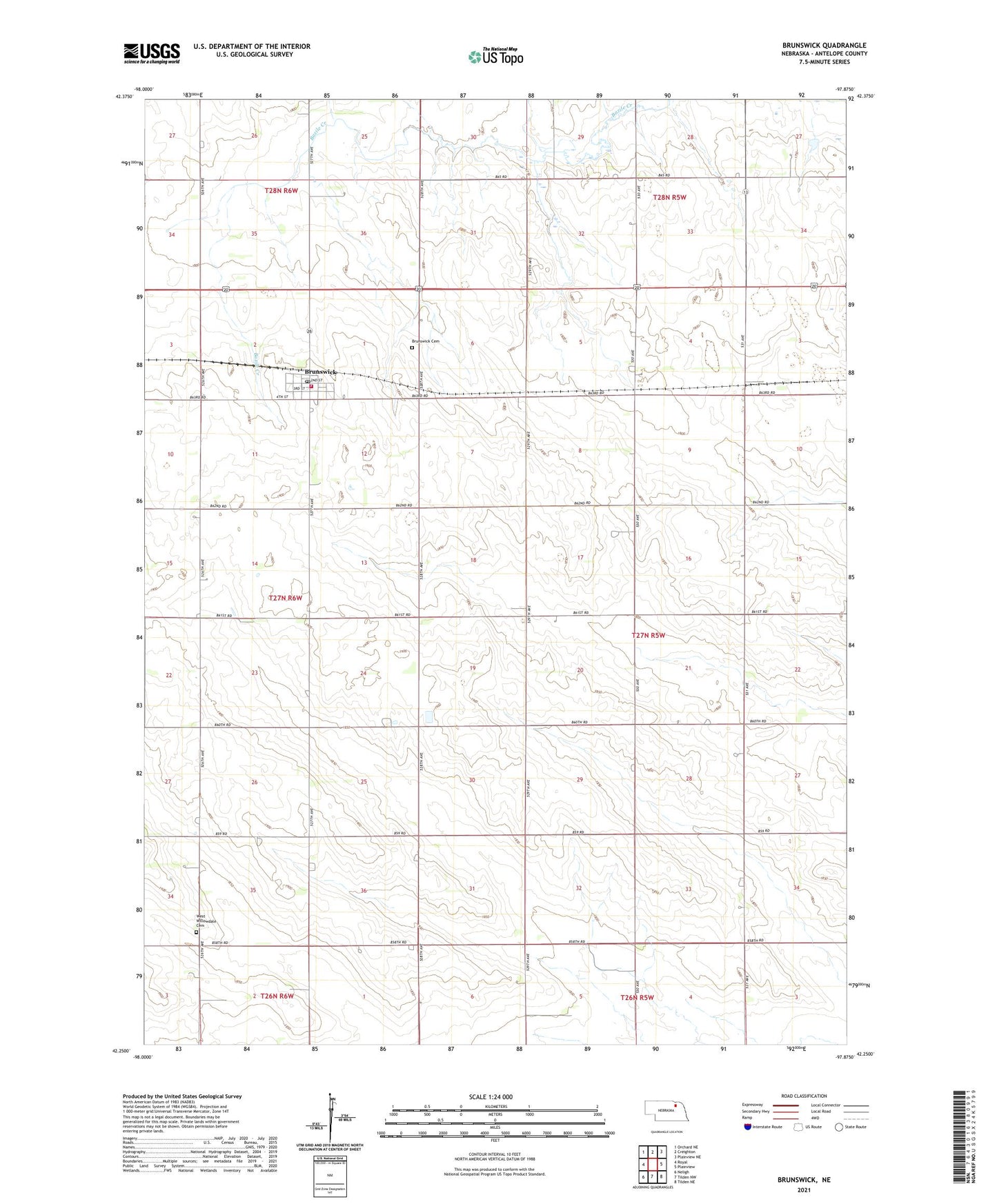
2021 topographic map quadrangle Brunswick in the state of Nebraska. Scale: 1:24000. Based on the newly updated USGS 7.5' US Topo map series, this map is in the following counties: Antelope. The map contains contour data, water features, and other items you are used to seeing on USGS maps, but also has updated roads and other features. This is the next generation of topographic maps. Printed on high-quality waterproof paper with UV fade-resistant inks.
Quads adjacent to this one:
West: Royal
Northwest: Orchard NE
North: Creighton
Northeast: Plainview NE
East: Plainview
Southeast: Tilden NE
South: Tilden NW
Southwest: Neligh
Contains the following named places: Baird School, Bethany Church, Brunswick, Brunswick Cemetery, Brunswick Community Church, Brunswick Elementary School, Brunswick Post Office, Brunswick Public Library, Brunswick Volunteer Fire Department, Copenhagen, Copenhagen School, J E Meuret Grain Company Elevator, Saint Ignatius Catholic Church, School Number 115, School Number 62, Sunny Side School, Township of Crawford, Village of Brunswick, Wayside School, West Willowdale Cemetery