MyTopo
Callaway NW Nebraska US Topo Map
Couldn't load pickup availability
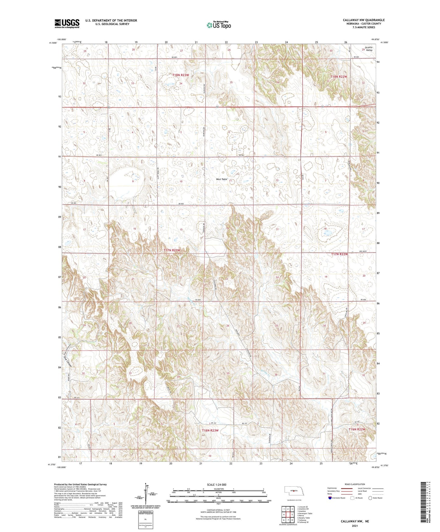
2021 topographic map quadrangle Callaway NW in the state of Nebraska. Scale: 1:24000. Based on the newly updated USGS 7.5' US Topo map series, this map is in the following counties: Custer. The map contains contour data, water features, and other items you are used to seeing on USGS maps, but also has updated roads and other features. This is the next generation of topographic maps. Printed on high-quality waterproof paper with UV fade-resistant inks.
Quads adjacent to this one:
West: Davenport Table
Northwest: Linscott SE
North: Anselmo SW
Northeast: Anselmo
East: Merna
Southeast: Callaway SE
South: Callaway
Southwest: Murphy Table
Contains the following named places: Center School, Cliff Church, Cliff Post Office, Cliff School, Fairview School, Highland School, Maple Grove School, Pine Canyon, Sunflower School, Township of Cliff, Upper Spring Creek School, West Table