MyTopo
Coleridge SE Nebraska US Topo Map
Couldn't load pickup availability
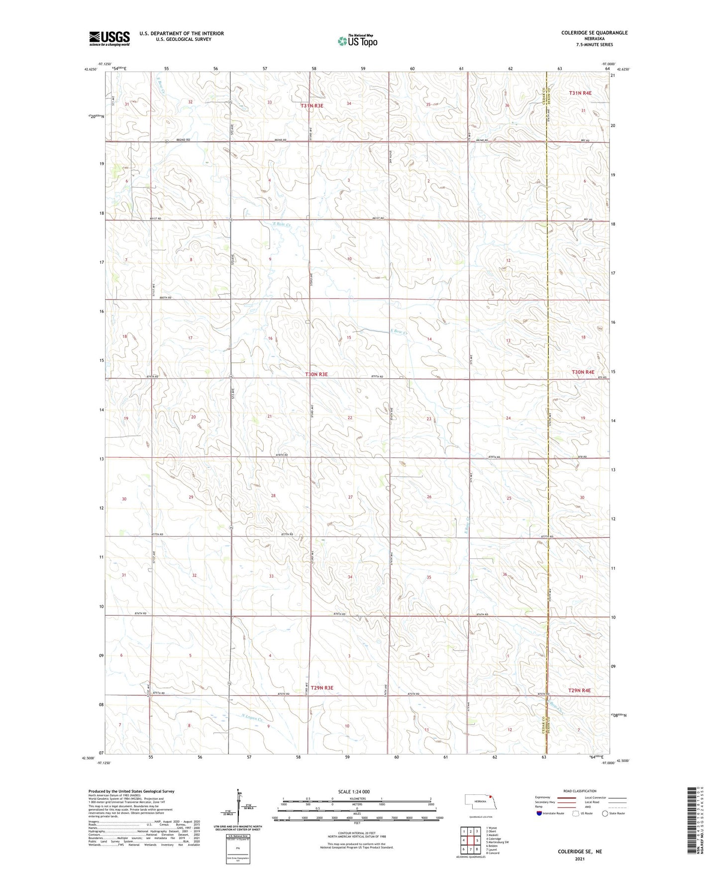
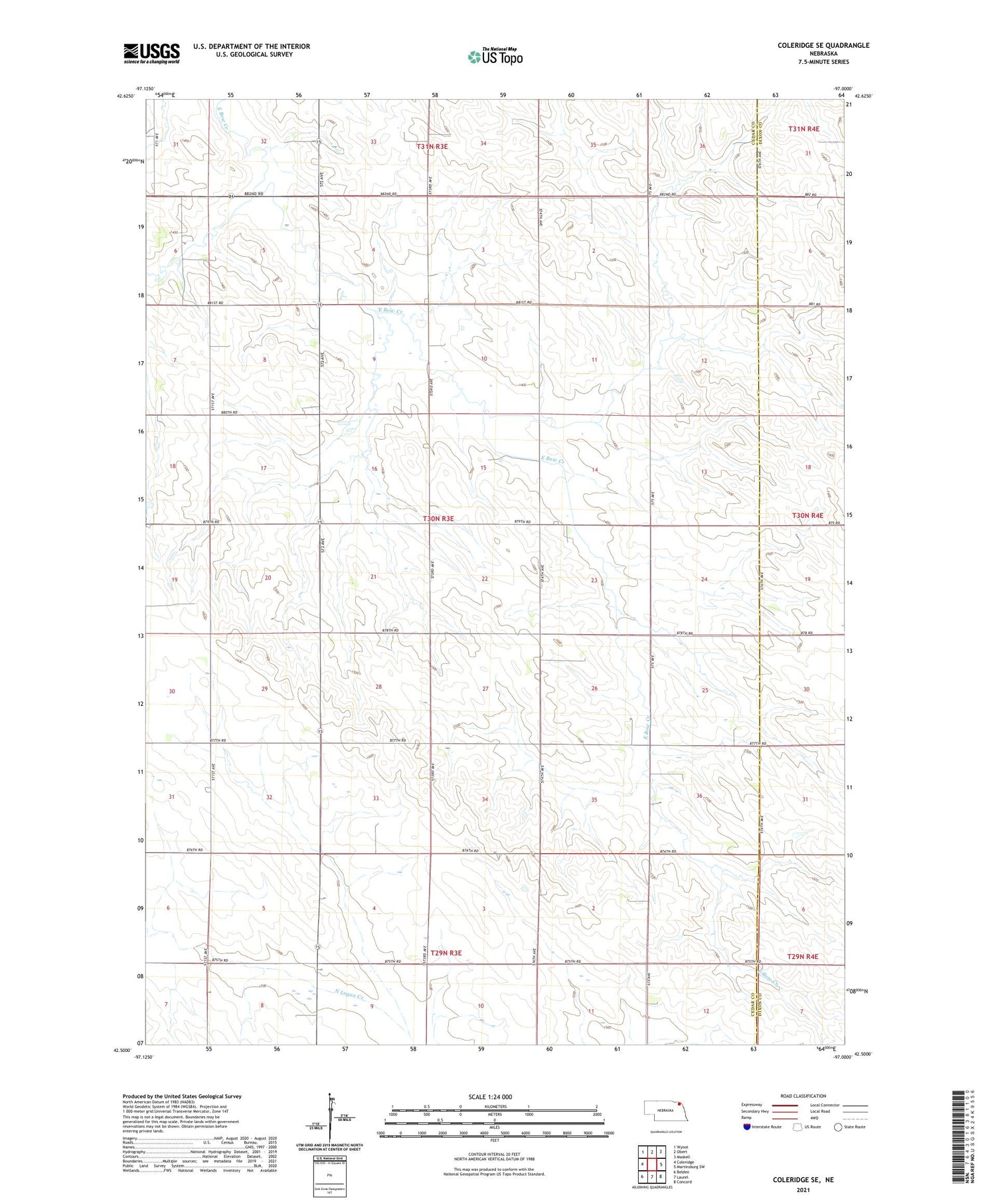
2021 topographic map quadrangle Coleridge SE in the state of Nebraska. Scale: 1:24000. Based on the newly updated USGS 7.5' US Topo map series, this map is in the following counties: Cedar, Dixon. The map contains contour data, water features, and other items you are used to seeing on USGS maps, but also has updated roads and other features. This is the next generation of topographic maps. Printed on high-quality waterproof paper with UV fade-resistant inks.
Quads adjacent to this one:
West: Coleridge
Northwest: Wynot
North: Obert
Northeast: Maskell
East: Martinsburg SW
Southeast: Concord
South: Laurel
Southwest: Belden
Contains the following named places: Branch School, Election Precinct 14, Hansen Dam, Hansen Reservoir, Logan Valley School, Mayflower School, Norris Post Office, Precinct Fifteen, Precinct Fourteen, Precinct Seven, Saint Peter School