MyTopo
Curtis SE Nebraska US Topo Map
Couldn't load pickup availability
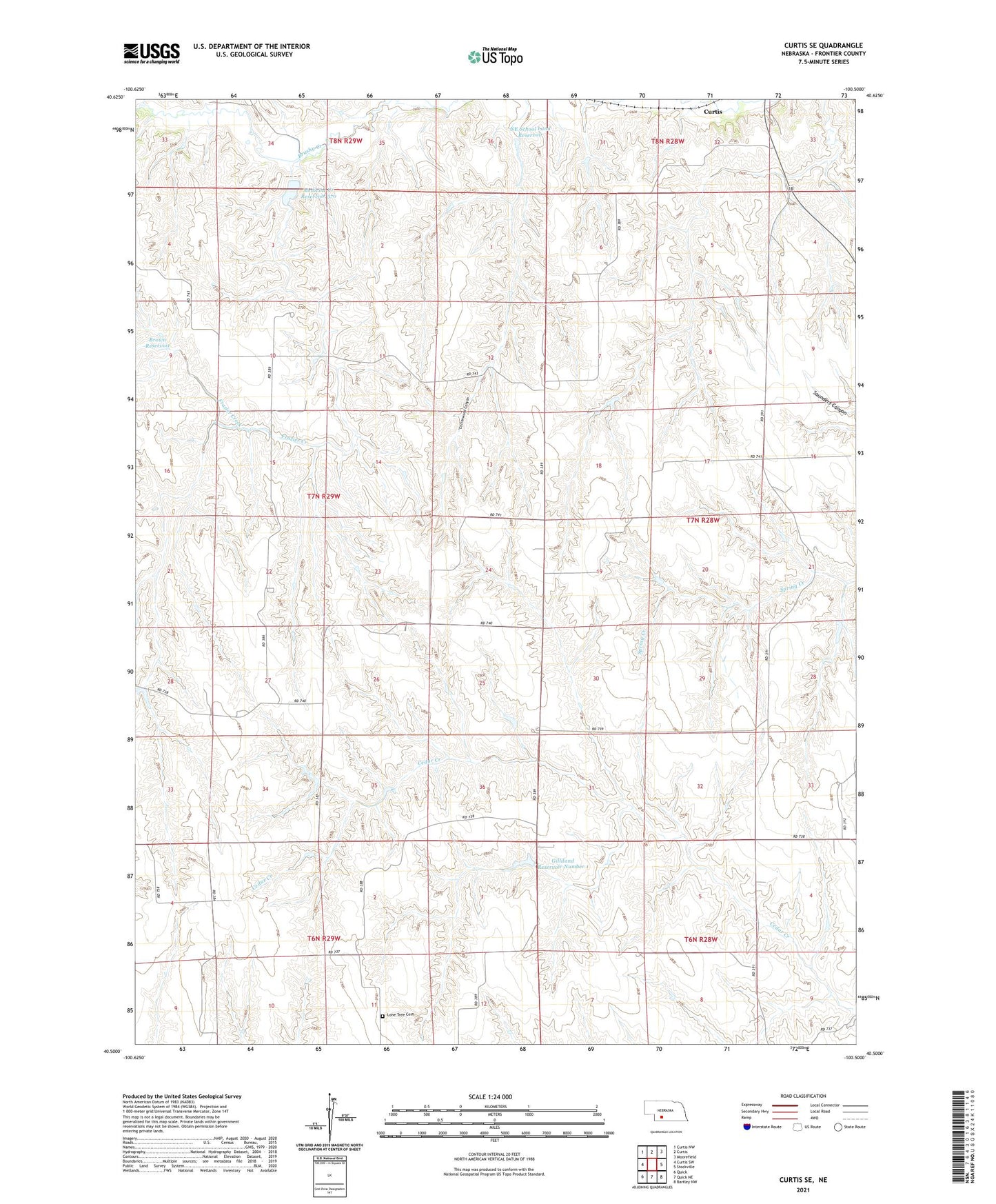
2021 topographic map quadrangle Curtis SE in the state of Nebraska. Scale: 1:24000. Based on the newly updated USGS 7.5' US Topo map series, this map is in the following counties: Frontier. The map contains contour data, water features, and other items you are used to seeing on USGS maps, but also has updated roads and other features. This is the next generation of topographic maps. Printed on high-quality waterproof paper with UV fade-resistant inks.
Quads adjacent to this one:
West: Curtis SW
Northwest: Curtis NW
North: Curtis
Northeast: Moorefield
East: Stockville
Southeast: Bartley NW
South: Quick NE
Southwest: Quick
This map covers the same area as the classic USGS quad with code o40100e5.
Contains the following named places: Brown Dam, Brown Reservoir, Dold School, Fischer School, Frazier Creek, Gilliland Dam Number 1, Gilliland Reservoir Number 1, Laws Election Precinct, Lone Tree Cemetery, Lone Tree School, Medicine Creek Reservoir 370, NE School Land Dam, NE School Land Reservoir, School Number 75, School Number 78, School Number 82, Township of Laws, Upper Medicine Creek Dam 370, ZIP Code: 69025