MyTopo
Elmwood Nebraska US Topo Map
Couldn't load pickup availability
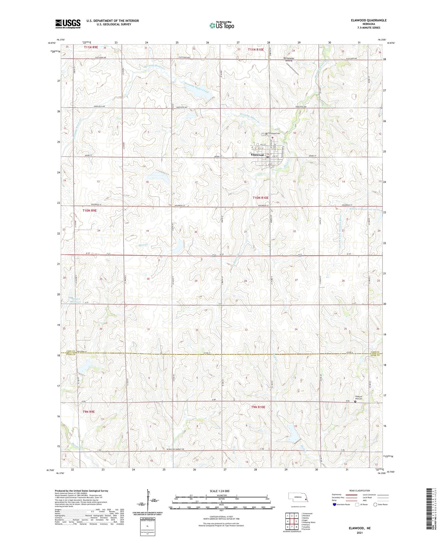
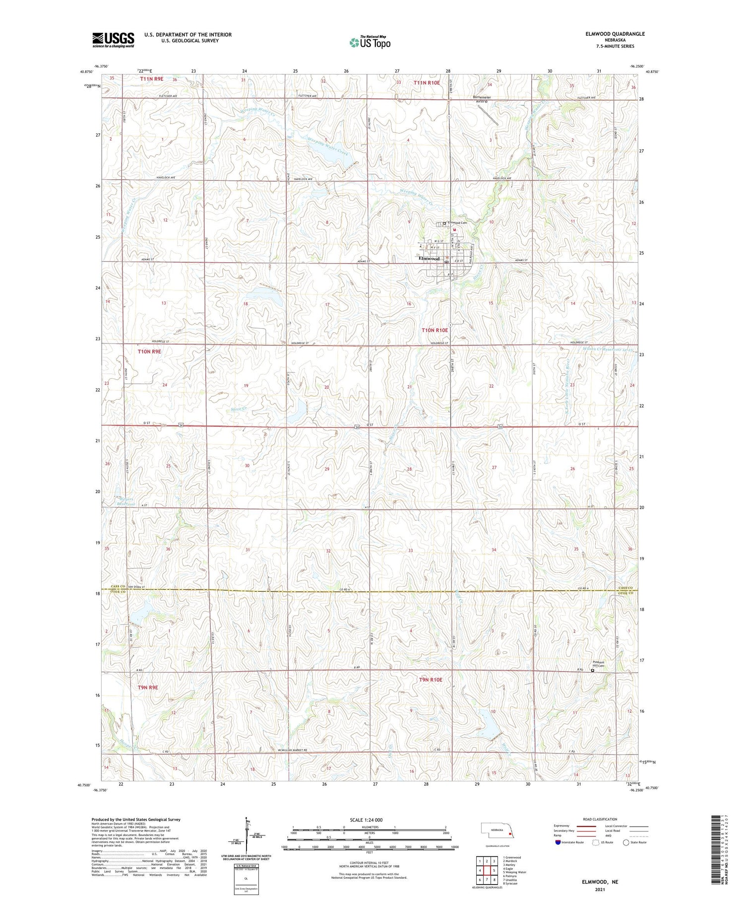
2021 topographic map quadrangle Elmwood in the state of Nebraska. Scale: 1:24000. Based on the newly updated USGS 7.5' US Topo map series, this map is in the following counties: Cass, Otoe. The map contains contour data, water features, and other items you are used to seeing on USGS maps, but also has updated roads and other features. This is the next generation of topographic maps. Printed on high-quality waterproof paper with UV fade-resistant inks.
Quads adjacent to this one:
West: Eagle
Northwest: Greenwood
North: Murdock
Northeast: Manley
East: Weeping Water
Southeast: Syracuse
South: Unadilla
Southwest: Palmyra
Contains the following named places: Bess Streeter Aldrich Historical Marker, Bess Streeter Aldrich Museum, Bornemeier Airstrip, Elmwood, Elmwood - Murdock Elementary School, Elmwood Christian Church, Elmwood Fire and Rescue, Elmwood Park, Elmwood Post Office, Elmwood Public Library, Elmwood Rescue, Grade Stabilization Dam 12-25, Greenwood Farmers Cooperative Elevator, Pleasant Hill Cemetery, Saint Marys Catholic Church, Saint Paul United Methodist Church, Stove Creek, Stove Creek Election Precinct, Township of Stove Creek, Village of Elmwood, Weyers Dam, Weyers Reservoir, Wilson Creek Reservoir 12-25, Zimmerman Grain Company Elevator, ZIP Code: 68349