MyTopo
Emerald Nebraska US Topo Map
Couldn't load pickup availability
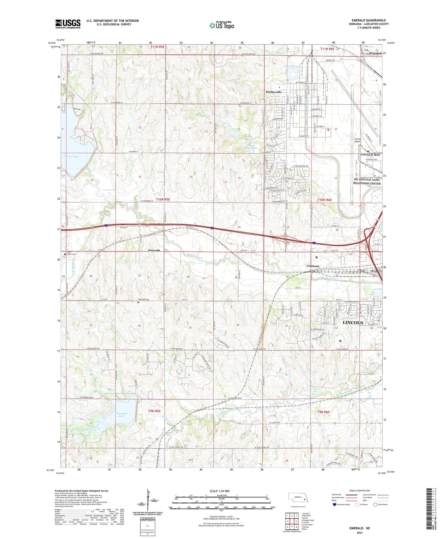
2021 topographic map quadrangle Emerald in the state of Nebraska. Scale: 1:24000. Based on the newly updated USGS 7.5' US Topo map series, this map is in the following counties: Lancaster. The map contains contour data, water features, and other items you are used to seeing on USGS maps, but also has updated roads and other features. This is the next generation of topographic maps. Printed on high-quality waterproof paper with UV fade-resistant inks.
Quads adjacent to this one:
West: Pleasant Dale
Northwest: Garland
North: Raymond
Northeast: Davey
East: Lincoln
Southeast: Roca
South: Denton
Southwest: Crete North
This map covers the same area as the classic USGS quad with code o40096g7.
Contains the following named places: Air Park Recreation Center, Arnold Elementary School, Arnold Heights Branch Library, Arnold Heights Park, Bethel Bible Way Apostolic Temple, Bowling Lake, Bowling Lake Park, Christ the King (Villa Regina) Church, Cobb, Conestoga Dam-Site 12 Dam, Conestoga Lake, Conestoga Lake State Recreation Area, Countryside Co-op Elevator, Cushman, Diagnostic and Evaluation Center Hospital, Emerald, Emerald Cemetery, Emerald Census Designated Place, Emerald Post Office, Flader Dam, Flader Reservoir, Garfield Election Precinct, Garfield School, Haines Branch Public School, Holmes Creek, Huskerville, Immanuel Temple Apostolic Holiness Church, Korean Presbyterian Church, Lancaster Correctional Facility, Lincoln Air Force Base, Lincoln Airport, Lincoln Army Air Field Historical Marker, Lincoln Aviation Personalities Before 1930 Historical Marker, Lincoln Correctional Center, Lincoln Election Precinct, Lincoln Fire and Rescue Station 11, Lincolns Emergence as an Aviation Center Historical Marker, Living Word Christian Outreach Center, Middle Creek Election Precinct, Nebraska Air National Guard Fire Department, Nebraska State Highway Patrol Troop H, Nine-Mile Prairie Historical Marker, Olympic Heights, Pawnee Dam-Site 14 Dam, Pawnee Lake, Pawnee Lake State Recreation Area, Pioneer Park Trails, Pioneers Golf Course, Pioneers Park, Plamor, Rejoice in the Lord Church, Roper Elementary School, Saint Johns Cemetery, School Number 107, School Number 118, South Branch Middle Creek, Township of Garfield, Township of Middle Creek, Township of West Lincoln, West Lincoln Election Precinct, ZIP Codes: 68522, 68528, 68532