MyTopo
Kennedy Nebraska US Topo Map
Couldn't load pickup availability
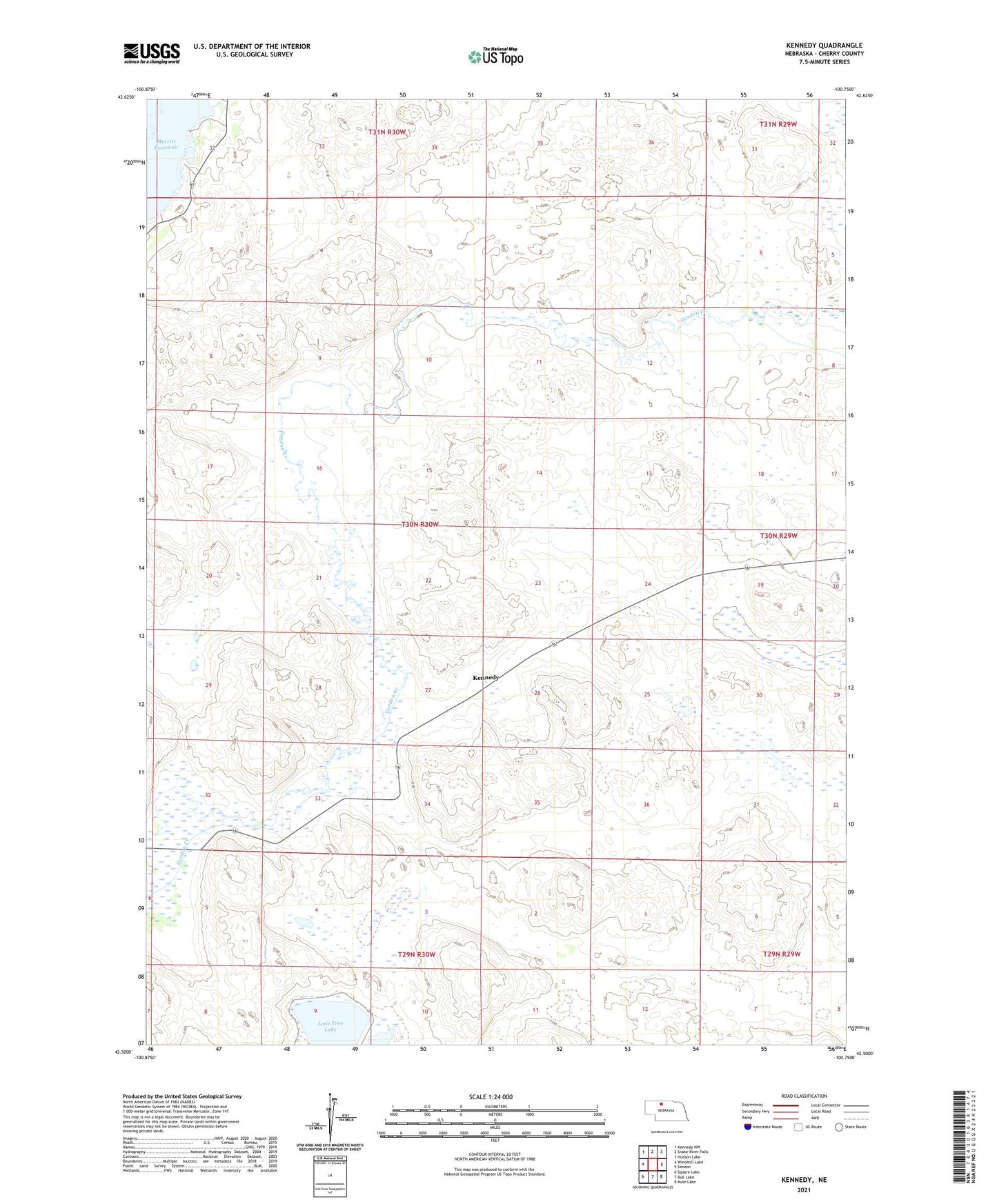
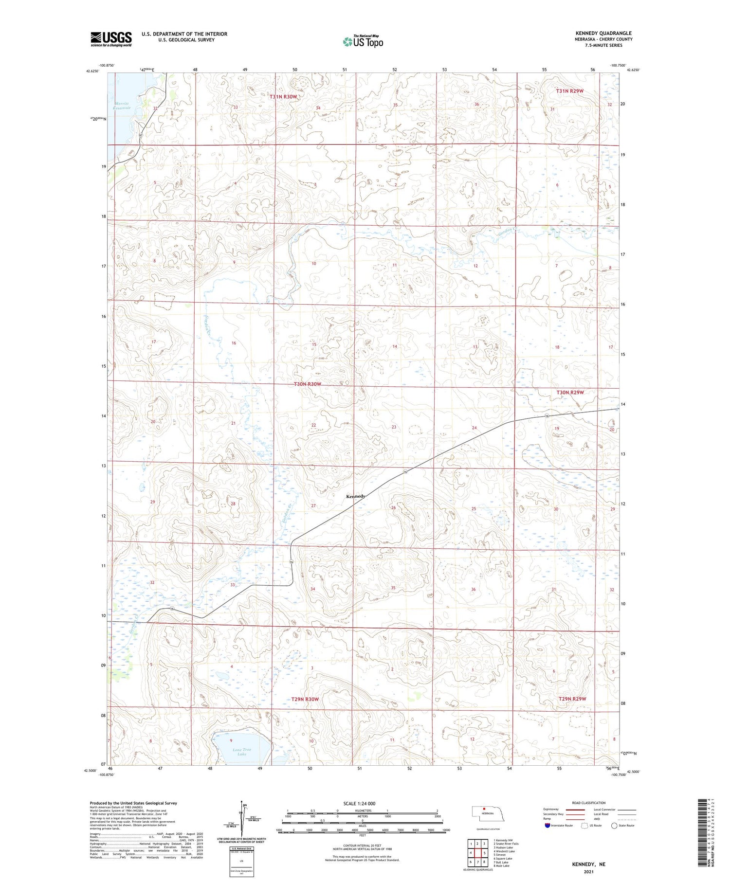
2021 topographic map quadrangle Kennedy in the state of Nebraska. Scale: 1:24000. Based on the newly updated USGS 7.5' US Topo map series, this map is in the following counties: Cherry. The map contains contour data, water features, and other items you are used to seeing on USGS maps, but also has updated roads and other features. This is the next generation of topographic maps. Printed on high-quality waterproof paper with UV fade-resistant inks.
Quads adjacent to this one:
West: Windmill Lake
Northwest: Kennedy NW
North: Snake River Falls
Northeast: Hudson Lake
East: Simeon
Southeast: Mule Lake
South: Bull Lake
Southwest: Square Lake
Contains the following named places: Kennedy, Kennedy Post Office, Lone Tree Lake, Merry Land Park, Merryland Park School, Tiny Town