MyTopo
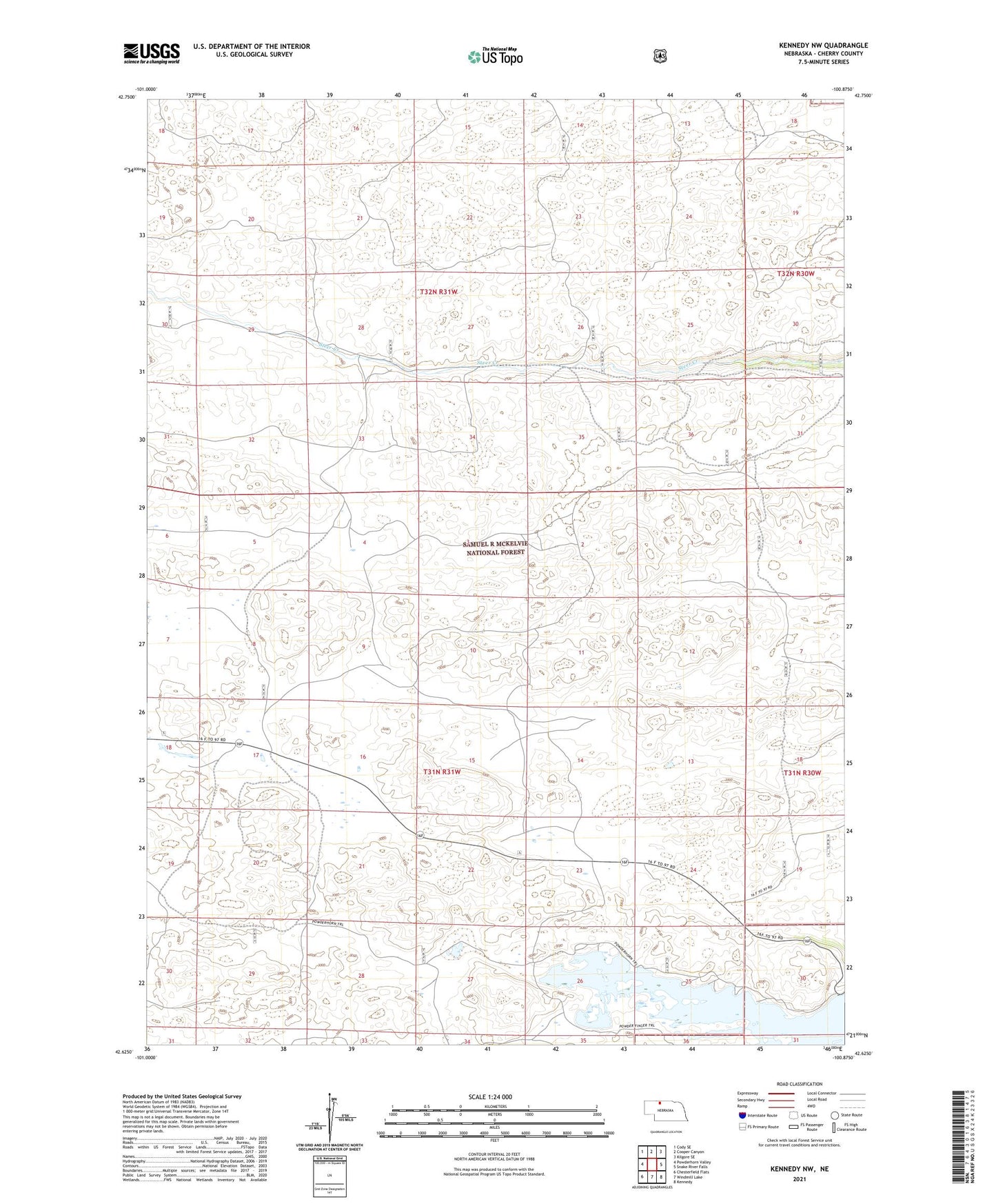
Kennedy NW Nebraska US Topo Map
Couldn't load pickup availability
Also explore the Kennedy NW Forest Service Topo of this same quad for updated USFS data
2021 topographic map quadrangle Kennedy NW in the state of Nebraska. Scale: 1:24000. Based on the newly updated USGS 7.5' US Topo map series, this map is in the following counties: Cherry. The map contains contour data, water features, and other items you are used to seeing on USGS maps, but also has updated roads and other features. This is the next generation of topographic maps. Printed on high-quality waterproof paper with UV fade-resistant inks.
Quads adjacent to this one:
West: Powderhorn Valley
Northwest: Cody SE
North: Cooper Canyon
Northeast: Kilgore SE
East: Snake River Falls
Southeast: Kennedy
South: Windmill Lake
Southwest: Chesterfield Flats
This map covers the same area as the classic USGS quad with code o42100f8.
Contains the following named places: Merritt Reservoir, Powder Horn Area Campground, Steer Creek Camp