
MyTopo
Lillian Nebraska US Topo Map
Couldn't load pickup availability
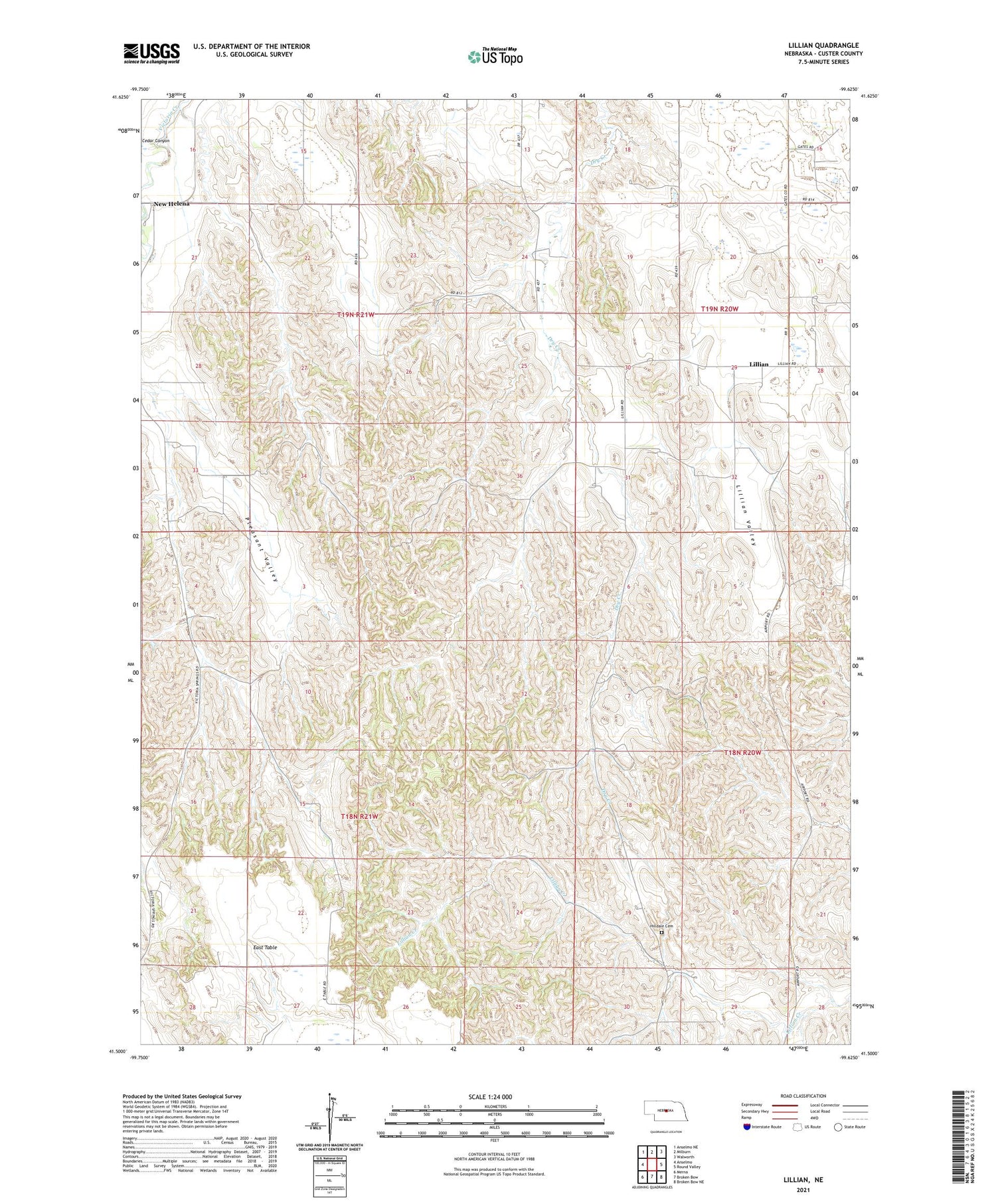
2021 topographic map quadrangle Lillian in the state of Nebraska. Scale: 1:24000. Based on the newly updated USGS 7.5' US Topo map series, this map is in the following counties: Custer. The map contains contour data, water features, and other items you are used to seeing on USGS maps, but also has updated roads and other features. This is the next generation of topographic maps. Printed on high-quality waterproof paper with UV fade-resistant inks.
Quads adjacent to this one:
West: Anselmo
Northwest: Anselmo NE
North: Milburn
Northeast: Walworth
East: Round Valley
Southeast: Broken Bow NE
South: Broken Bow
Southwest: Merna
Contains the following named places: Cedar Canyon, Farritor School, Hilldale Cemetery, Lillian, Lillian Church of Christ, Lillian Post Office, Lillian School, Lillian Valley, Pleasant Valley, Pleasant Valley School, Victoria Springs State Recreation Area


