MyTopo
Long Pine Nebraska US Topo Map
Couldn't load pickup availability
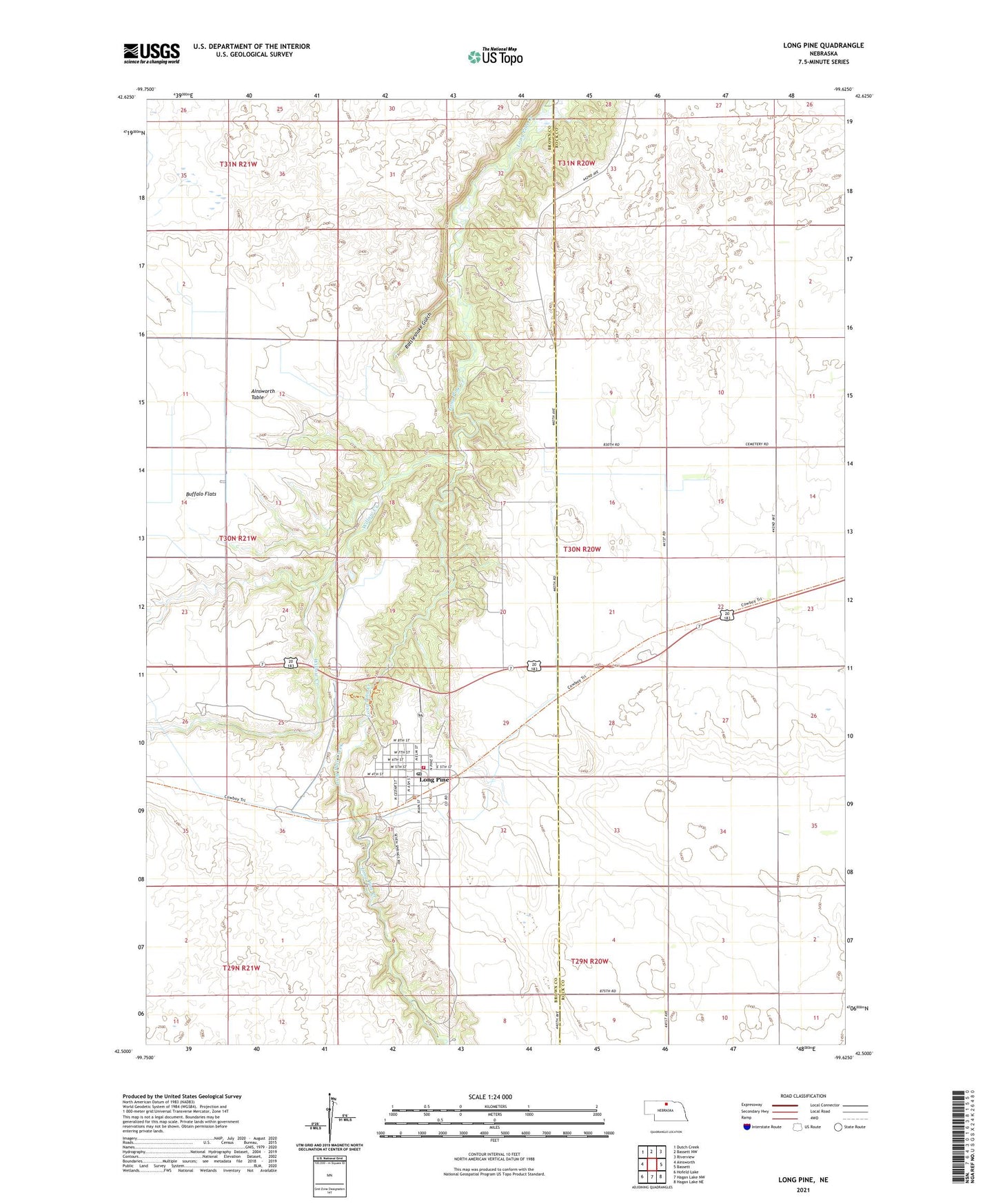
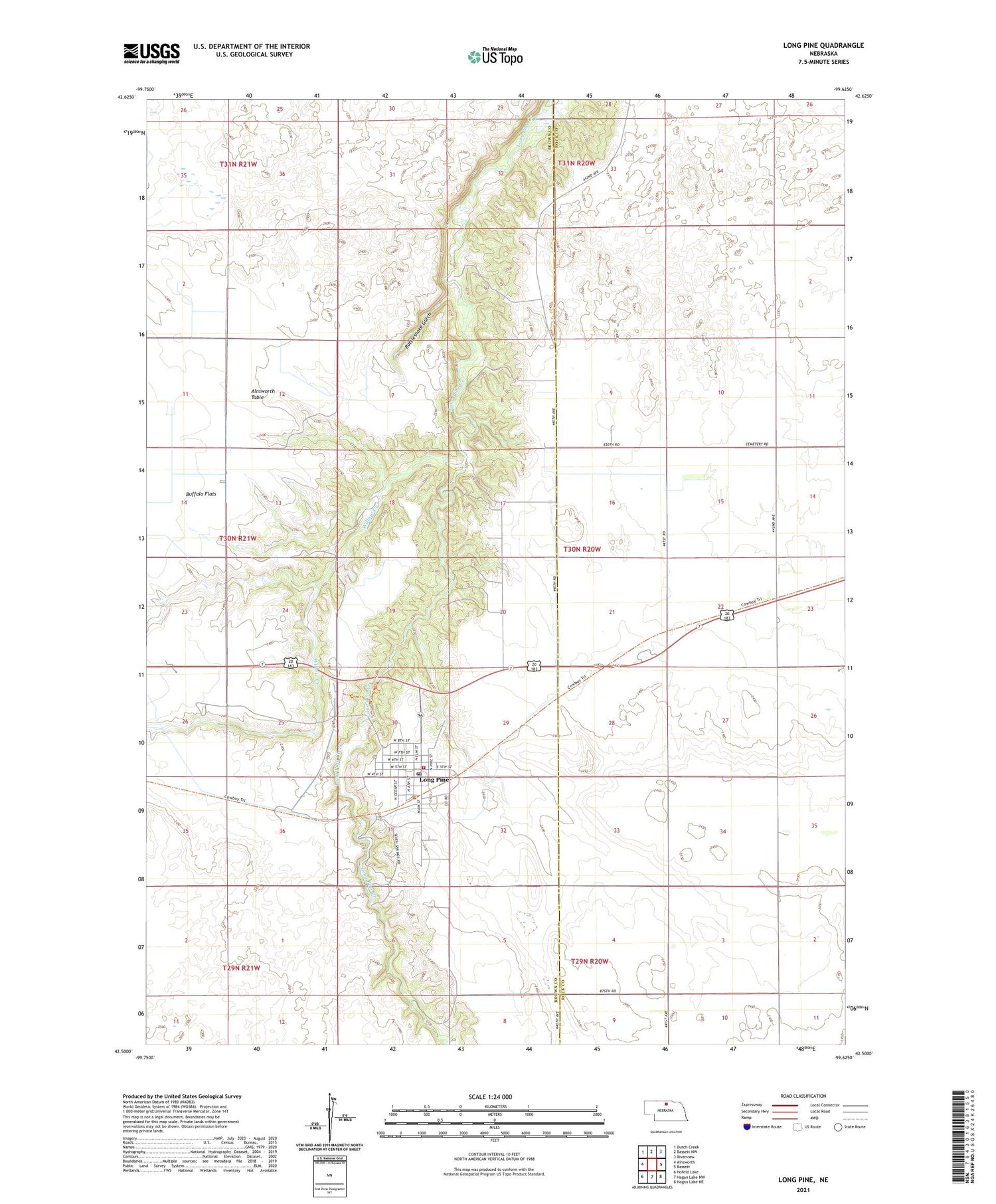
2021 topographic map quadrangle Long Pine in the state of Nebraska. Scale: 1:24000. Based on the newly updated USGS 7.5' US Topo map series, this map is in the following counties: Brown, Rock. The map contains contour data, water features, and other items you are used to seeing on USGS maps, but also has updated roads and other features. This is the next generation of topographic maps. Printed on high-quality waterproof paper with UV fade-resistant inks.
Quads adjacent to this one:
West: Ainsworth
Northwest: Dutch Creek
North: Bassett NW
Northeast: Riverview
East: Bassett
Southeast: Hagan Lake NE
South: Hagan Lake NW
Southwest: Hofeld Lake
Contains the following named places: Buffalo Flat Church, Buffalo Flats Public School, Camp Witness, Chapel of the Pines Pentecostal Church, City of Long Pine, Harrison Election Precinct, Heritage House, Lohmeyer Chiropractic Clinic, Long Pine, Long Pine Post Office, Long Pine State Recreation Area, Long Pine State Wildlife Management Area, Long Pine Tourist Park, Long Pine Volunteer Fire Department, Pine Valley Resort and Campgrounds, Pine View Drive-In Theater, Rattlesnake Gulch, School Number 7, Township of Harrison, Willow Creek, ZIP Code: 69217