MyTopo
Middle Valley Nebraska US Topo Map
Couldn't load pickup availability
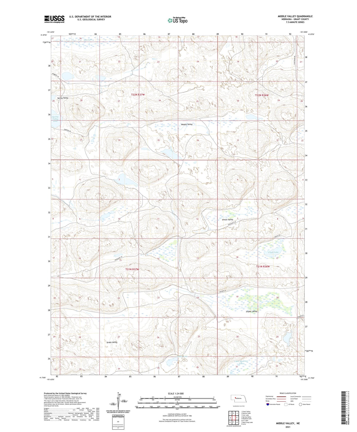
2021 topographic map quadrangle Middle Valley in the state of Nebraska. Scale: 1:24000. Based on the newly updated USGS 7.5' US Topo map series, this map is in the following counties: Grant. The map contains contour data, water features, and other items you are used to seeing on USGS maps, but also has updated roads and other features. This is the next generation of topographic maps. Printed on high-quality waterproof paper with UV fade-resistant inks.
Quads adjacent to this one:
West: Spring Valley
Northwest: Pratt Valley
North: Bunner Lake
Northeast: Carr Lake
East: Rosebud Lake
Southeast: Lena
South: Bean Soup Lake
Southwest: K C Lake
This map covers the same area as the classic USGS quad with code o41101g5.
Contains the following named places: Claw Hammer Lake, Cogill Lake, Drake Valley, Egan Lake, Green Lake, Hebbert Ranch, Kramer Ranch, Middle Valley, Rothwell Lake, School Number 2, Simpson Ranch, Snyder Valley, Vinton Ranch, Vinton Valley