MyTopo
Paramount Valley Nebraska US Topo Map
Couldn't load pickup availability
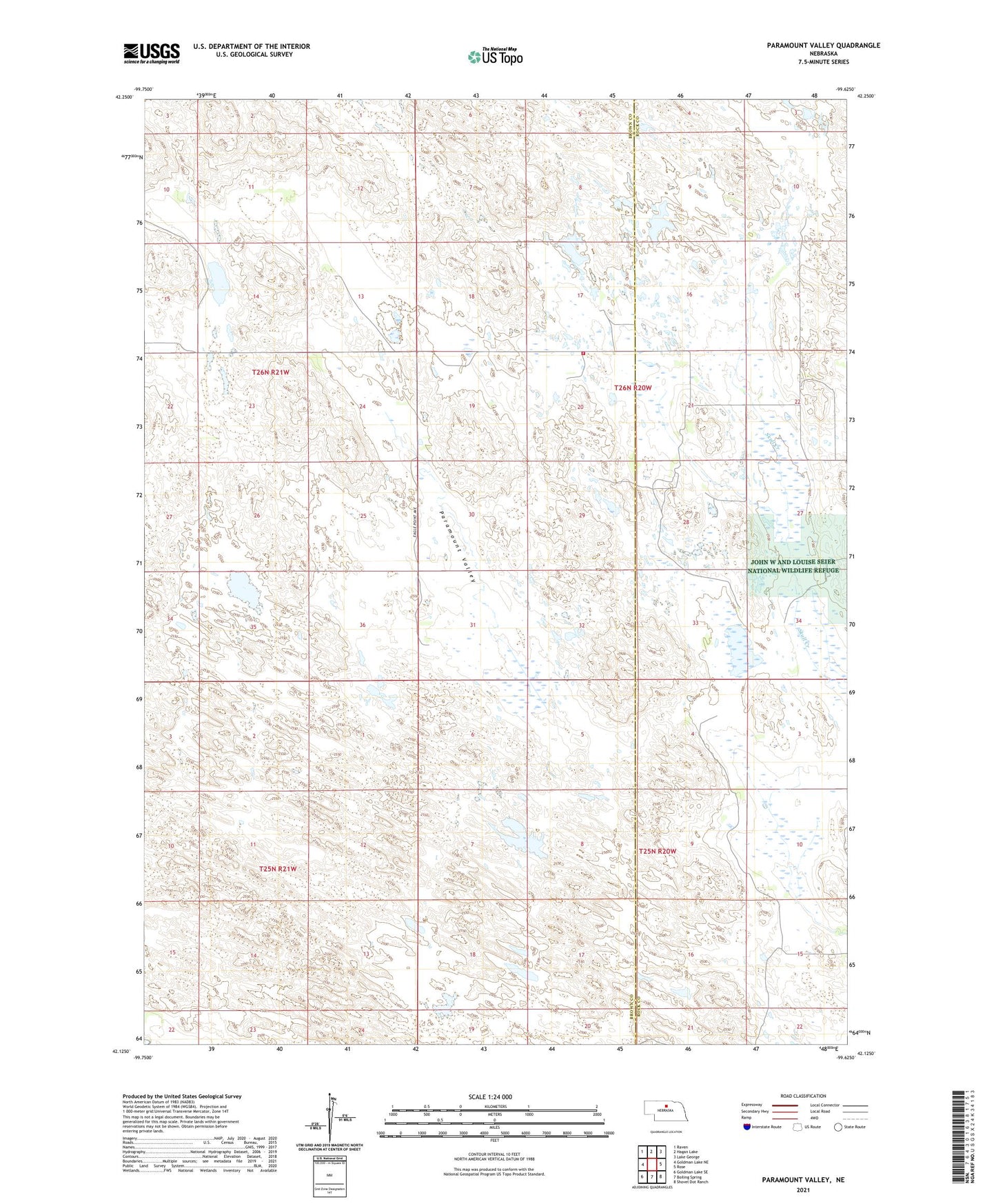
2021 topographic map quadrangle Paramount Valley in the state of Nebraska. Scale: 1:24000. Based on the newly updated USGS 7.5' US Topo map series, this map is in the following counties: Brown, Rock. The map contains contour data, water features, and other items you are used to seeing on USGS maps, but also has updated roads and other features. This is the next generation of topographic maps. Printed on high-quality waterproof paper with UV fade-resistant inks.
Quads adjacent to this one:
West: Goldman Lake NE
Northwest: Raven
North: Hagan Lake
Northeast: Lake George
East: Rose
Southeast: Shovel Dot Ranch
South: Boiling Spring
Southwest: Goldman Lake SE
This map covers the same area as the classic USGS quad with code o42099b6.
Contains the following named places: Hornburger Lake, Johnsons Corner, Paramount Valley, Paramount Valley School, South Pine Volunteer Fire Department