MyTopo
Pleasanton SE Nebraska US Topo Map
Couldn't load pickup availability
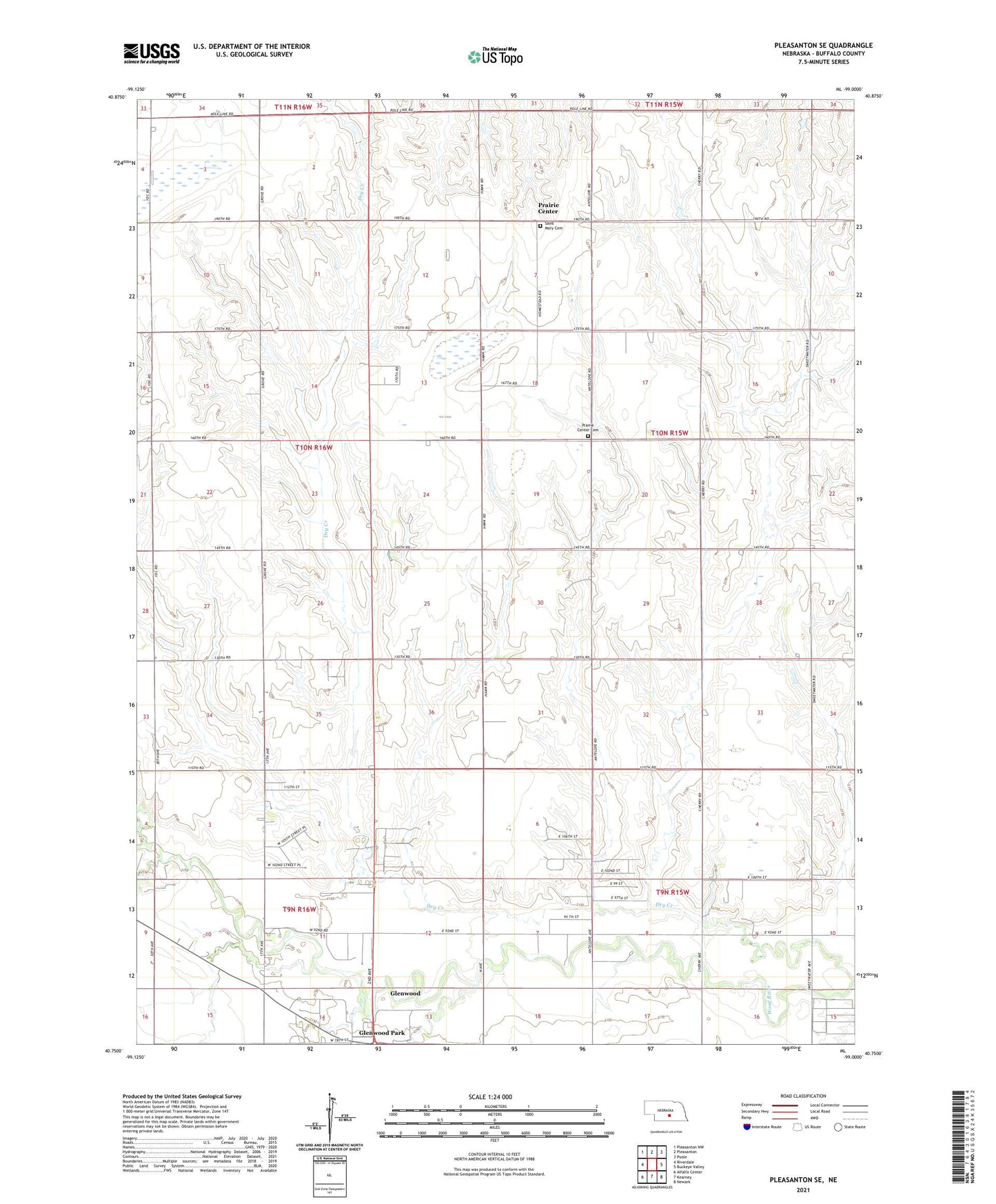
2021 topographic map quadrangle Pleasanton SE in the state of Nebraska. Scale: 1:24000. Based on the newly updated USGS 7.5' US Topo map series, this map is in the following counties: Buffalo. The map contains contour data, water features, and other items you are used to seeing on USGS maps, but also has updated roads and other features. This is the next generation of topographic maps. Printed on high-quality waterproof paper with UV fade-resistant inks.
Quads adjacent to this one:
West: Riverdale
Northwest: Pleasanton NW
North: Pleasanton
Northeast: Poole
East: Buckeye Valley
Southeast: Newark
South: Kearney
Southwest: Alfalfa Center
Contains the following named places: Buffalo County, Election Precinct 20, Glenwood Census Designated Place, Glenwood Elementary School, Glenwood School, Havens Chapel, Moo Feedlot, Pleasant Hill Public School, Prairie Center, Prairie Center Cemetery, Prairie Center Post Office, Saint Mary Cemetery, School Number 110, School Number 26, School Number 29, School Number 35, School Number 46, School Number 88, Township of Thornton, ZIP Code: 68847