MyTopo
Alfalfa Center Nebraska US Topo Map
Couldn't load pickup availability
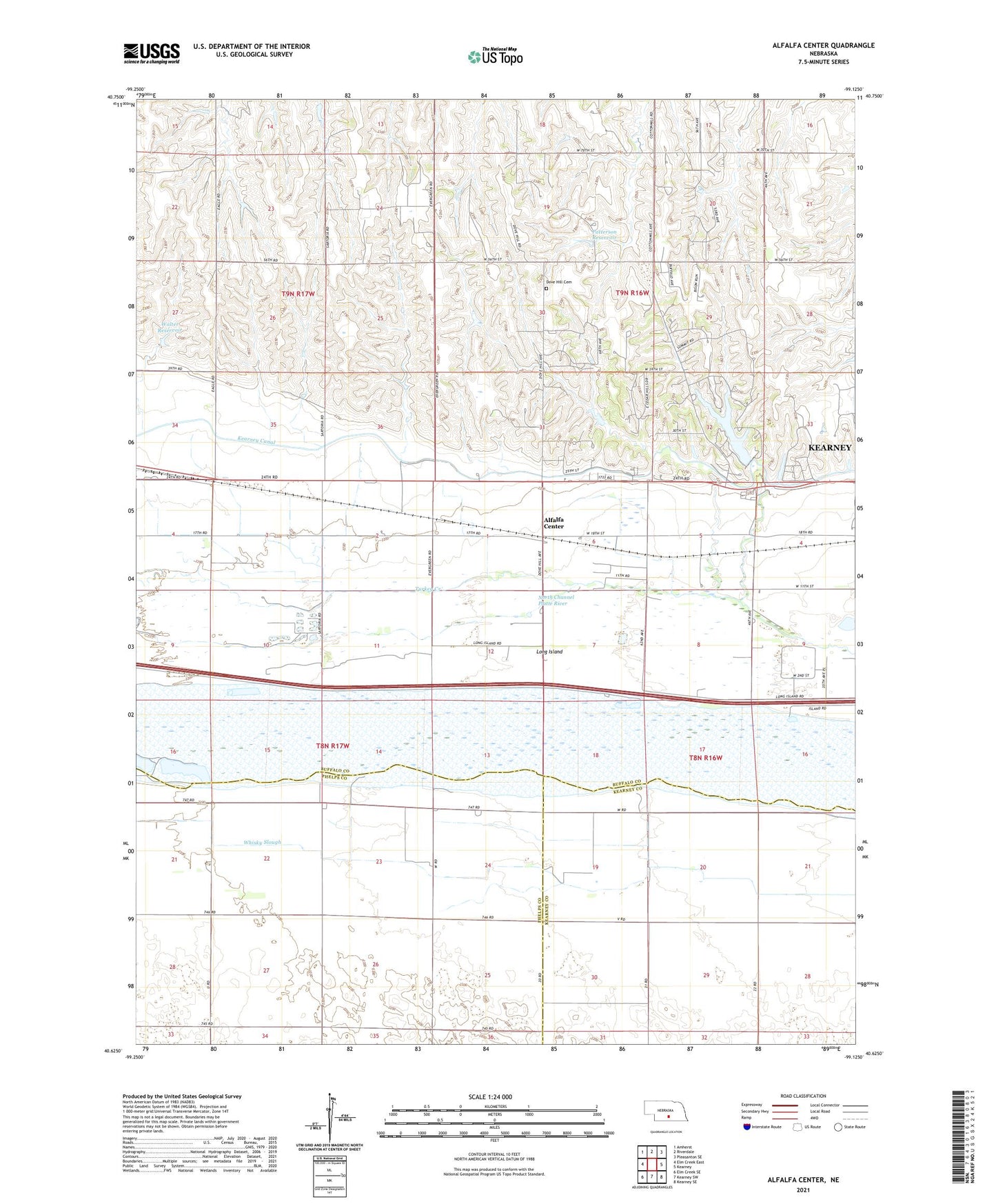
2021 topographic map quadrangle Alfalfa Center in the state of Nebraska. Scale: 1:24000. Based on the newly updated USGS 7.5' US Topo map series, this map is in the following counties: Buffalo, Phelps, Kearney. The map contains contour data, water features, and other items you are used to seeing on USGS maps, but also has updated roads and other features. This is the next generation of topographic maps. Printed on high-quality waterproof paper with UV fade-resistant inks.
Quads adjacent to this one:
West: Elm Creek East
Northwest: Amherst
North: Riverdale
Northeast: Pleasanton SE
East: Kearney
Southeast: Kearney SE
South: Kearney SW
Southwest: Elm Creek SE
This map covers the same area as the classic USGS quad with code o40099f2.
Contains the following named places: Alfalfa Center, Cottonmill Dam, Cottonmill Lake, Cottonmill Lake State Recreation Area, Cottonmill Mobile Home Court, Cottonmill Reservoir, Cottonmill Trail, Dove Hill Cemetery, East Odessa State Wildlife Management Area, Election Precinct 26, Fort Kearney Historical Marker, Kearney Canal, Kearney Cotton Mill Historical Marker, Kearney Rest Area - Eastbound, KKPR-AM (Kearney), Long Island, Meadowlark Hills Golf Course, Patterson Dam, Patterson Reservoir, School Number 114, School Number 120, Sheens Trailer Court, Township of Collins, Turkey Creek, Walter Dam, Walter Reservoir, Watson Ranch Historical Marker, Whisky Slough, ZIP Code: 68845