MyTopo
Poole NE Nebraska US Topo Map
Couldn't load pickup availability
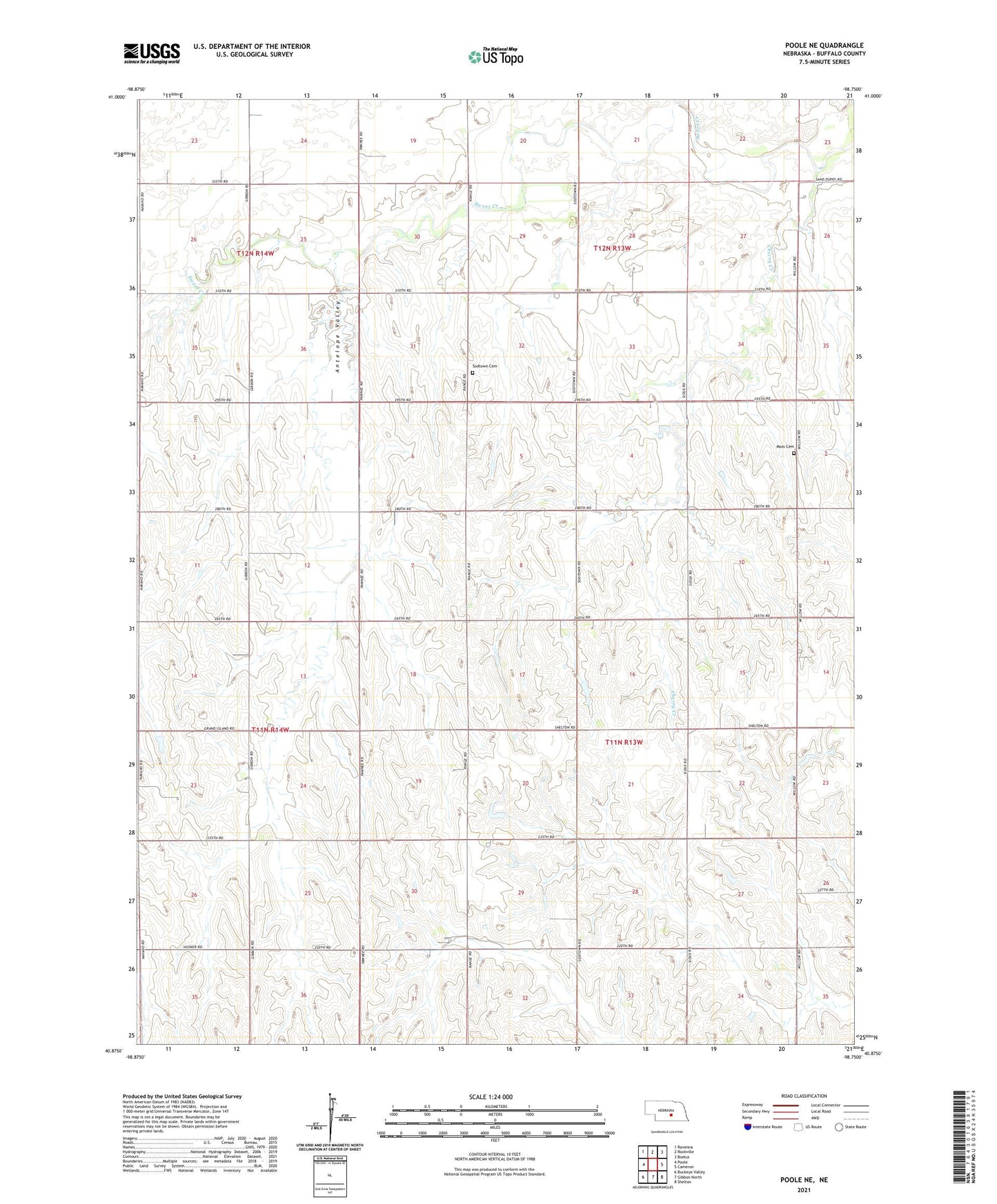
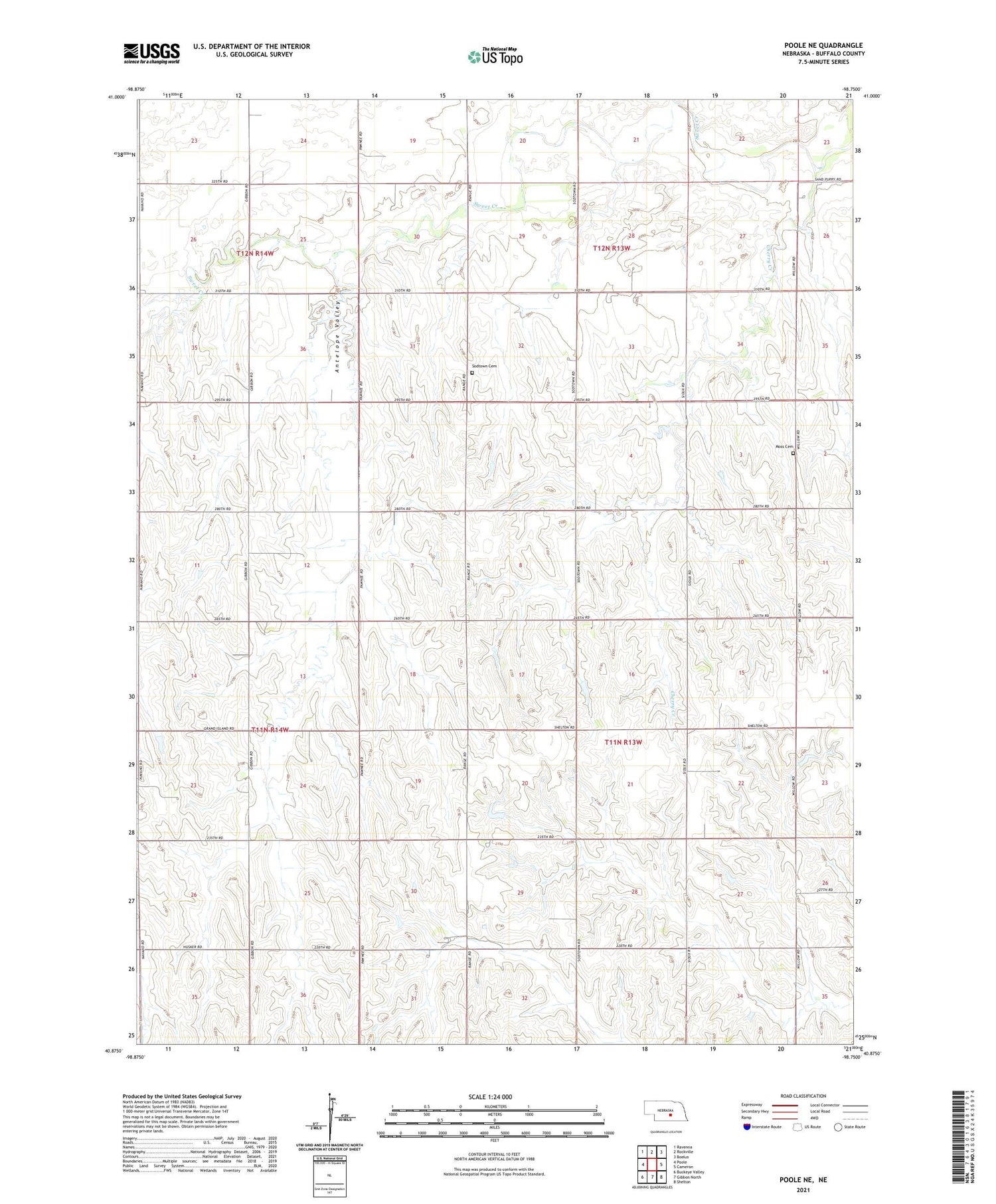
2021 topographic map quadrangle Poole NE in the state of Nebraska. Scale: 1:24000. Based on the newly updated USGS 7.5' US Topo map series, this map is in the following counties: Buffalo. The map contains contour data, water features, and other items you are used to seeing on USGS maps, but also has updated roads and other features. This is the next generation of topographic maps. Printed on high-quality waterproof paper with UV fade-resistant inks.
Quads adjacent to this one:
West: Poole
Northwest: Ravenna
North: Rockville
Northeast: Boelus
East: Cameron
Southeast: Shelton
South: Gibbon North
Southwest: Buckeye Valley
This map covers the same area as the classic USGS quad with code o40098h7.
Contains the following named places: Antelope Valley, Cherry Creek, District 065-Buffalo County School, Election Precinct 17, Moss Cemetery, Saint Wenceslaus Church, School Number 48, Sodtown Cemetery, Township of Gardner, Union Ridge School, United Brethren Church, Zion Church