
MyTopo
Roubadeau Pass Nebraska US Topo Map
Couldn't load pickup availability
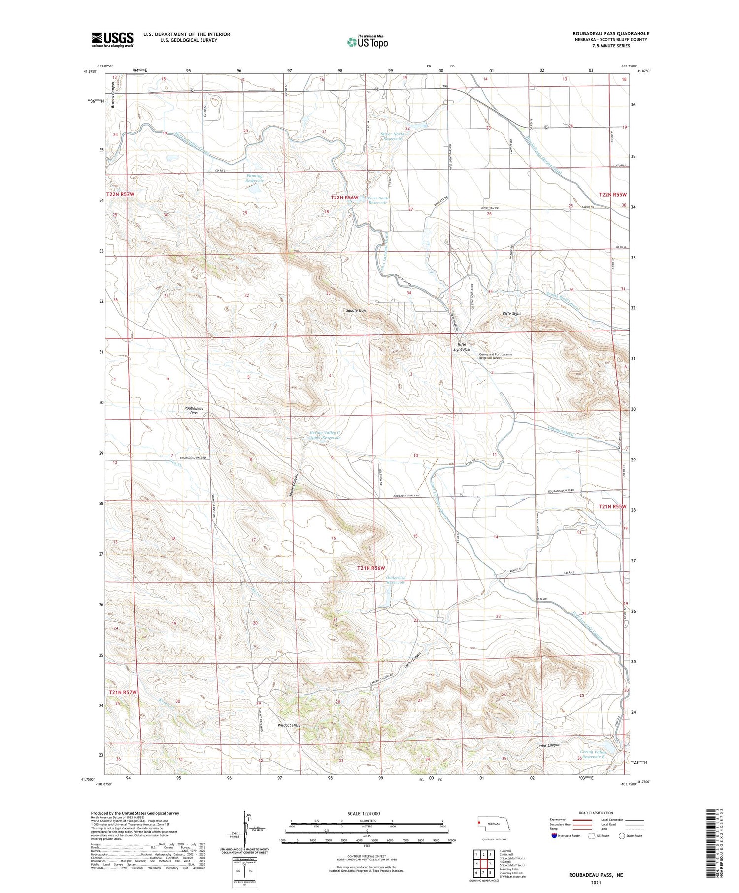
2021 topographic map quadrangle Roubadeau Pass in the state of Nebraska. Scale: 1:24000. Based on the newly updated USGS 7.5' US Topo map series, this map is in the following counties: Scotts Bluff. The map contains contour data, water features, and other items you are used to seeing on USGS maps, but also has updated roads and other features. This is the next generation of topographic maps. Printed on high-quality waterproof paper with UV fade-resistant inks.
Quads adjacent to this one:
West: Stegall
Northwest: Morrill
North: Mitchell
Northeast: Scottsbluff North
East: Scottsbluff South
Southeast: Wildcat Mountain
South: Murray Lake NE
Southwest: Murray Lake
Contains the following named places: Carter Canyon, Carter Canyon Ranch, Carter Canyon School, Fanning Dam, Fanning Reservoir, Fort Laramie Canal, Gering and Fort Laramie Irrigation Tunnel, Gering Valley Dam E, Gering Valley Dam F, Gering Valley Dam G Lower, Gering Valley G Upper Dam, Gering Valley G Upper Reservoir, Gering Valley Reservoir E, Gering Valley Reservoir F, Gering Valley Reservoir G Lower, Haig School, Hubbard Corner, KMOR-FM (Scottsbluff), Mitchell Election Precinct, Ouderkirk Dam, Ouderkirk Reservoir, Rifle Sight, Rifle Sight Pass, Roubadeau Election Precinct, Roubadeau Pass, Roubadeau Ranch, Roubadeau Trading Post, Saddle Gap, Scotts Bluff Lateral, Spook Canyon, Stiver North Dam, Stiver North Reservoir, Stiver South Dam, Stiver South Reservoir, Summit Ranch, Yount Dam, Yount Reservoir


