MyTopo
Schneringer Valley Nebraska US Topo Map
Couldn't load pickup availability
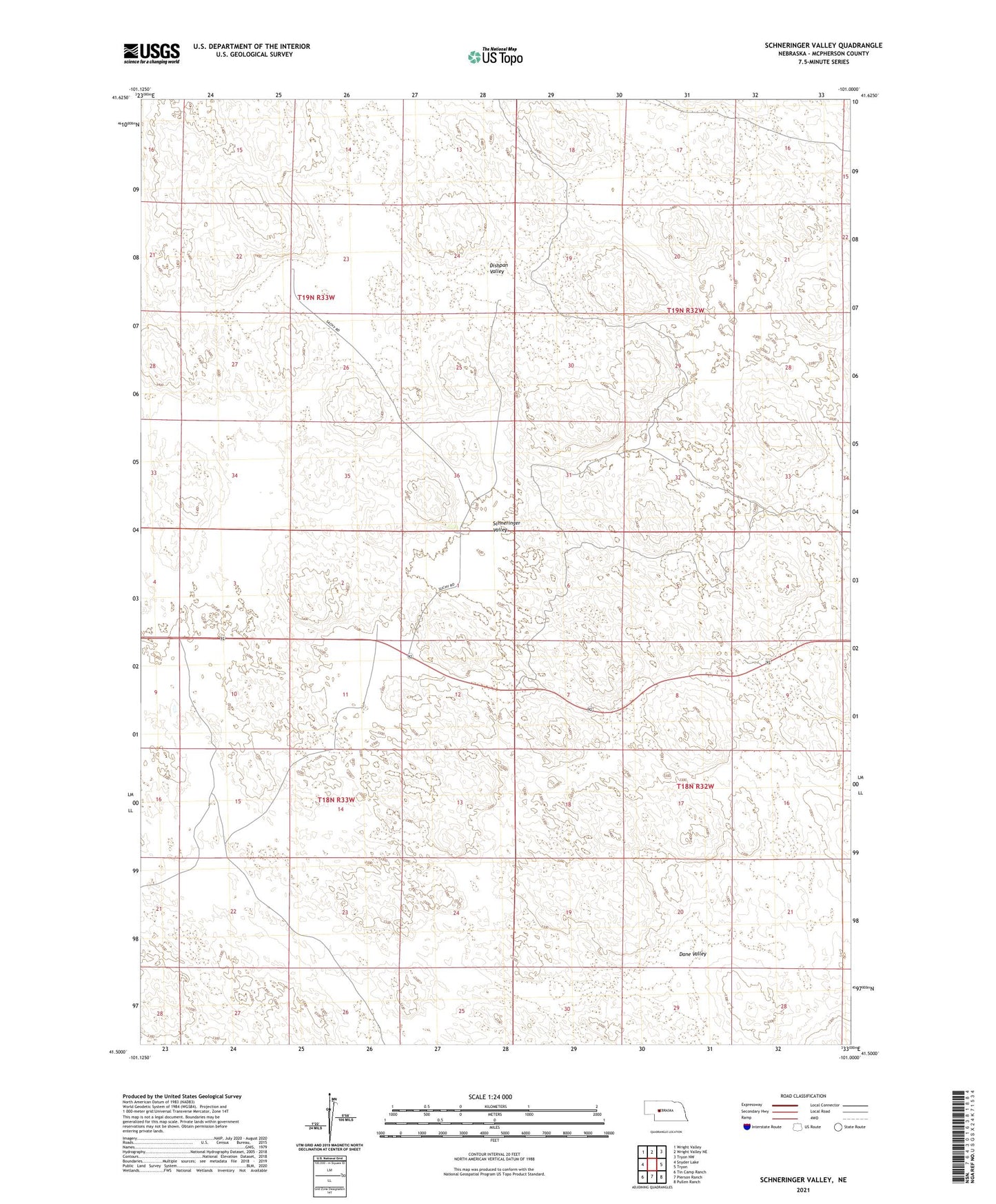
2021 topographic map quadrangle Schneringer Valley in the state of Nebraska. Scale: 1:24000. Based on the newly updated USGS 7.5' US Topo map series, this map is in the following counties: McPherson. The map contains contour data, water features, and other items you are used to seeing on USGS maps, but also has updated roads and other features. This is the next generation of topographic maps. Printed on high-quality waterproof paper with UV fade-resistant inks.
Quads adjacent to this one:
West: Snyder Lake
Northwest: Wright Valley
North: Wright Valley NE
Northeast: Tryon NW
East: Tryon
Southeast: Pullen Ranch
South: Pierson Ranch
Southwest: Tin Camp Ranch
Contains the following named places: C Pinkerton Ranch, Conroy Ranch, Cotton Ranch, Dahlin Ranch, Dane Valley, Dishpan Valley, Holloway Ranch, J Pinkerton Ranch, McPherson County, Qualley Ranch, Schneringer Valley, School Number 13, School Number 28, Warren Ranch, Whittaker Ranch, ZIP Code: 69167