MyTopo
Taylor NE Nebraska US Topo Map
Couldn't load pickup availability
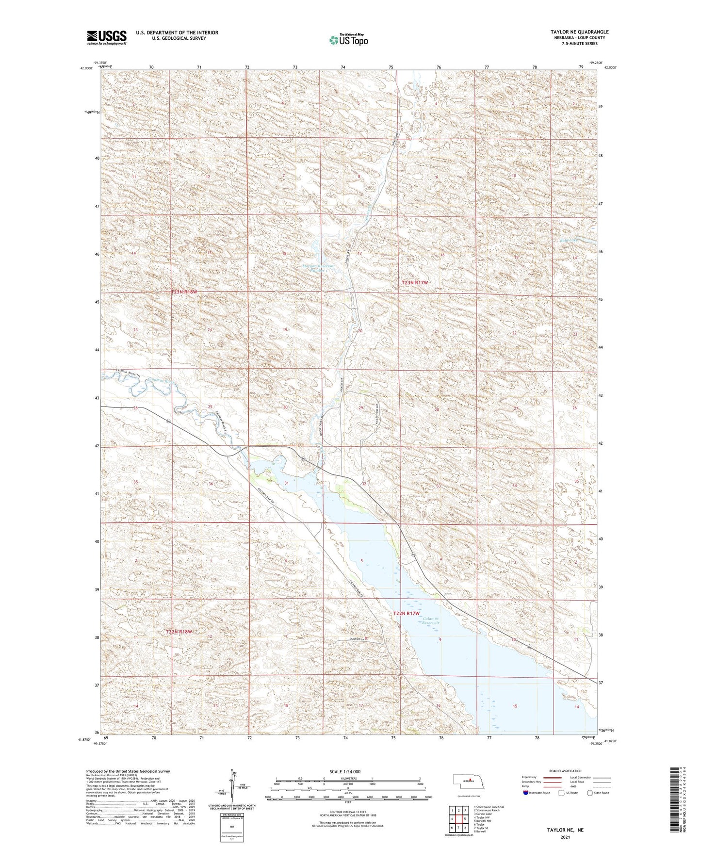
2021 topographic map quadrangle Taylor NE in the state of Nebraska. Scale: 1:24000. Based on the newly updated USGS 7.5' US Topo map series, this map is in the following counties: Loup. The map contains contour data, water features, and other items you are used to seeing on USGS maps, but also has updated roads and other features. This is the next generation of topographic maps. Printed on high-quality waterproof paper with UV fade-resistant inks.
Quads adjacent to this one:
West: Taylor NW
Northwest: Stonehouse Ranch SW
North: Stonehouse Ranch
Northeast: Carson Lake
East: Burwell NW
Southeast: Burwell
South: Taylor SE
Southwest: Taylor
This map covers the same area as the classic USGS quad with code o41099h3.
Contains the following named places: Calamus Reservoir State Recreation Area, Chapman Ranch, Conner Ranch, Gracie Creek, Hannamon Bayou Campground, Kent Election Precinct, Morgan Dam, Morgan Reservoir Number 1, River Ranch, Robbins Ranch, Scherzberg Bayou, Scherzberg Ranch, Schonhar Ranch, Valley View School, Valleyview Flat Campground, Valleyview Historical Marker, Valleyview Post Office