MyTopo
Taylor SE Nebraska US Topo Map
Couldn't load pickup availability
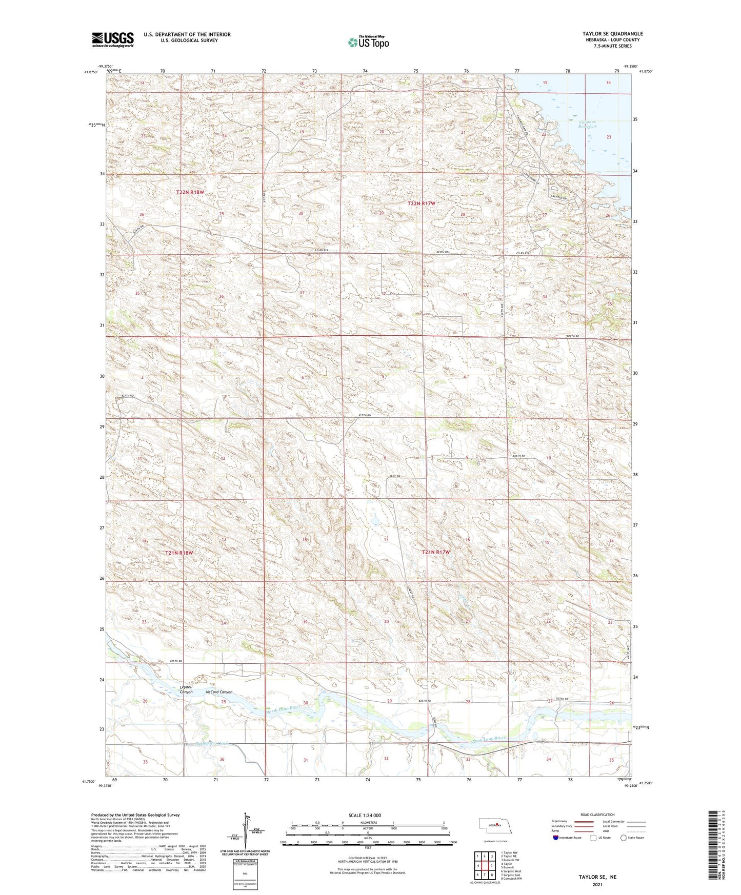
2021 topographic map quadrangle Taylor SE in the state of Nebraska. Scale: 1:24000. Based on the newly updated USGS 7.5' US Topo map series, this map is in the following counties: Loup. The map contains contour data, water features, and other items you are used to seeing on USGS maps, but also has updated roads and other features. This is the next generation of topographic maps. Printed on high-quality waterproof paper with UV fade-resistant inks.
Quads adjacent to this one:
West: Taylor
Northwest: Taylor NW
North: Taylor NE
Northeast: Burwell NW
East: Burwell
Southeast: Comstock NW
South: Sargent East
Southwest: Sargent West
Contains the following named places: Aggies Acres, Calamus Reservoir, Cedar Creek, Dry Creek, Kent, Kent Diversion Dam State Wildlife Management Area, Kent Post Office, Kent School, Leydell Canyon, Lone Star School, McCord Canyon, Mikes Meadows, Nunda Shoal Campground, Pleasant View School, Round Hill School, Township of Kent, Township of Little York