MyTopo
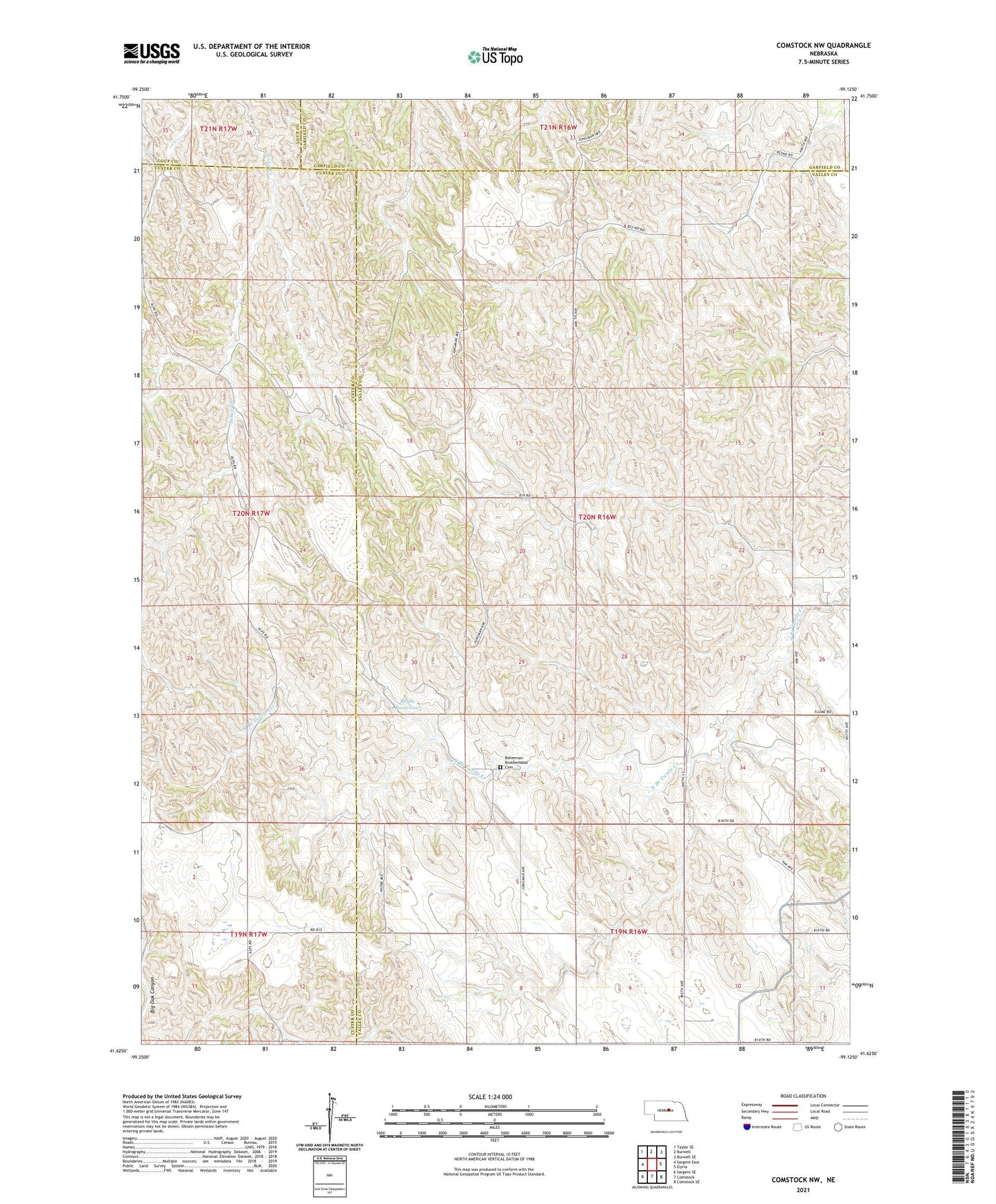
Comstock NW Nebraska US Topo Map
Couldn't load pickup availability
2021 topographic map quadrangle Comstock NW in the state of Nebraska. Scale: 1:24000. Based on the newly updated USGS 7.5' US Topo map series, this map is in the following counties: Valley, Custer, Garfield, Loup. The map contains contour data, water features, and other items you are used to seeing on USGS maps, but also has updated roads and other features. This is the next generation of topographic maps. Printed on high-quality waterproof paper with UV fade-resistant inks.
Quads adjacent to this one:
West: Sargent East
Northwest: Taylor SE
North: Burwell
Northeast: Burwell SE
East: Elyria
Southeast: Comstock SE
South: Comstock
Southwest: Sargent SE
This map covers the same area as the classic USGS quad with code o41099f2.
Contains the following named places: Blue Grass School, Blue Valley School, Bohemian Brotherhood Cemetery, Boleszpn Church, Eureka School, Hillside School, Jungmann Hall, Komensky School, Pioneer School, Rejda Dam, Rejda Reservoir, School Number 186, Shady Hollow School, Township of Eureka