
MyTopo
Whiteclay SW Nebraska US Topo Map
Couldn't load pickup availability
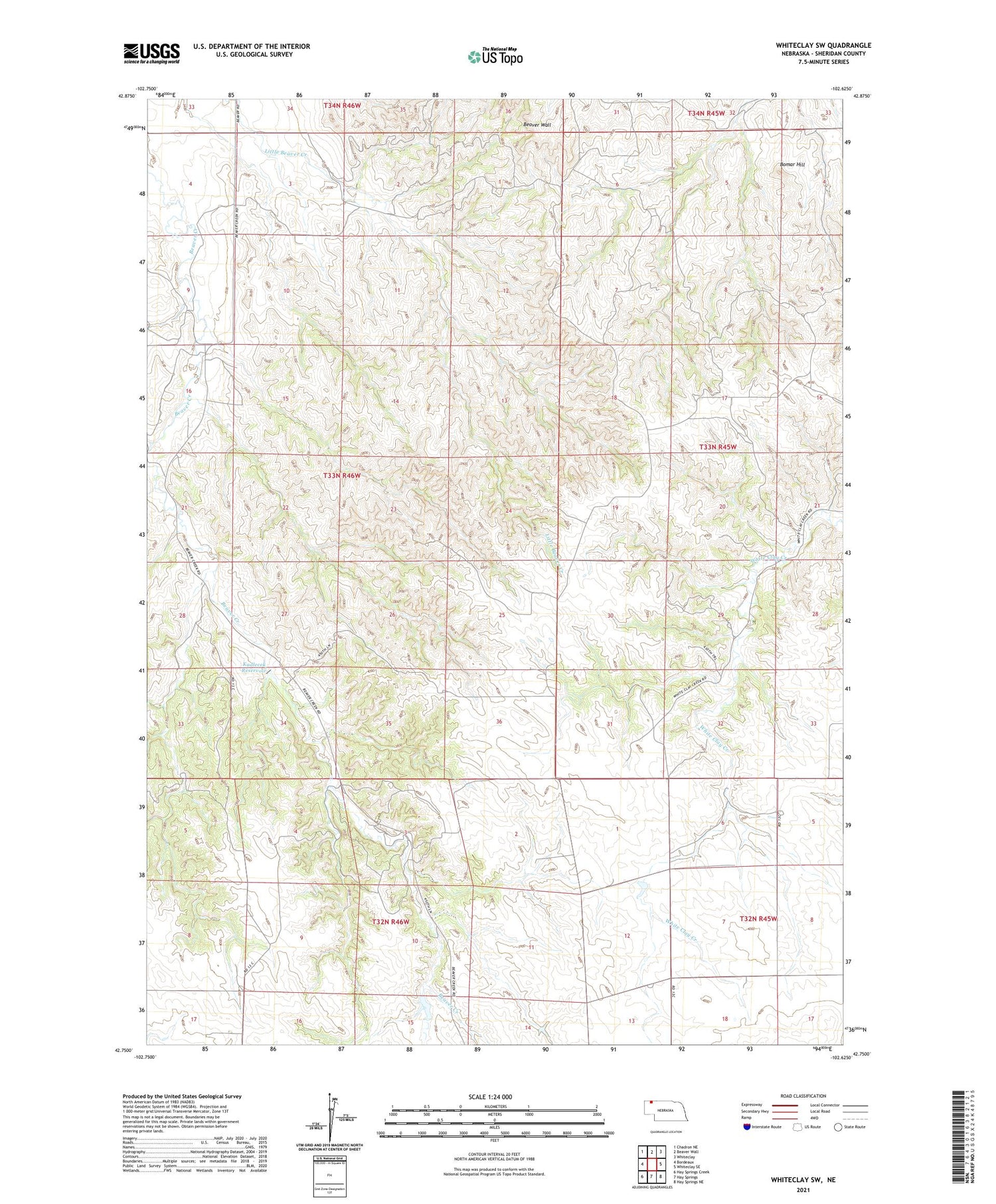
2021 topographic map quadrangle Whiteclay SW in the state of Nebraska. Scale: 1:24000. Based on the newly updated USGS 7.5' US Topo map series, this map is in the following counties: Sheridan. The map contains contour data, water features, and other items you are used to seeing on USGS maps, but also has updated roads and other features. This is the next generation of topographic maps. Printed on high-quality waterproof paper with UV fade-resistant inks.
Quads adjacent to this one:
West: Bordeaux
Northwest: Chadron NE
North: Beaver Wall
Northeast: Whiteclay
East: Whiteclay SE
Southeast: Hay Springs NE
South: Hay Springs
Southwest: Hay Springs Creek
Contains the following named places: Bomar Hill, Kadlecek Dam, Kadlecek Reservoir, Metcalf State Wildlife Management Area


