MyTopo
Wilsonville Nebraska US Topo Map
Couldn't load pickup availability
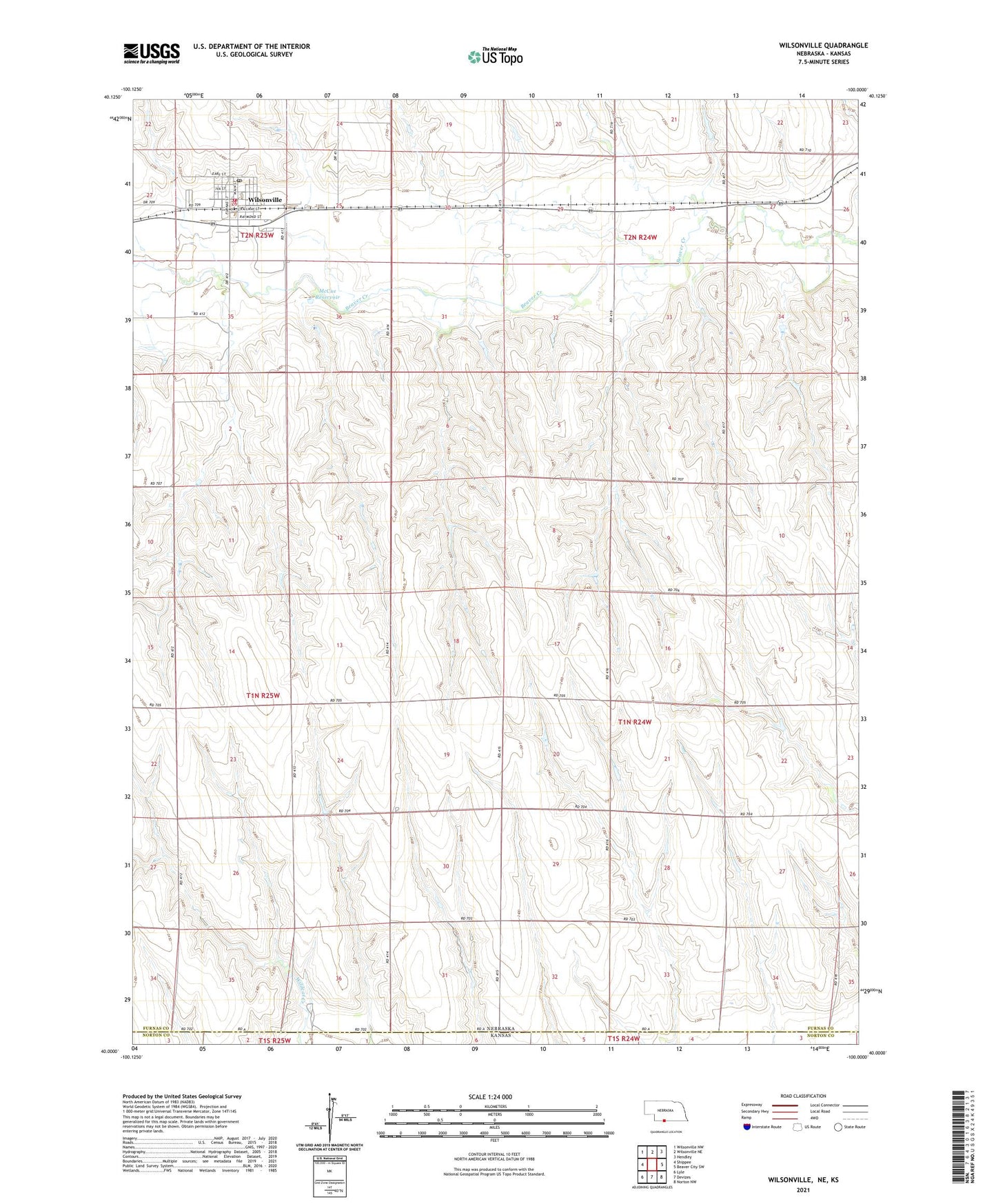
2021 topographic map quadrangle Wilsonville in the state of Nebraska. Scale: 1:24000. Based on the newly updated USGS 7.5' US Topo map series, this map is in the following counties: Furnas, Norton. The map contains contour data, water features, and other items you are used to seeing on USGS maps, but also has updated roads and other features. This is the next generation of topographic maps. Printed on high-quality waterproof paper with UV fade-resistant inks.
Quads adjacent to this one:
West: Shippee
Northwest: Wilsonville NW
North: Wilsonville NE
Northeast: Hendley
East: Beaver City SW
Southeast: Norton NW
South: Devizes
Southwest: Lyle
This map covers the same area as the classic USGS quad with code o40100a1.
Contains the following named places: McCue Dam, McCue Reservoir, Township of Rockton, Village of Wilsonville, Wilsonville, Wilsonville - Hendley Rural Fire Department, Wilsonville Baptist Church, Wilsonville Dam, Wilsonville Post Office, Wilsonville Public Library, Wilsonville Reservoir, ZIP Code: 69046